There’s an unassuming point on Howard Street where Asbury Avenue enters the City of Chicago and turns into Western Avenue. Chicago’s longest street continues for about 24 miles, creating a long streak through the city and touching or intersecting 16 of Chicago’s 77 community areas along the way. Western is a line of fixation.
Since I came to Chicago, I had the desire to walk the whole street. I wanted to see what I came across and what I thought about along the way. In a sense I’ve seen it as a pedestrian’s pilgrimage of sorts. I thought, maybe, I’d find some deeper meaning through these travels, or at least learn something new about the city. And honestly, I just wanted to say I did it.
I’ll be up front, I didn’t walk the whole avenue in one outing. I split my journey into four days to make the hike a bit more manageable. I should note that this quest isn’t entirely unique. Seven years ago, two Chicagoans shared a documentary in which they walked all of Western Avenue, drinking at 64 bars along the way.
I didn’t have a set list of places or people to visit on my walk. I wanted to capture, if possible, a spontaneous moment in Western Avenue’s long history as viewed from the street.
Anyway, I now present my journey along the entirety of Western Avenue in Chicago.
Day 1
West Ridge
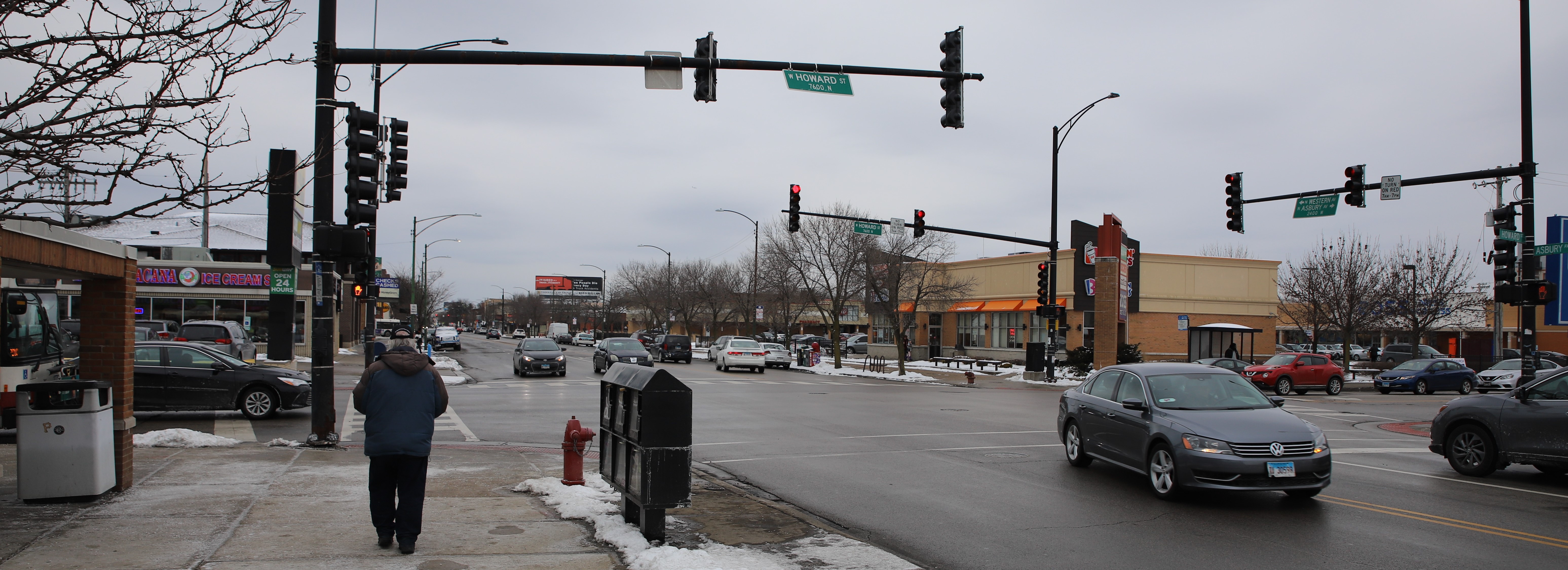 The beginning of Western Avenue. Christopher Silber, 14 East.
It’s Saturday, February 15, and it’s a cold day to start a walk.
Western Avenue begins at a commercial intersection on Howard Street at the entrance to the West Ridge community area and the City of Chicago. The street, like much of Western, is commercial and teeming with cars. I pass La Michoacana and Walgreens and head down the street. Out here, the 49B/Western bus runs from this intersection to the Western Brown Line Station.
The West Ridge area was settled by the Potawatomi in the 1600s. After the Treaty of St. Louis in 1816, Indigenous tribes were forced north across a border in present-day West Ridge, a line now memorialized in Indian Boundary Park, which I pass on Western Avenue.
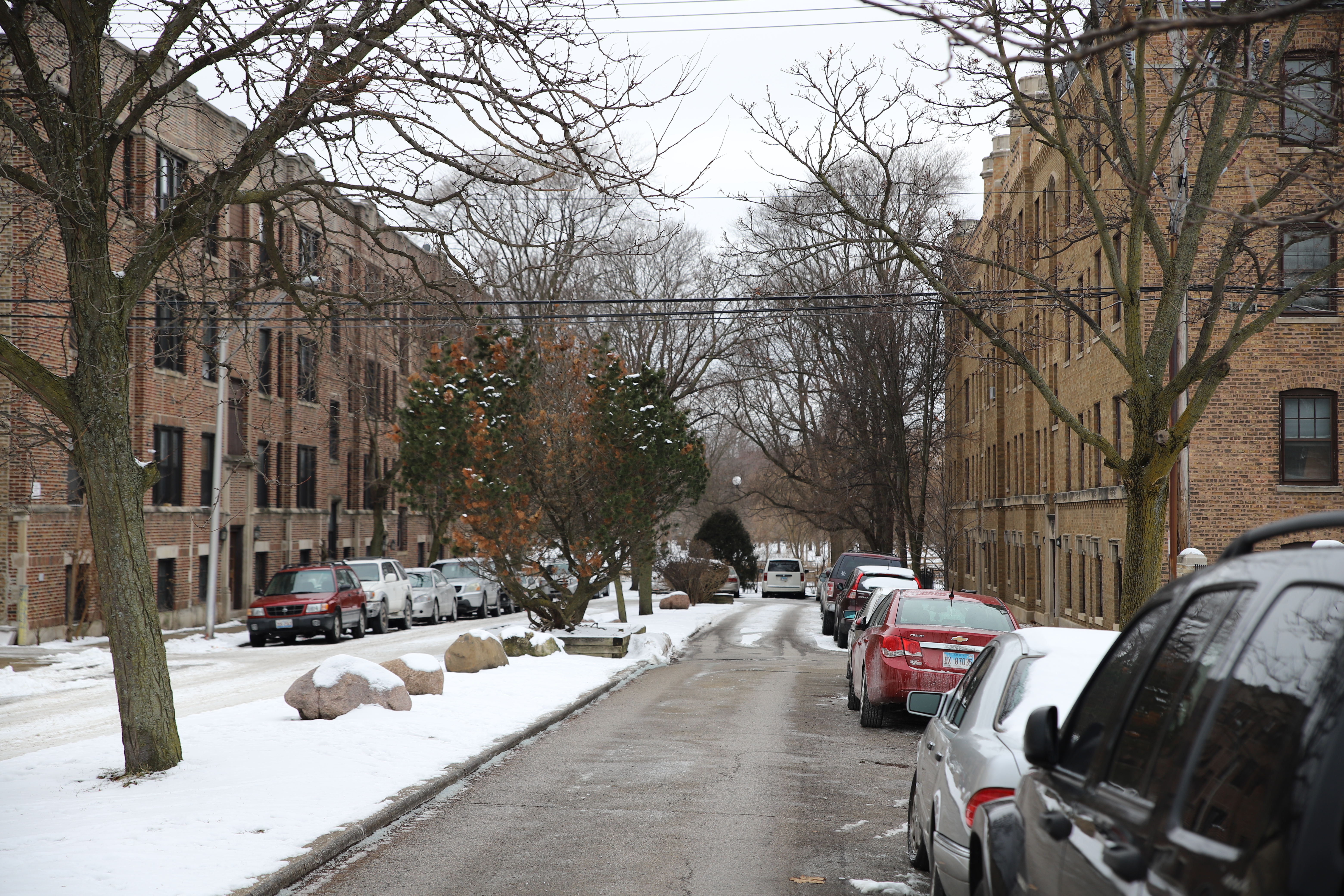 Indian Boundary Park lies behind the apartments on Greenleaf Avenue. Chris Silber, 14 East.
American settlers forced the Potawatomi out of West Ridge in the 1830s, and the area was mostly farmland until the 1900s. Growing brickyards in the area brought German and Northern European workers in the early 20th century, when most of the 2-4 flats and bungalows in the community were built.
I pass Warren Park on Pratt Boulevard, and a fond memory comes to mind. I saw people playing cricket live for the first time in my life when I first made my way to the park nearly four years ago for a rugby match. The park is named after Laurence C. Warren, a prominent community leader in the area and son of Jewish and German immigrants. West Ridge gained a significant Jewish population after World War II, and the community still has a Jewish community of roughly 25,000. 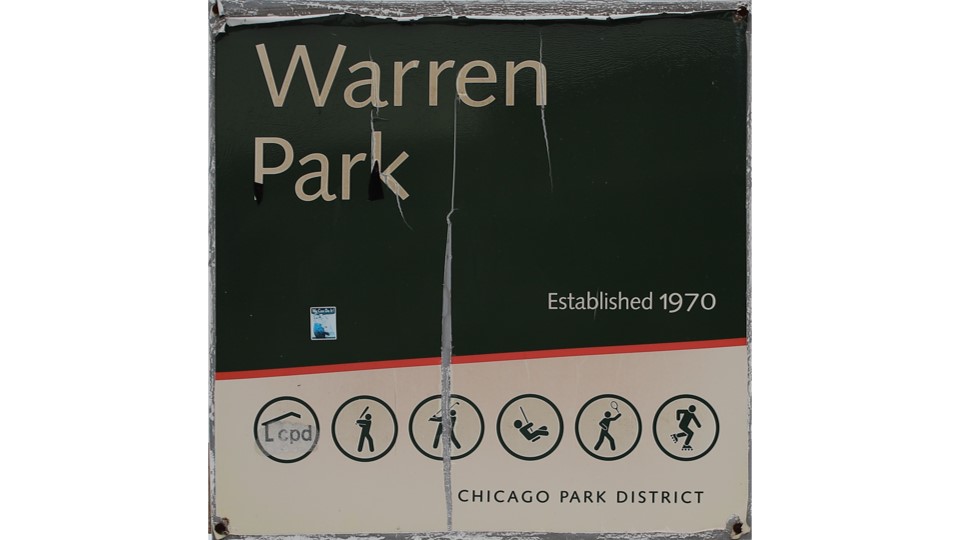
The entrance sign for Warren Park shows a list of activities available at the park. Christopher Silber, 14 East.
The cricket, however, points to another prominent community in West Ridge. Just south of Warren Park I walk into Little India on Devon Avenue. This commercial strip is home to Chicago’s Indo-American Center, which was founded in 1990 to address the needs of the area’s growing south Asian population.
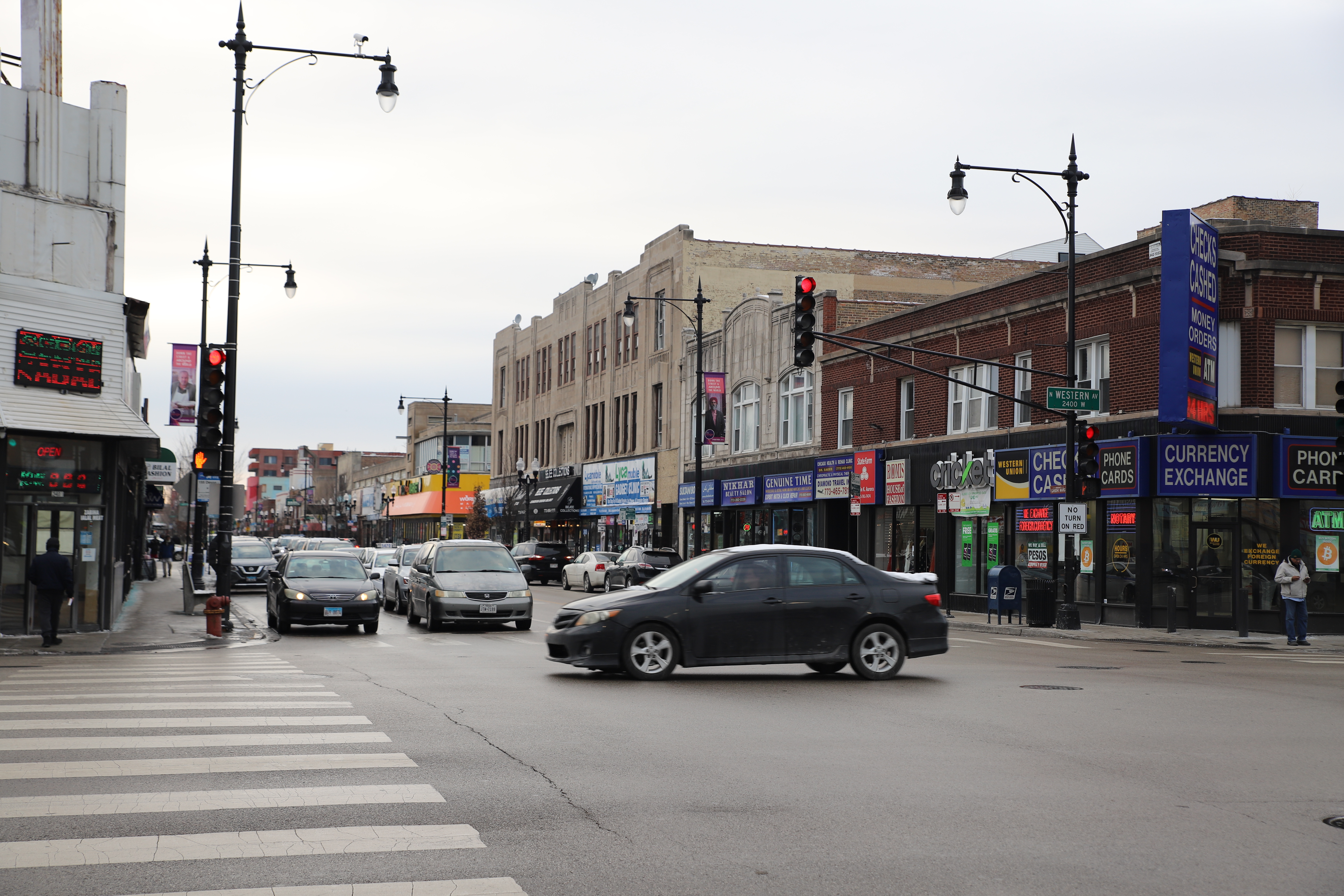 Little India at the corner of Western and Devon avenues. Christopher Silber Silber, 14 East.
Most things are frozen as I walk along the avenue. I see a traffic cone that seems to have gotten the worst of the street slush.
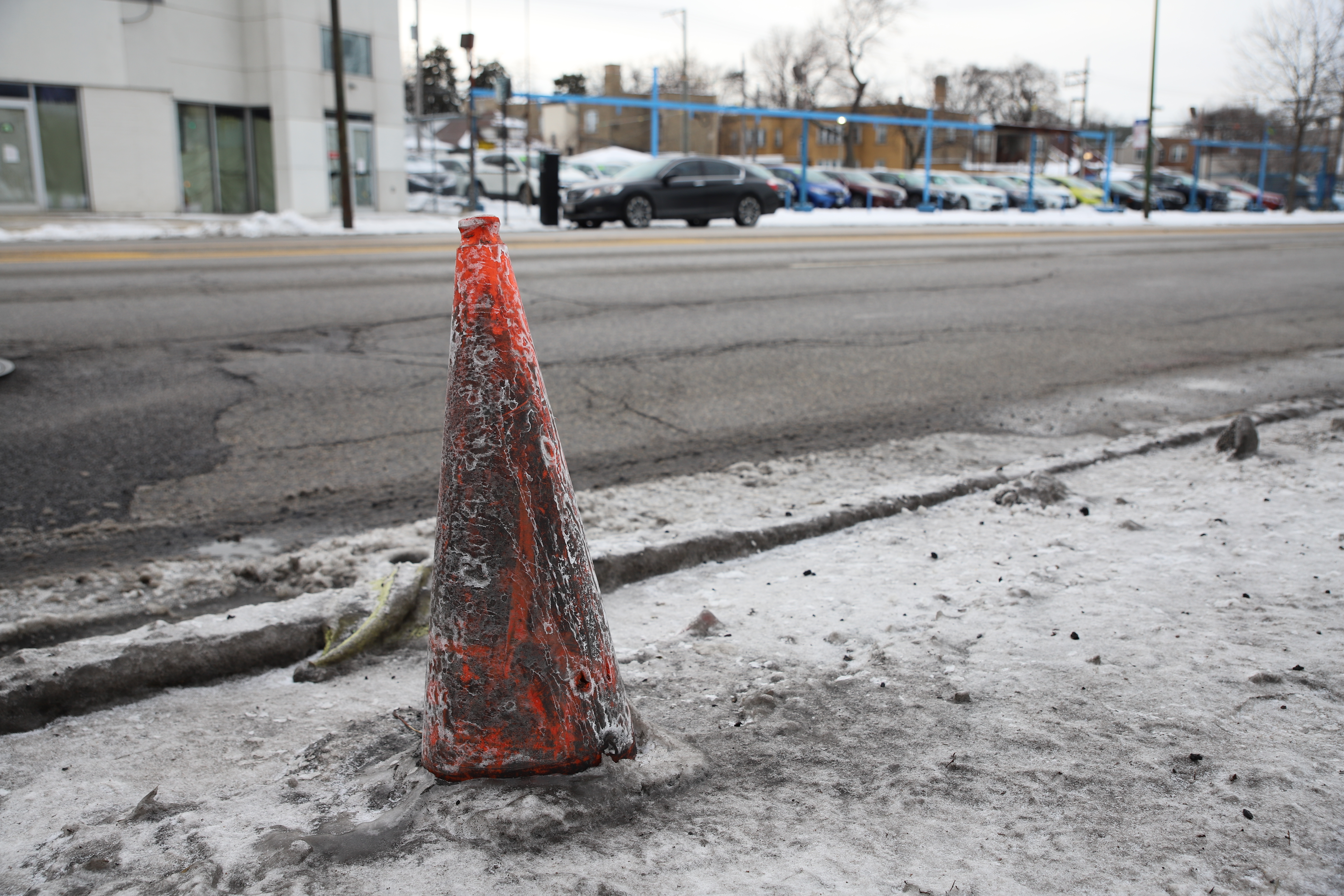 A lonely traffic cone. Christopher Silber, 14 East.
I pass the large Chicago Toyota Northside dealership, one of dozens of car dealerships I will eventually find on Western Avenue.
Up ahead I see the largest cemetery in Chicago, Rosehill. Thousands of famous and forgotten Chicagoans, including 13 city mayors, lie in its confines, which stretch for about a mile along Western.
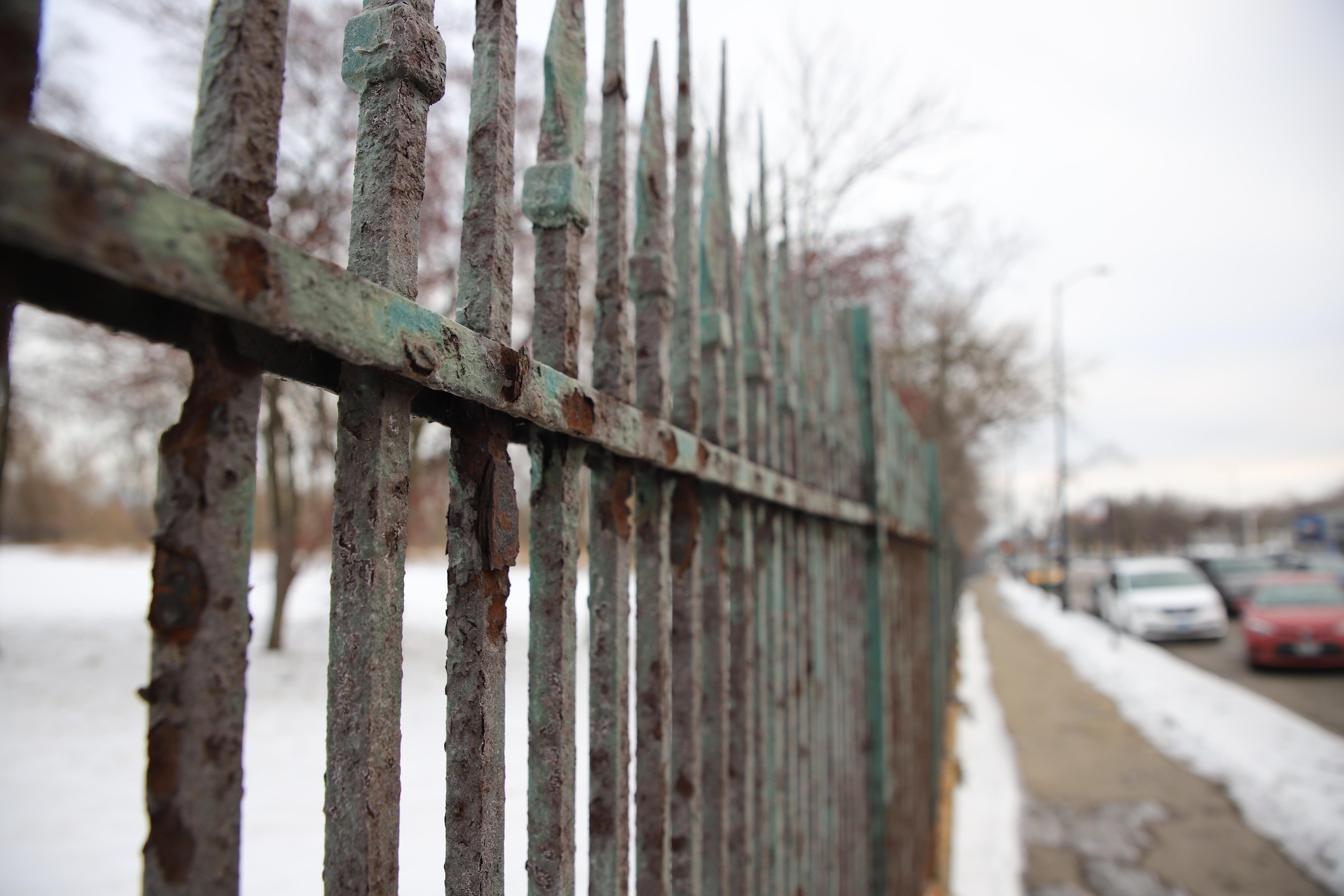 The fence to Rosehill Cemetery. Christopher Silber, 14 East.
I become enamored with the old iron fence I walk along for 15 minutes. The metal is quite rusty, and it gives the cemetery a bit more of a haunting appearance.
In 2011, the Chicago Park District acquired some of the cemetery land along Western and turned it into the West Ridge Nature Preserve. On this February afternoon most of it is covered in snow, but bushes and tree limbs peek out.
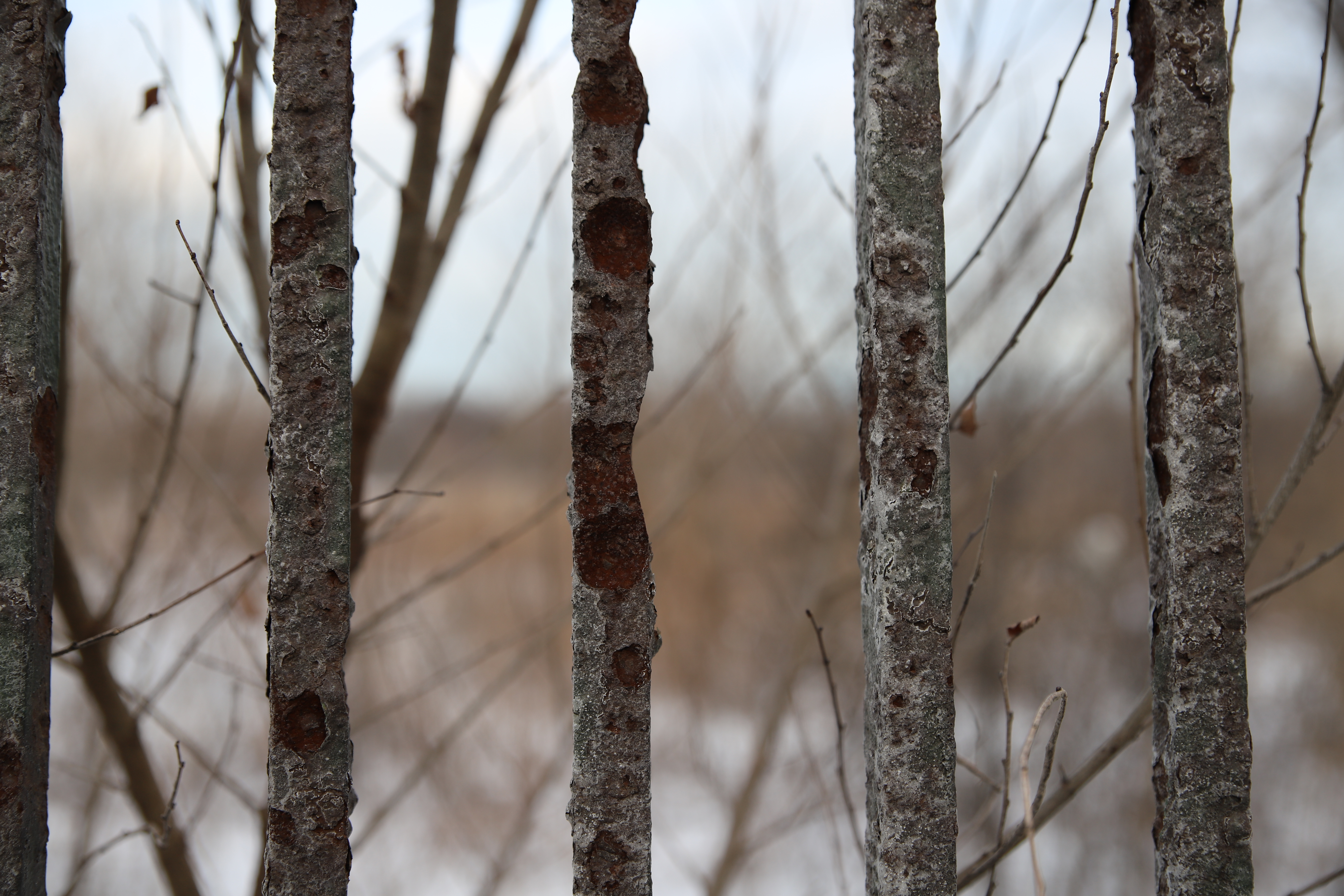 Bush limbs peek out behind the fence that surrounds the cemetery and the nature preserve. Christopher Silber, 14 East.
After Rosehill, I see the bus depot where the regular 49/Western bus route begins. The 49/Western bus runs all the way from Berwyn Avenue to 79th Street, making it one of the longest routes on the CTA.
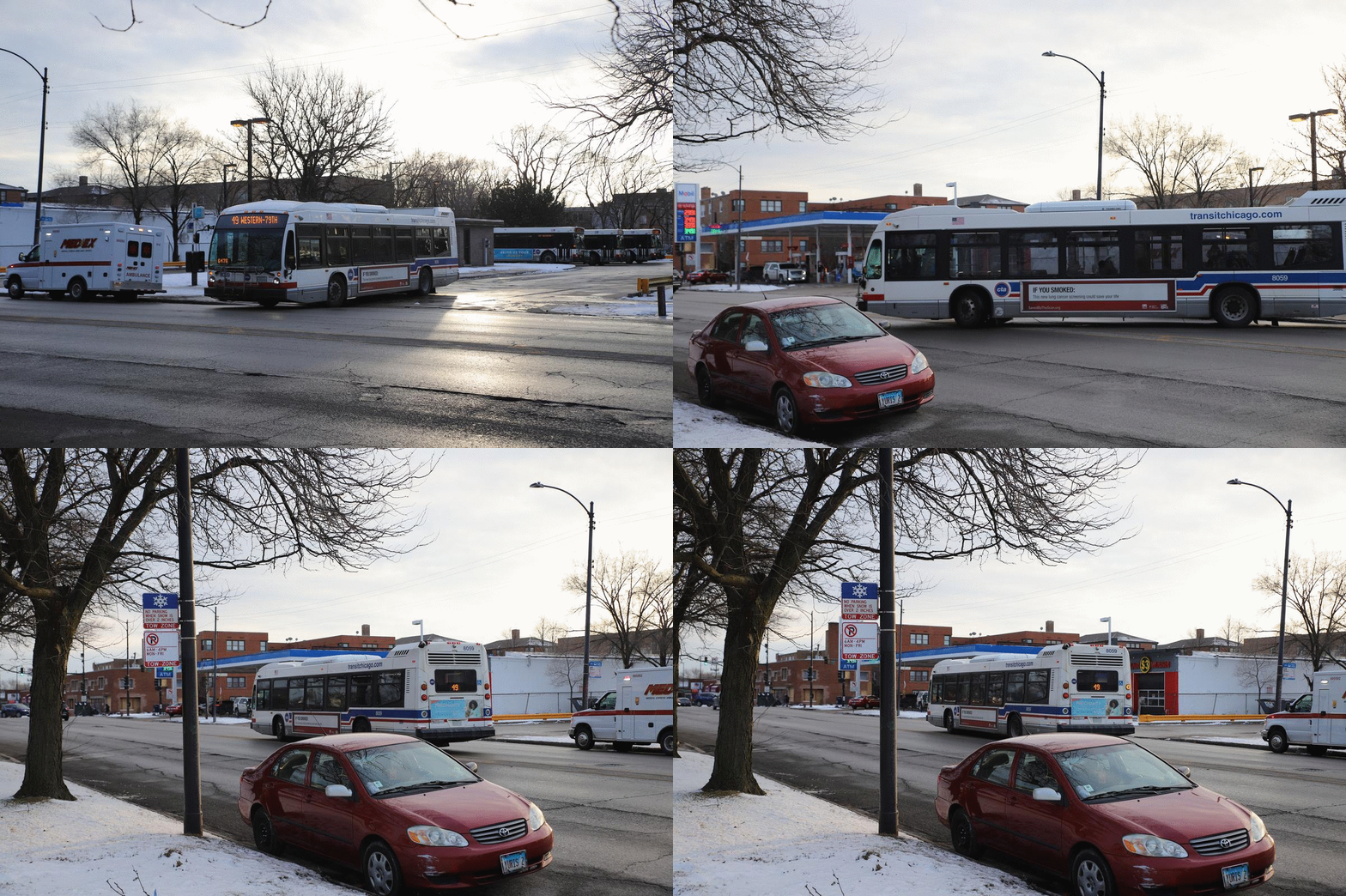 A 49/Western bus heading south pulls out of the depot. Chris Silber, 14 East.
Lincoln Square (Pt. 1)
At this point I’ve made it to Lincoln Square. The community was named after Abraham Lincoln in 1925, and the city erected a statue of the president along its main commercial intersection at Western, Lincoln and Lawrence in 1956.
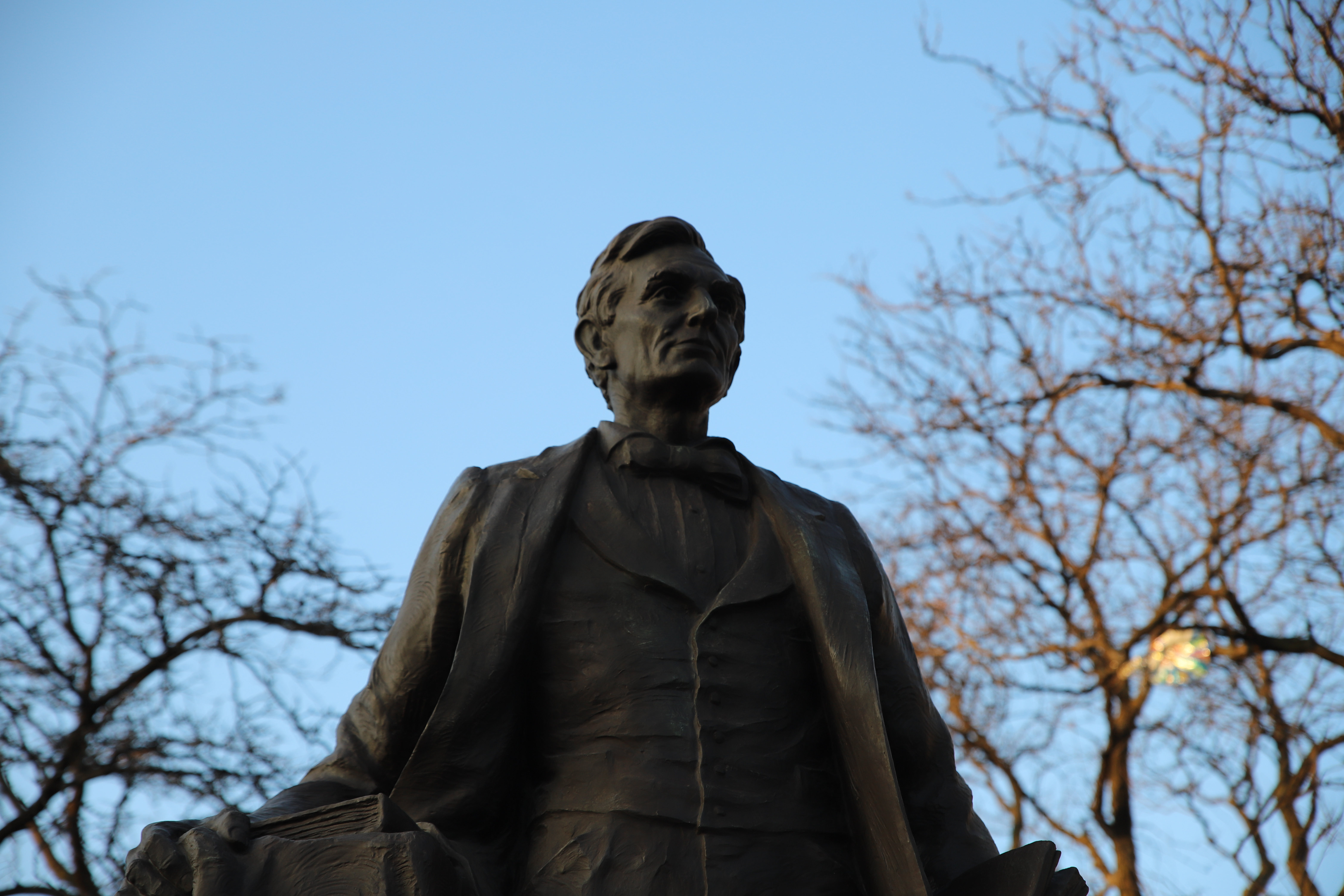
The statue of Abraham Lincoln watches Chicagoans go by. Christopher Silber, 14 East.
Just south of this intersection I reach the Western Brown Line Station, the first of five ‘L’ stops on the street. I decide to call it a day on my first leg of the journey.
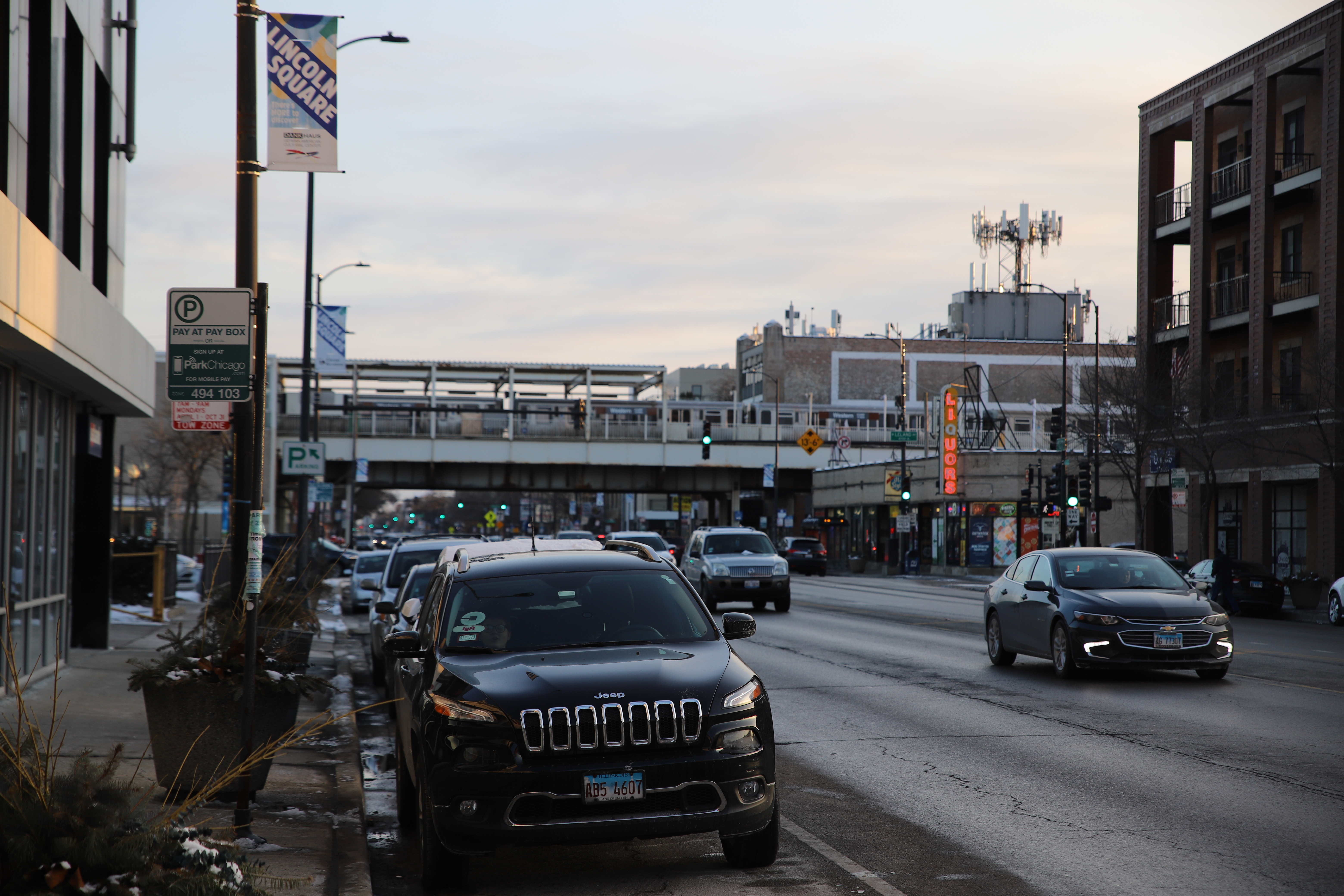
A train rolls by at the Western Brown Line Station. Christopher Silber, 14 East.
Day 2
Lincoln Square (pt. 2)
It’s sunny, it’s Saturday, February 21, and (dare I say) it’s nearly warm outside. I get off at the Western Brown Line to pick up on my travels and find that the street has more people out and about.
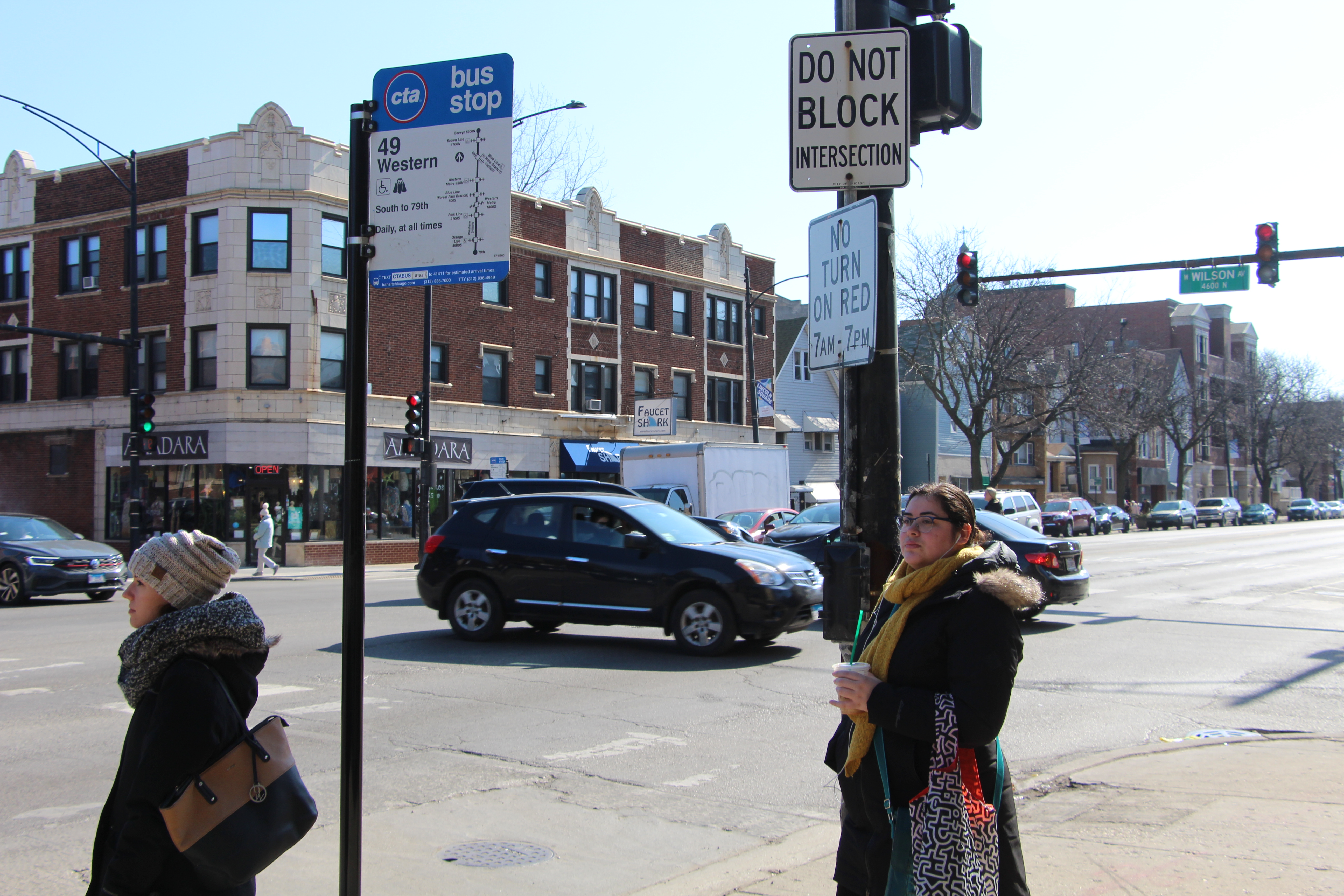
A few residents wait at the 49/Western bus stop at Western and Wilson avenues. Christopher Silber, 14 East.
Early on my walk, an older couple asks me to help them find the gymnasium where their granddaughter is playing a basketball game. They’re at the Queen of Angels School just south of Western and Wilson, but they need to get to the Queen of Angels Parish Center, which is a block south. On the way they tell me the story of a big fire that happened at the school many years ago, but I’m pretty sure they were thinking of the Our Lady of the Angels fire in 1958, which took place in Humboldt Park. Either way, we found the building and wished each other goodbye.
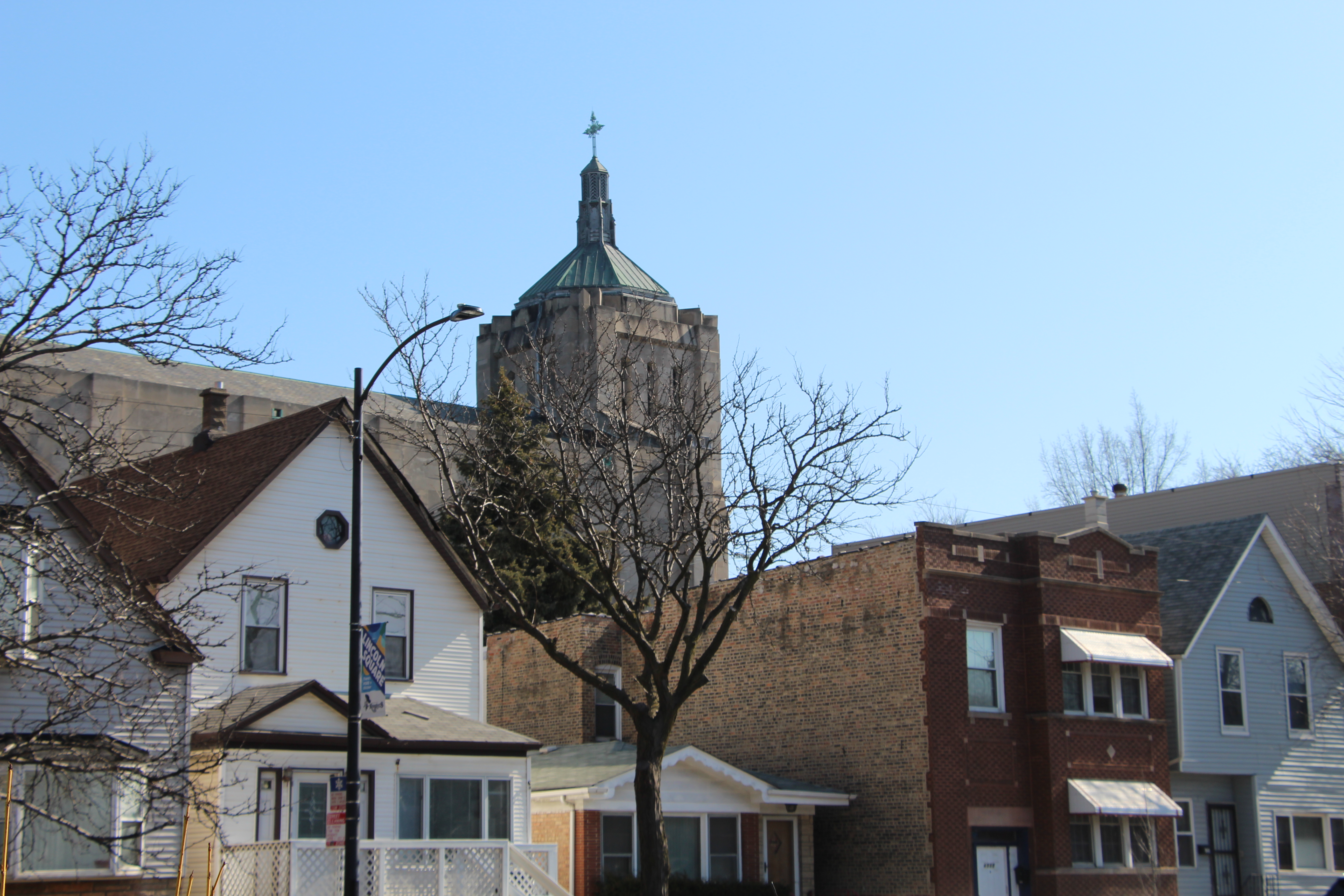
The tower of Queen of Angels Catholic Church peeks over some homes on Western. Christopher Silber, 14 East.
I reach Welles Park where several residents and families are making use of a rare sunny weekend in February. The park has a special claim to fame: Abe Saperstein, who founded, owned and coached the Harlem Globetrotters, started coaching basketball at the park in the 1920s.
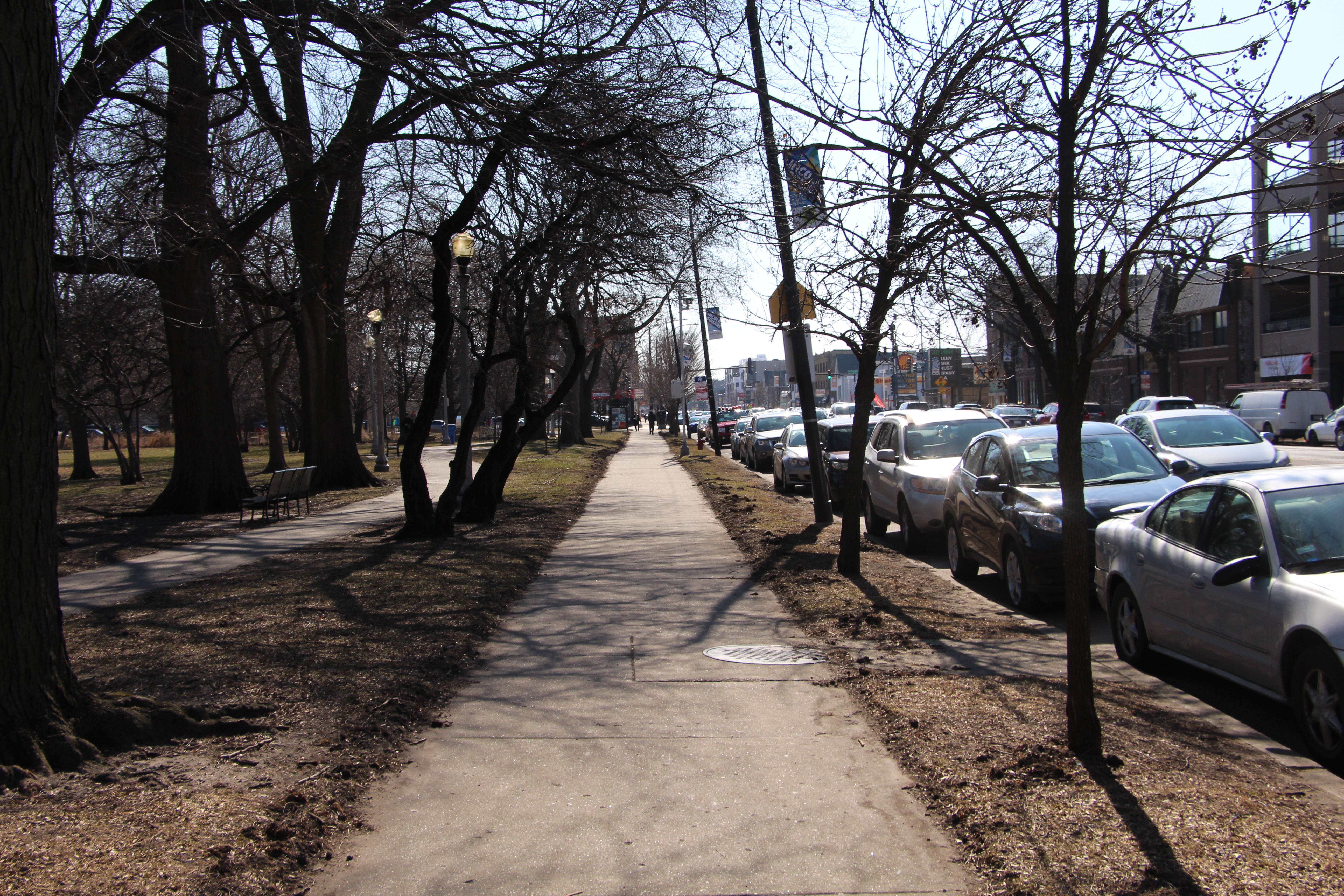
Trees line the sidewalk along Welles Park, providing a bit of shade. Christopher Silber, 14 East.
North Center
I now head into the North Center community area, and come across a mix of commercial and residential spaces.
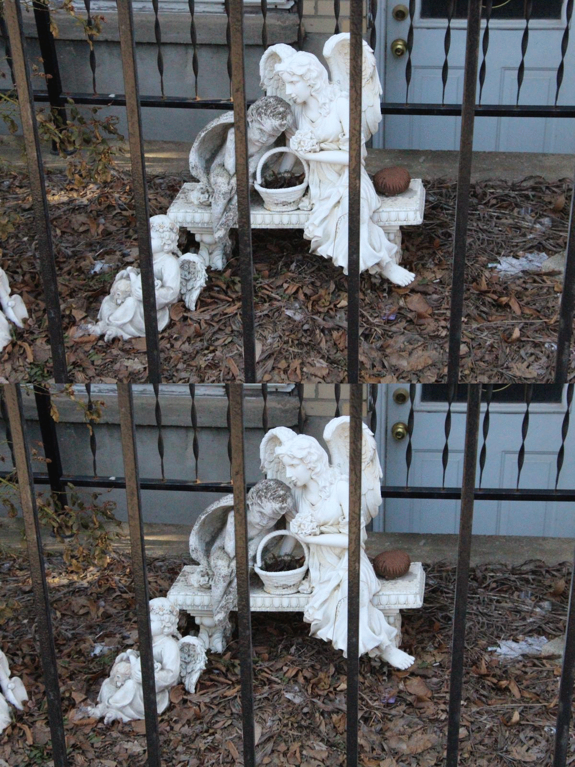
Angel statues sit behind a fence near Western and Pensacola avenues. Christopher Silber, 14 East.
I also come across a fair amount of construction. On Western Avenue and Hutchinson Street a few construction workers are power washing the side of a new building. This $8 million development will have 48 units when it’s completed.
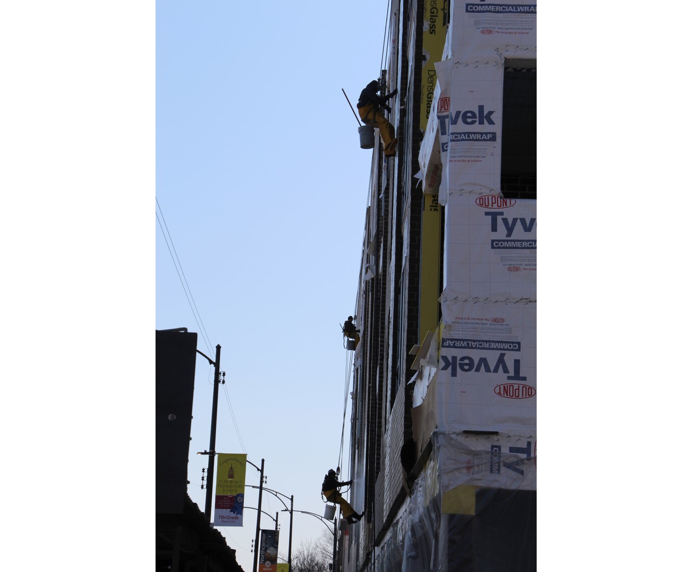
Three workers wash the bricks on a new building on Western and Hutcherson avenues. Christopher Silber, 14 East
Just after passing Irving Park Road, I see a memorial for Michelle Robey, who was shot and killed by a police officer at the intersection in 2017. The event spurred a lawsuit, and was an event in which people questioned Chicago police officers’ use of force against people with mental illnesses.
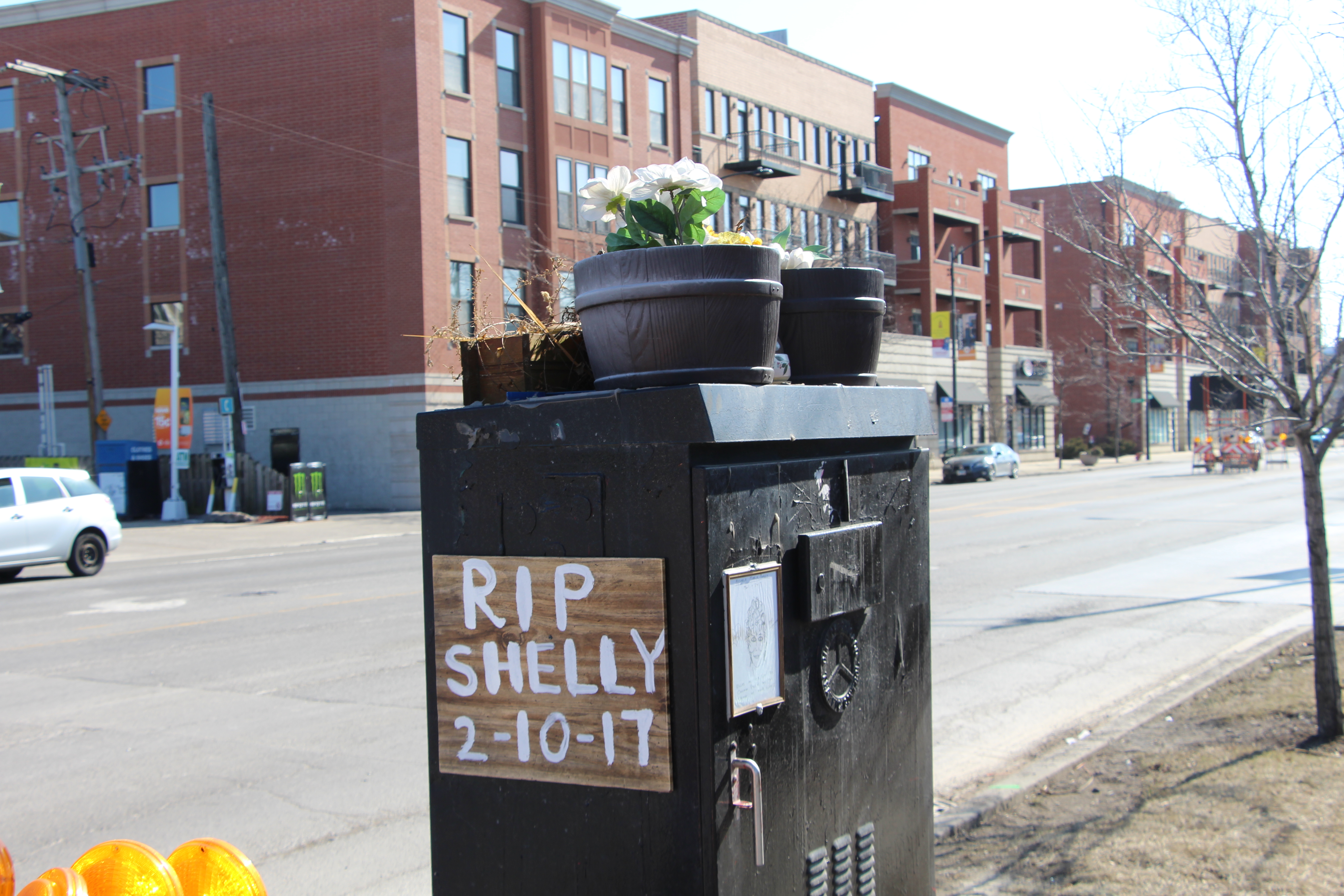
A memorial for Michelle Robey sits on a traffic control box at the intersection of Western Avenue and Irving Park Road. Christopher Silber, 14 East.
I continue down Western and find, among other businesses, an empty car dealership and a bowling alley. Near Addison Street I have a brief conversation with a Wendy’s worker who is putting new letters on the eatery’s sign.
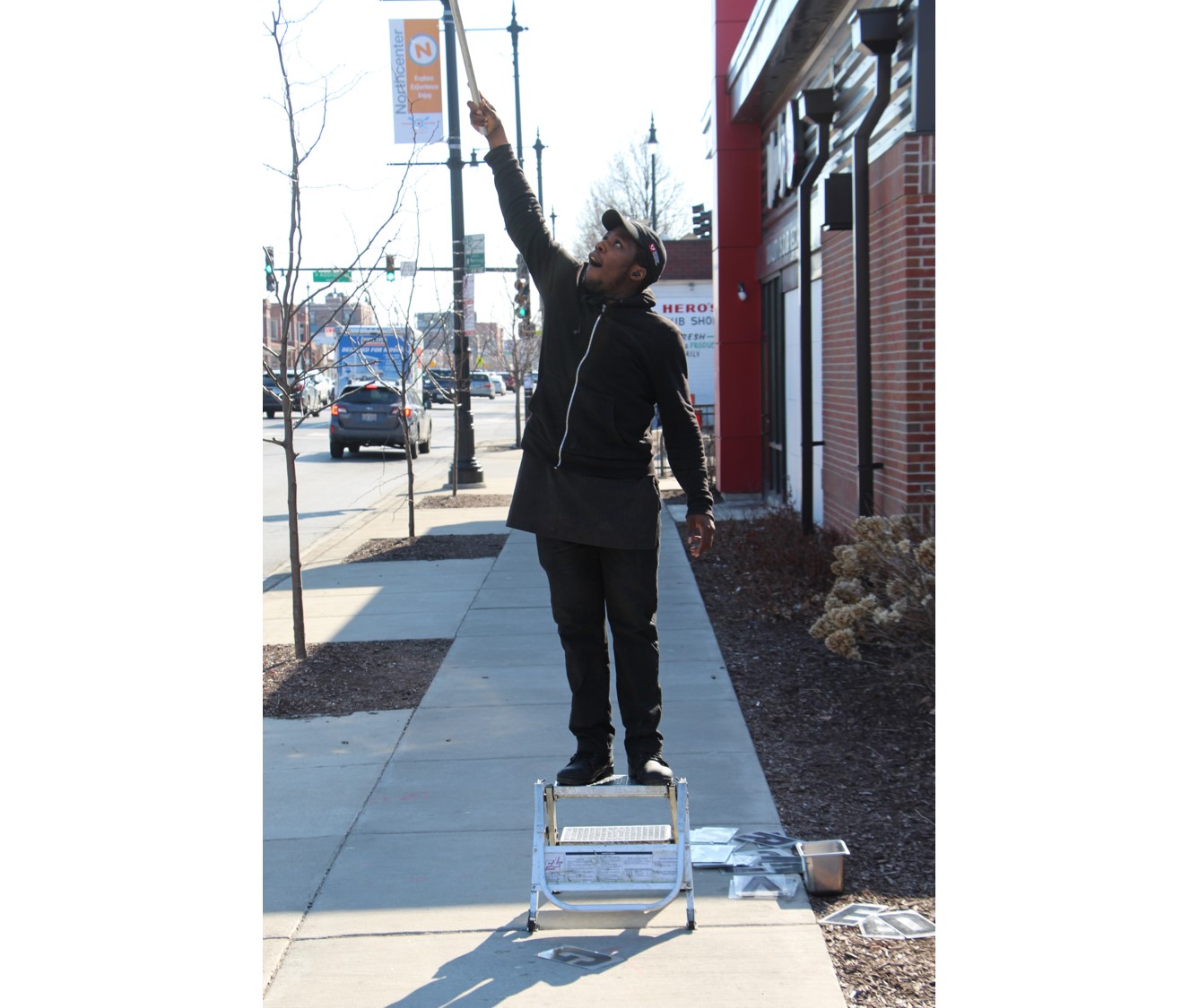
A Wendy's employee uses a stick device to put new letters on a sign. Christopher Silber, 14 East.
Across the street I walk by Lane Technical College Prep High School, better known as Lane Tech. The magnet school is the largest high school in Chicago with more than 4,000 students. Lane Tech moved into its current facilities on Western Avenue in 1934.
The land just south of Lane Tech is now a shopping center featuring a Mariano’s, Jewel-Osco and a Chicago Police Station, but for about 50 years, from 1904 to 1967, the area south and west of Lane Tech held a famous 74 acre amusement park named Riverview Park. The park was still relatively popular when it abruptly closed, and people have several theories as to why it shuttered.
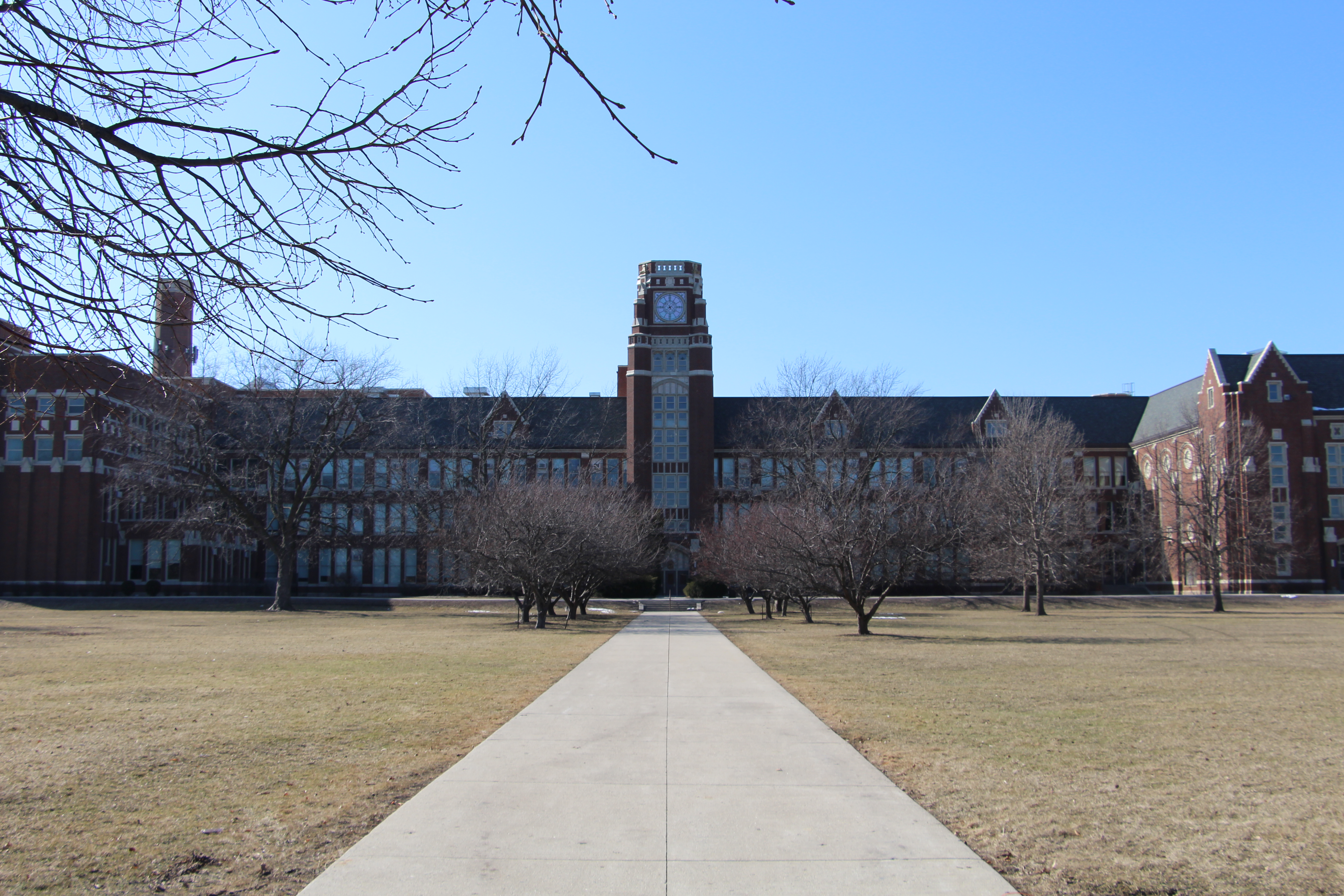
The grand entrance to Lane Tech. Christopher Silber, 14 East.
A flyover used to take drivers on Western over the intersection of Belmont, Western and Clybourn avenues to ease congestion around the park. The flyover was demolished in 2016 due to deterioration, and now the intersection is unobstructed.
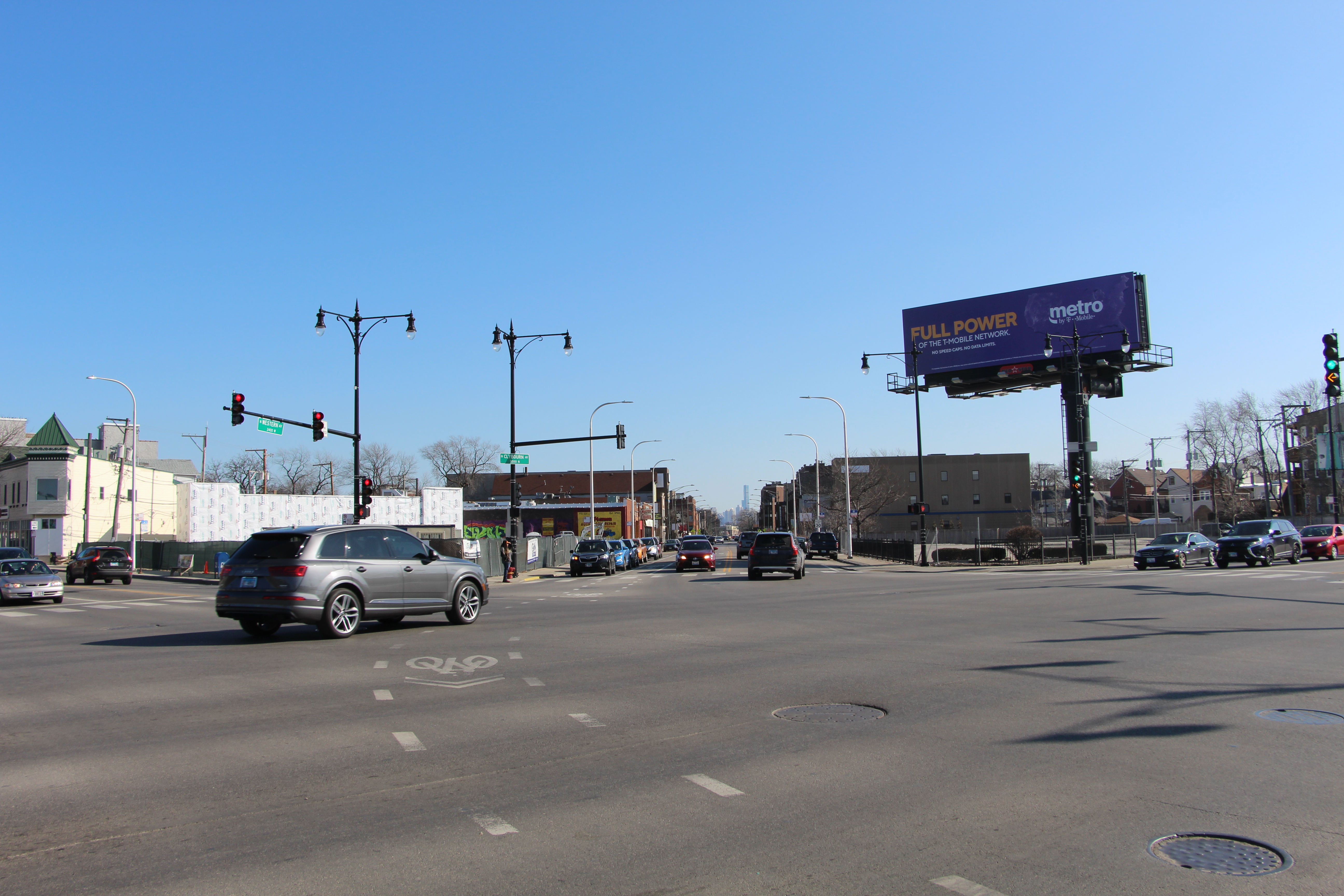
The flyover-less intersection at Western, Belmont and Clybourn, with Vista Tower visible in the distance. Christopher Silber, 14 East.
I pass over the North Branch of the Chicago River on a bridge that was also rehabilitated in the recent Western Avenue Improvement Project. The originally constructed bridge was built during the Richard J. Daley administration in 1973.
I never know what to think when I pass over the Chicago River. It’s both a beautiful sight and the historical location of much of the city’s industry. Less than two miles southwest of where I stand, the contentious Lincoln Yards development is reshaping this riverfront, but I’ve always felt its soul was in its manufacturing. The North Branch is the site of Chicago’s first Planned Manufacturing District. Much of the city’s historic growth —and the pollution that came with it — occurred on these banks.
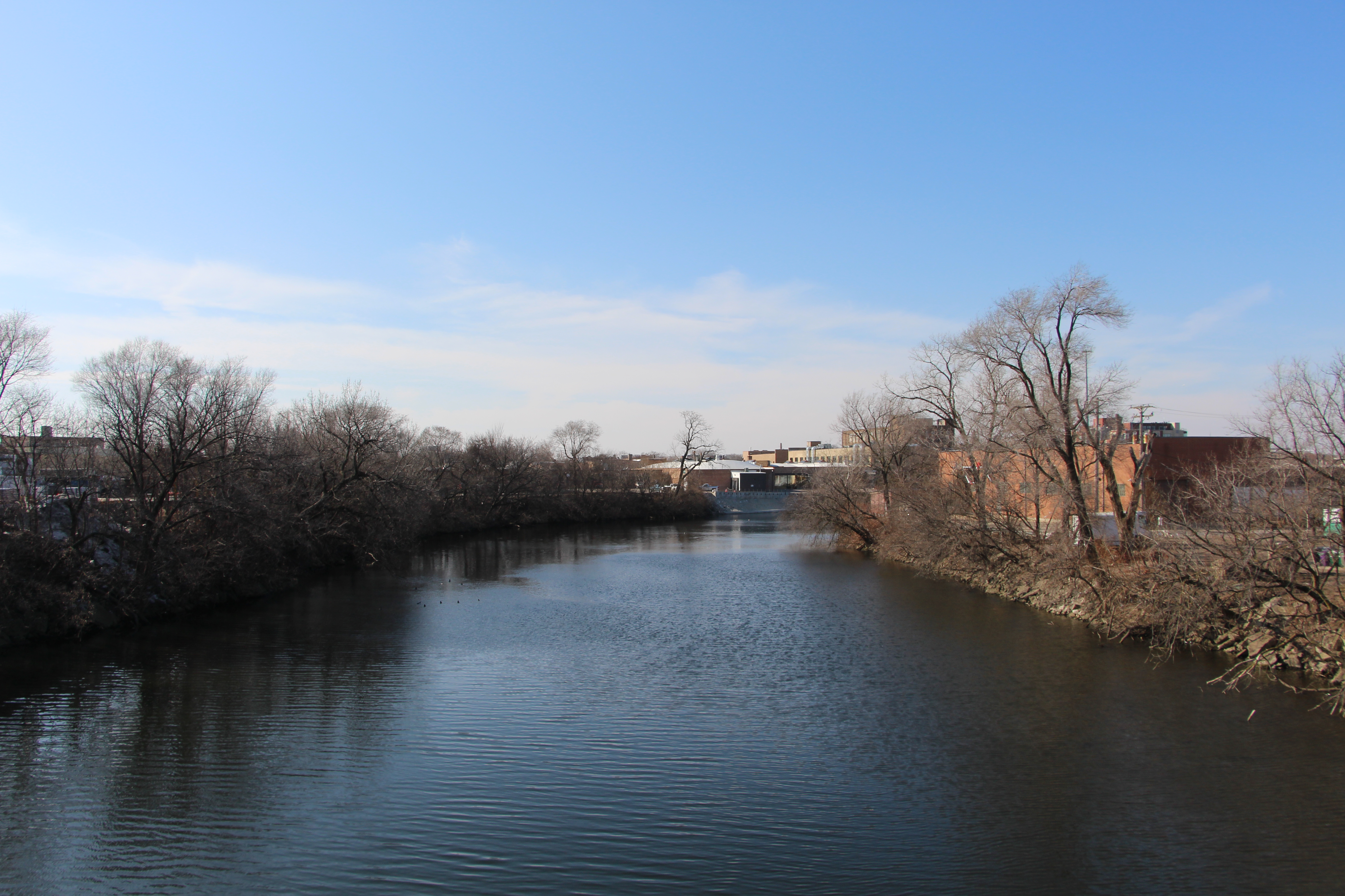
Water on the North Branch of the Chicago river gently drifts. Christopher Silber, 14 East.
Logan Square
I now find myself in the northern section of Logan Square. I pass under the Kennedy Expressway and come out around Fullerton Avenue, just under two miles from DePaul’s Lincoln Park Campus.
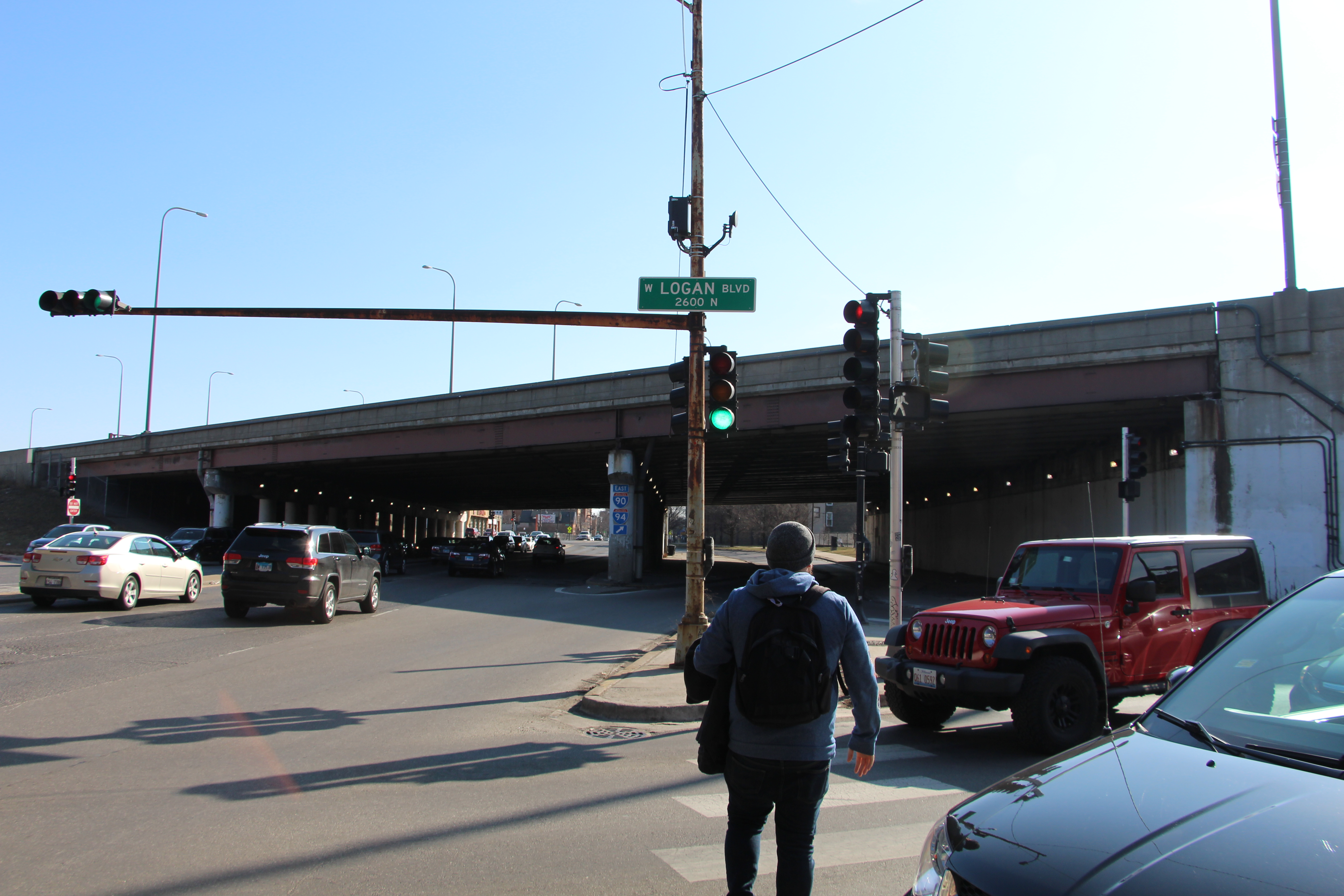
The Kennedy Expressway covers a portion of Western Avenue. Christopher Silber, 14 East.
I immediately notice a lot of sticker art on signs, windows, walls and fences. Some stickers equate to tags for whoever put them up. Others say simple phrases. One just says, “GO FAST!”
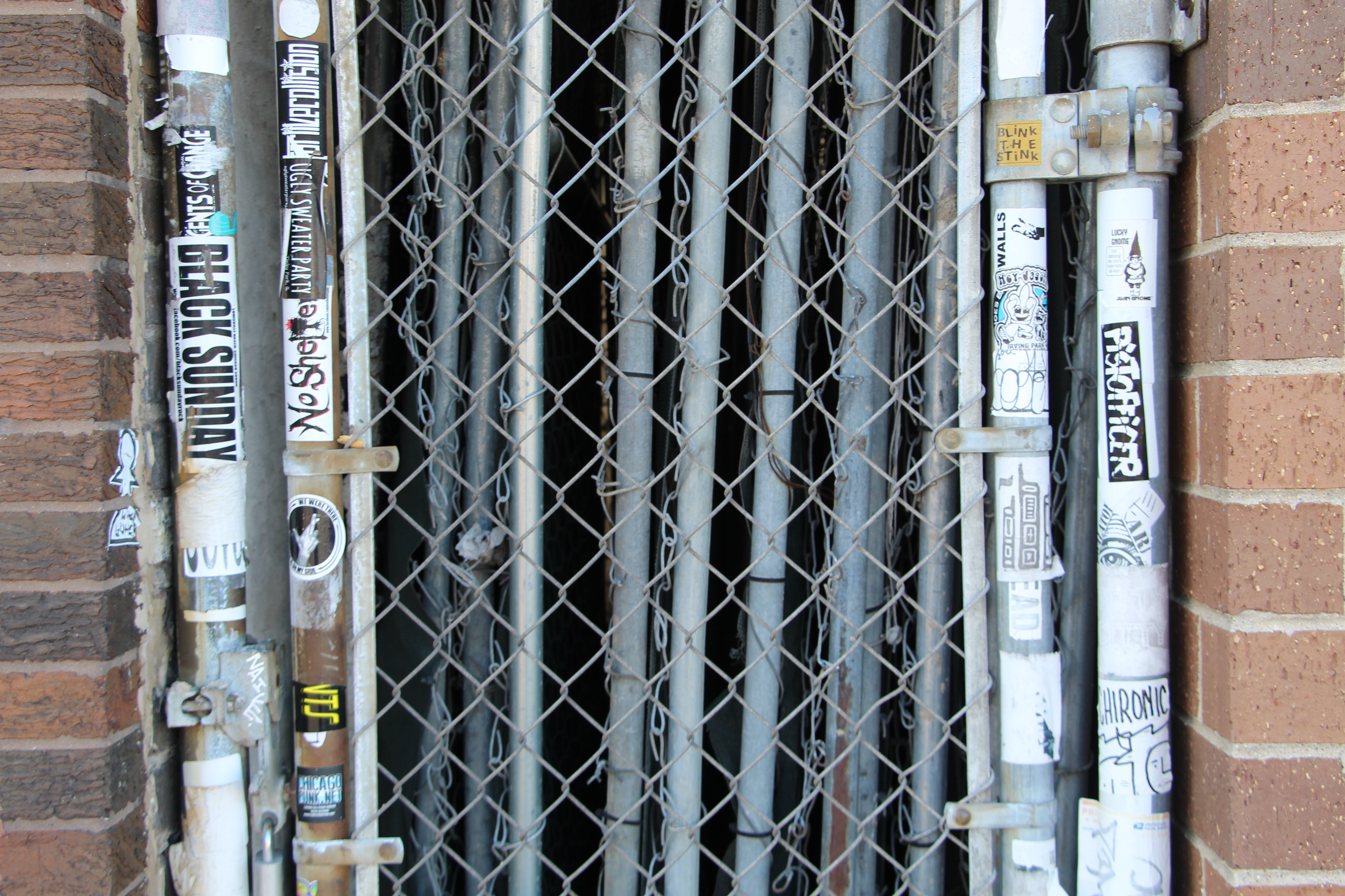
Stickers line a gate. Christopher Silber, 14 East.
I pass a few quirky businesses, including a used safe store, a neon sign store and a magic shop.
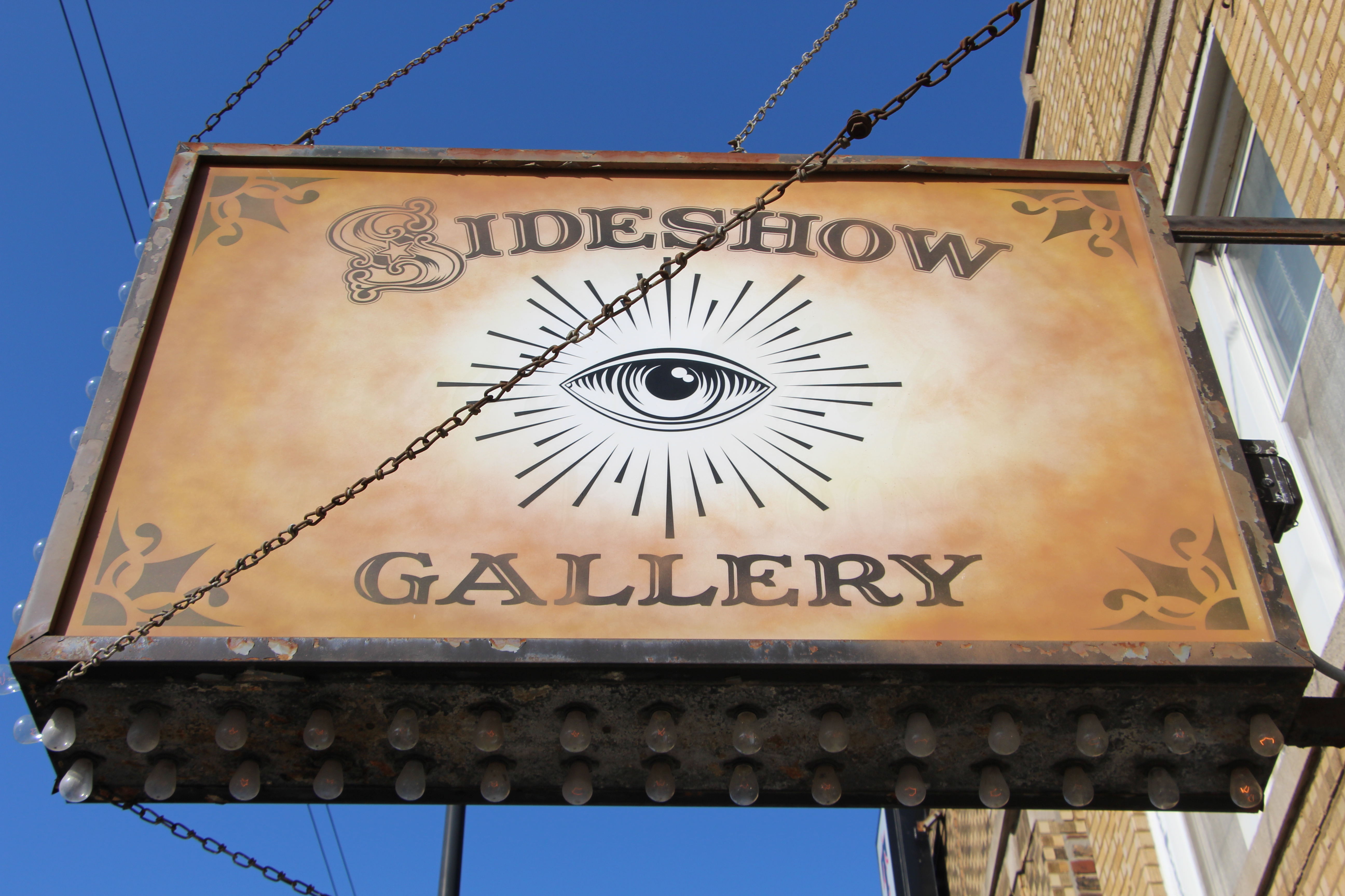
One of many interesting signs in Logan Square. Christopher Silber, 14 East.
Logan Square is a community that has witnessed significant change in the 21st century. More than 65 percent of residents were Hispanic or Latinx in 2000, but the Latinx population is now closer to 43 percent. On the street, new apartments mingle with older buildings in the community that many consider the face of gentrification in Chicago.
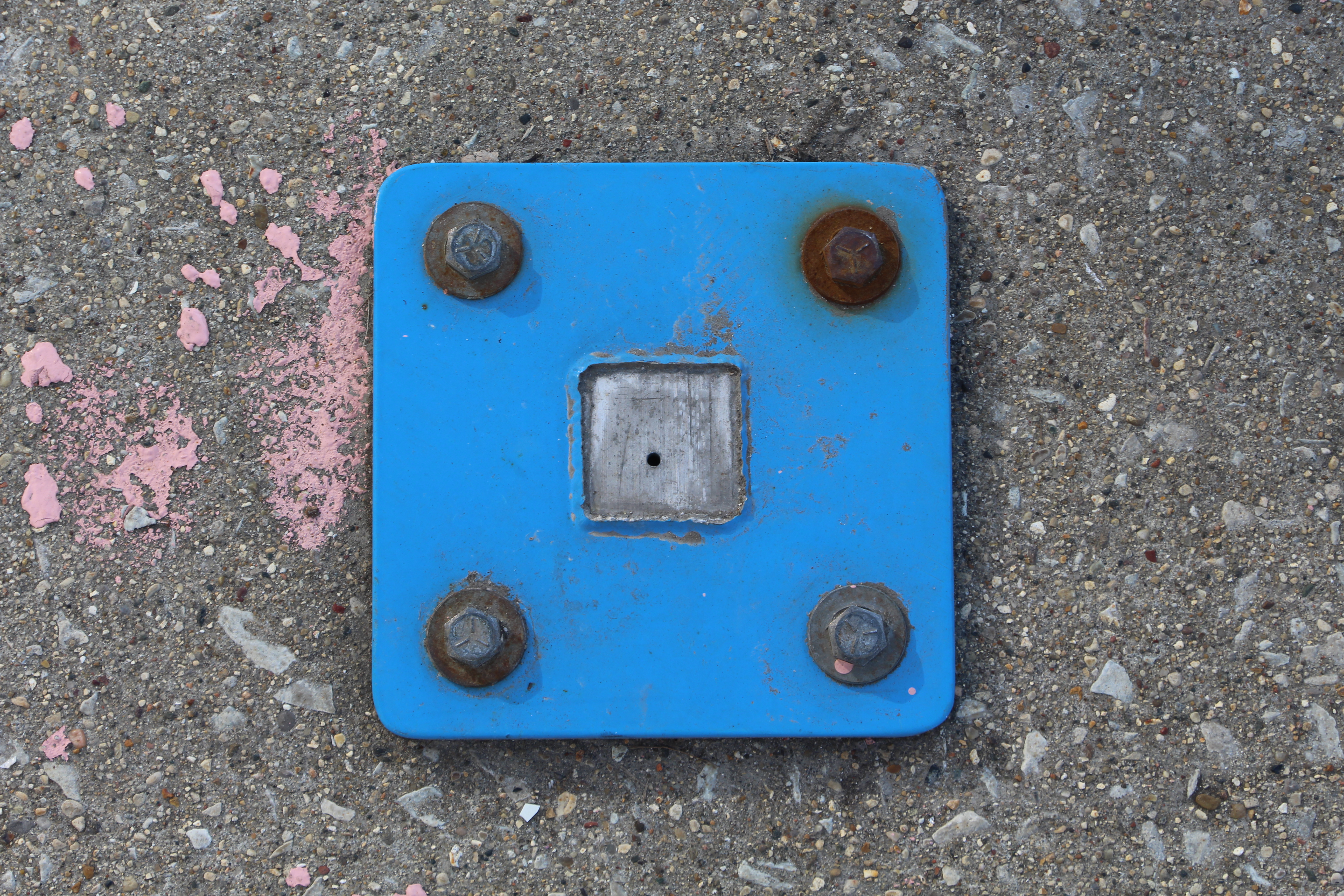
Remnants of an old bike rack stay drilled into the ground just north of Charleston Street. Christopher Silber, 14 East.
I near the first of two Western Blue Line stations at the intersection of Western and Milwaukee avenues. I see for the first time the only stretch of road on Western Avenue marked as a bus lane. At this hour on the weekend, any car is allowed in the lane, but from 7 a.m. to 9 a.m. on weekdays cars can be ticketed for being on the red paint — though many note enforcement is quite light.
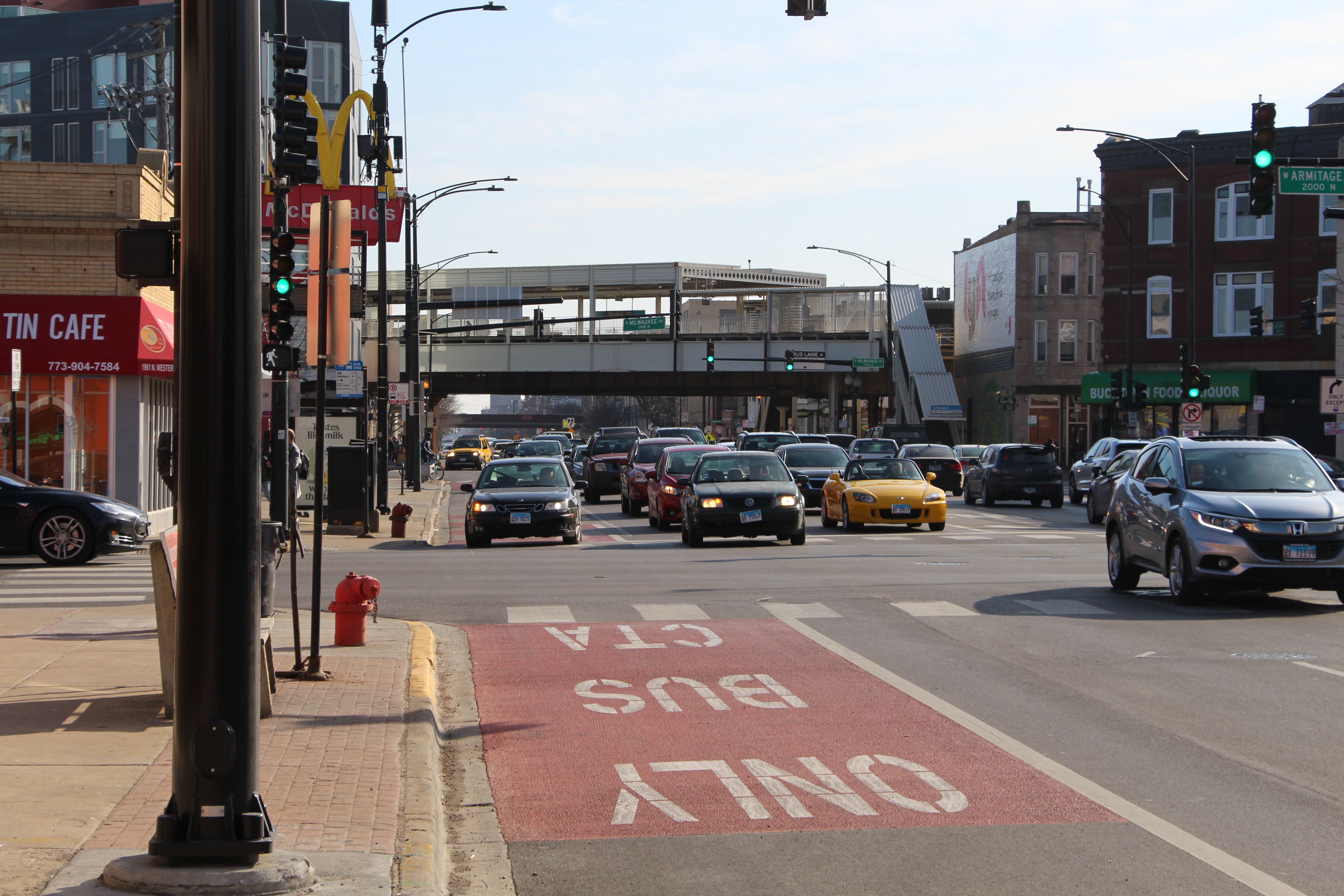
Cars meander under the Western Blue Line Station on Milwaukee Avenue. Christopher Silber, 14 East.
I decide to call it a day at this point and head home. As I stand on the elevated platform and look out at Western Avenue, it strikes me how much this street is dominated by cars. At some point I internalized the constant engine hums and honks of the wide arterial street, which usually runs two lanes in both directions. Even the near constant presence of the 49/Western bus pales in comparison to the consistency of cars flying by.
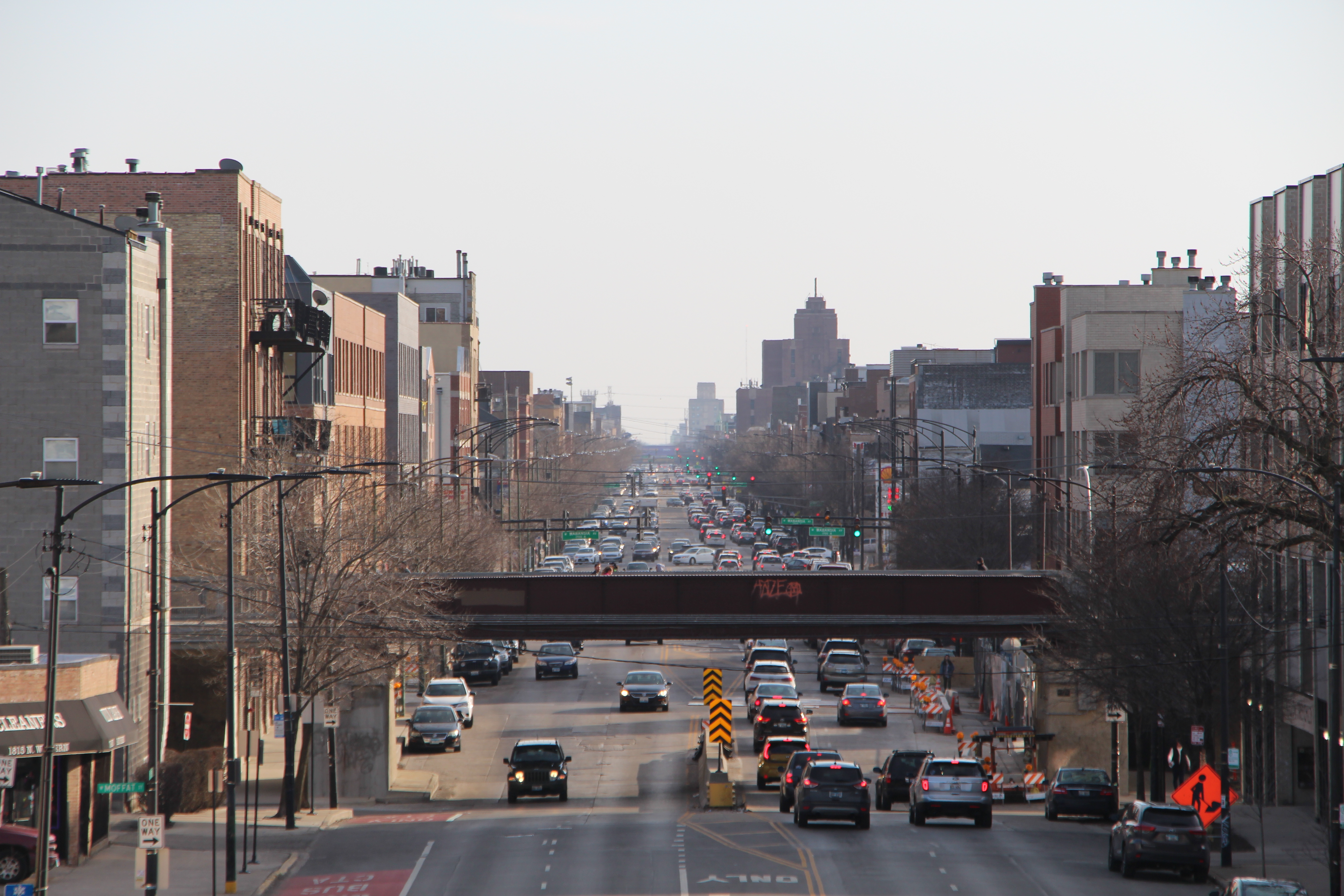
The view of Western from above. Christopher Silber, 14 East.
Day 3
West Town
It’s cold but sunny on this Friday morning on February 28 as I arrive where I left off. I have a lot of ground to cover today.
Almost immediately south of Milwaukee I head into the community of West Town. West Town’s northern boundary is Bloomingdale Avenue, the site of the 606 trail. I briefly go up on the 606 to get a view of the street, and get a great view of the apartment construction occurring right on the trail.
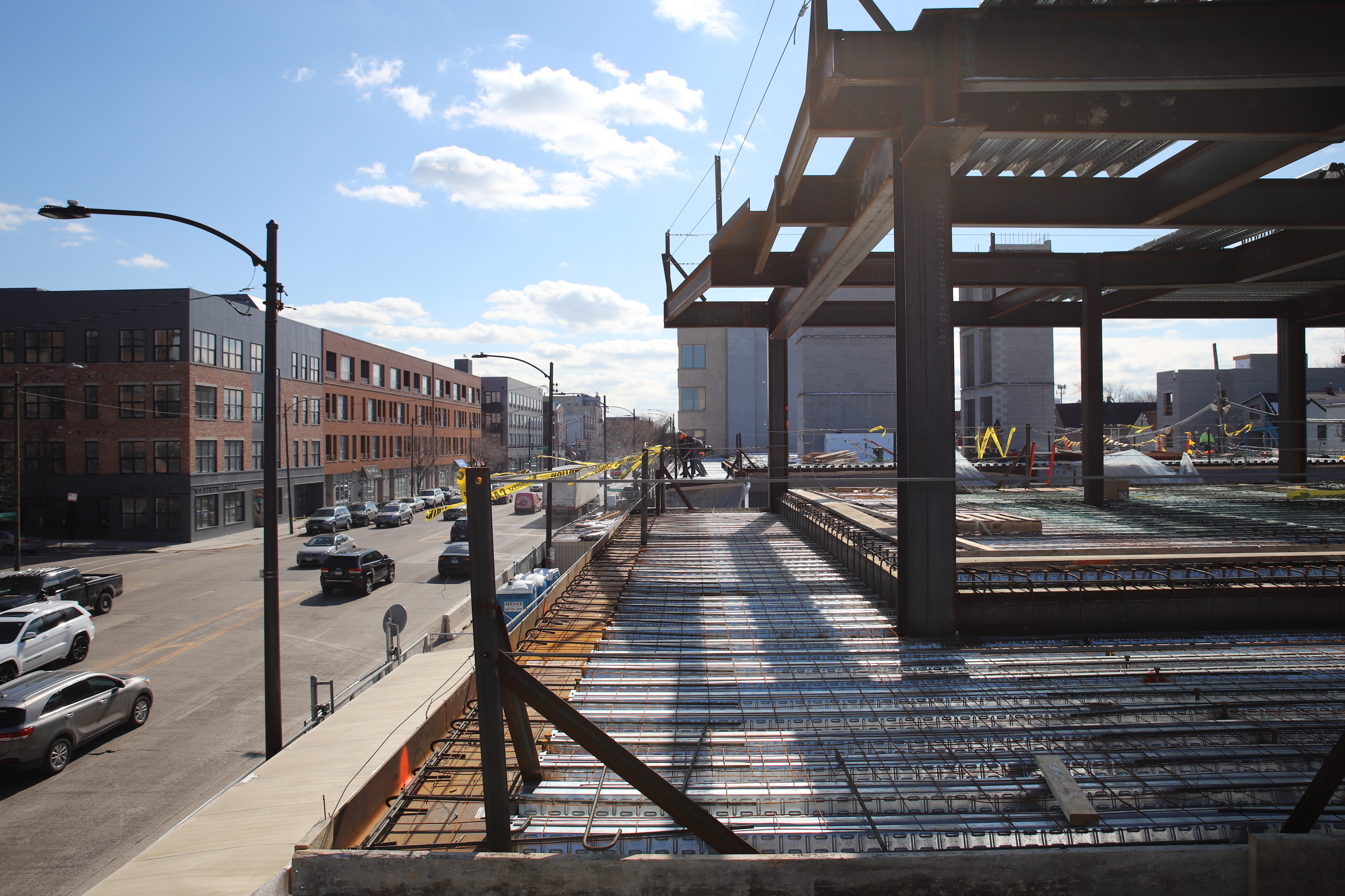
A few construction workers stand on top of a new project just south of the 606. Christopher Silber, 14 East.
I get sprayed with a bit of snow knocked loose by the construction equipment as I pass under the buildings. This section of Western has seen a lot of recent development. It’s not a rare sight to see a 115-year-old home sandwiched between two brand new buildings.
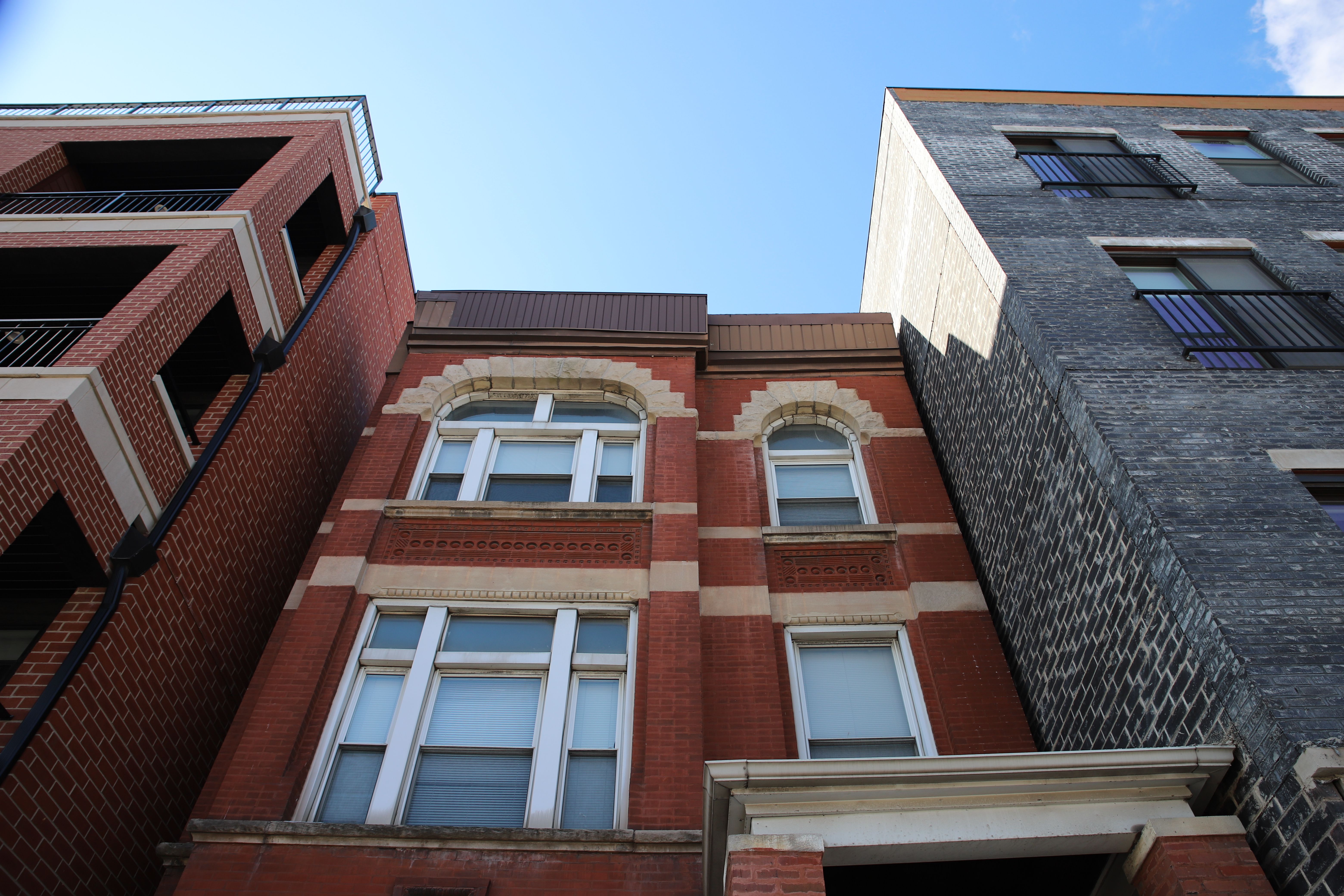
The old and the new: From left to right, the buildings pictured are respectively four, 117 and zero years old, according to the Cook County Assessor’s Office. Christopher Silber, 14 East.
The community is bustling this morning despite the cold temperatures, and I see several cyclists weaving among the cars and pedestrians at street intersections.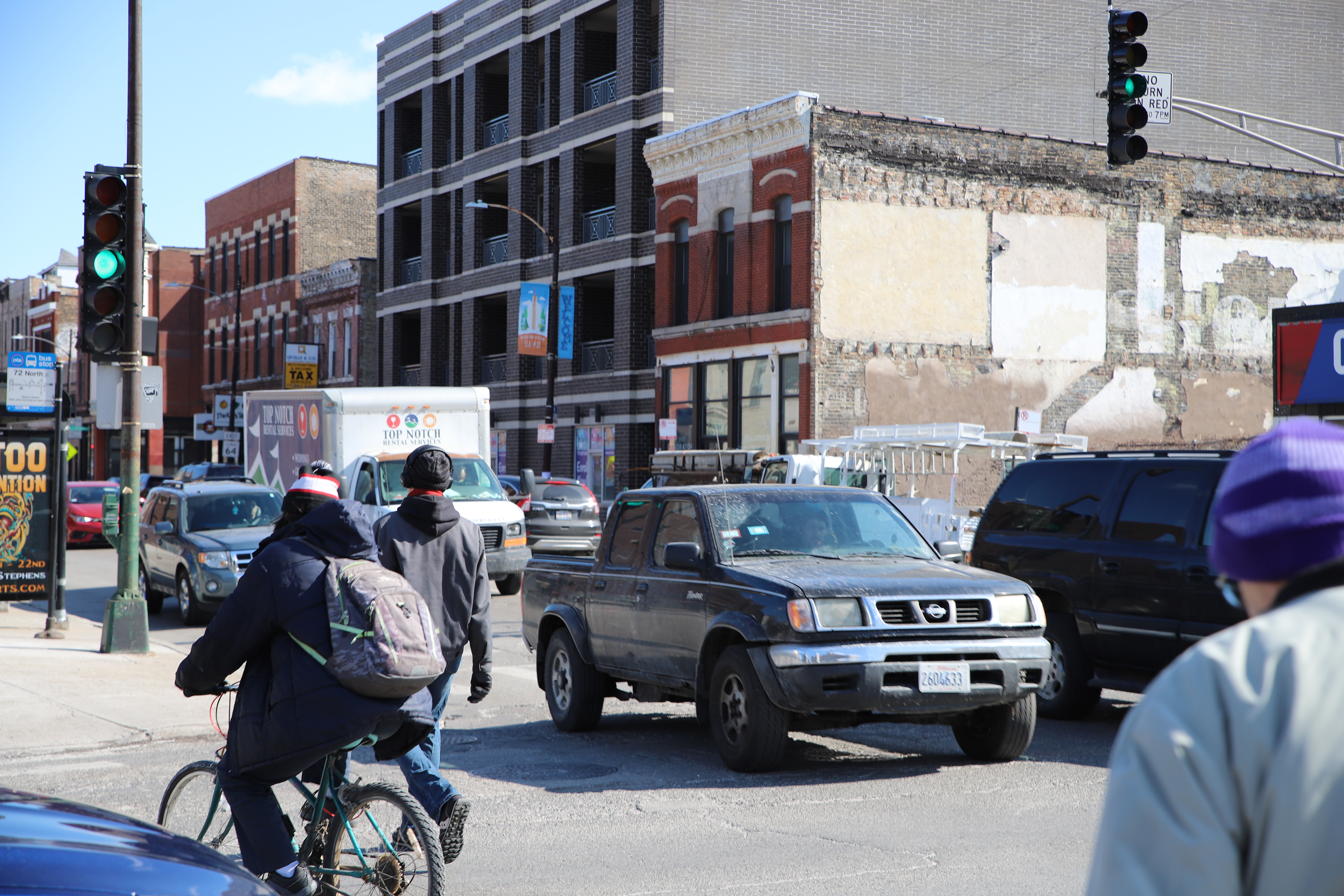
People travel along a busy street at the corner of Western and North avenues. Christopher Silber, 14 East.
I pass Saint Elizabeth Hospital to my left, and look down at the sidewalk below me.
If you ever pay attention to manhole covers in the city, you might notice that they come in many different designs. Throughout the city covers still have the initials “CWW” for Chicago Water Works, a city department that has been replaced by the Department of Water Management (with a new manhole cover acronym: CDWM). Some of the covers on this section of Western Avenue have a font that I have never seen before. The letters are thick and serifed.
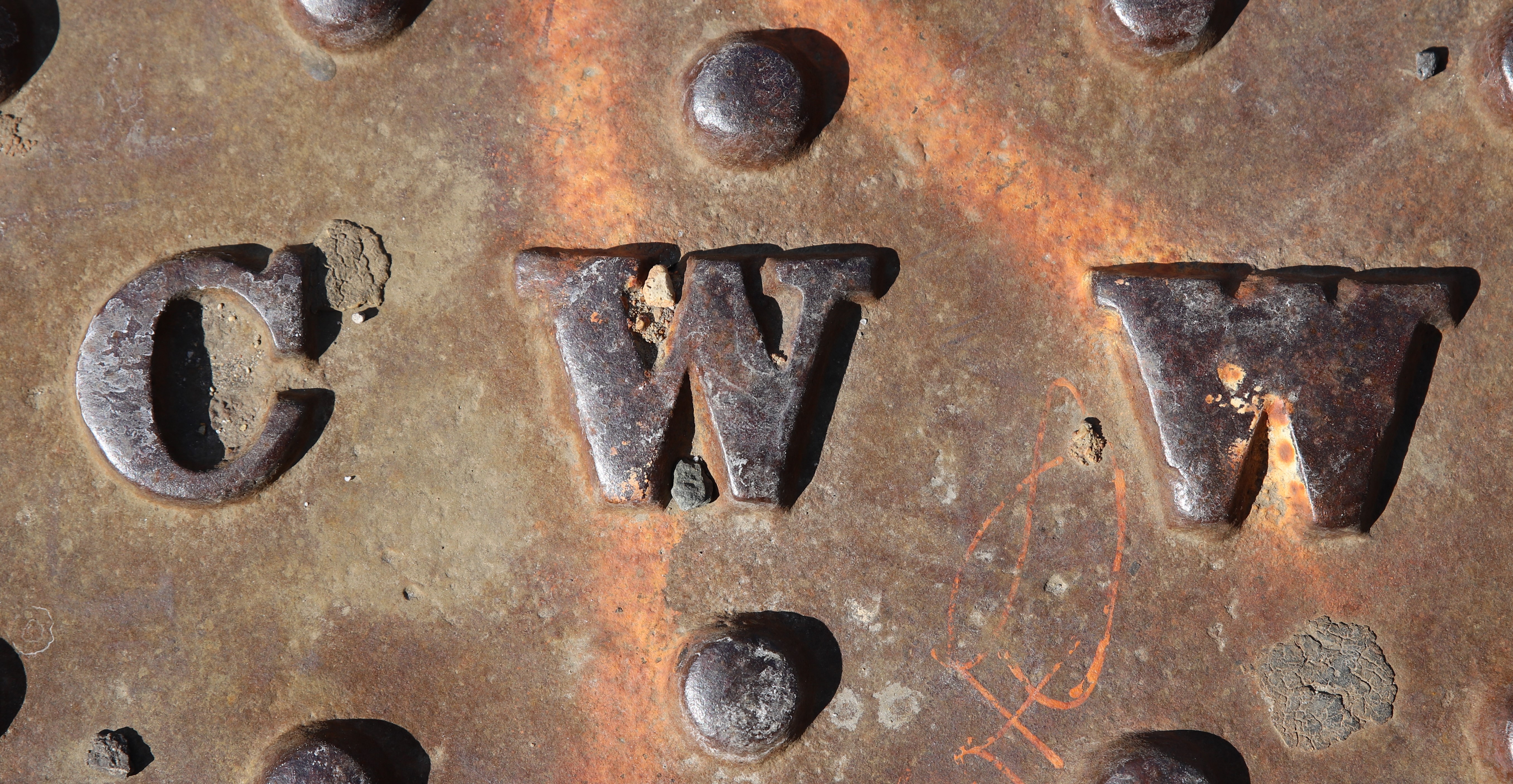
A close-up of an interesting manhole cover near Western Avenue and Hirsch Street. Christopher Silber, 14 East.
I pass Roberto Clemente Community Academy and its large baseball field. It has a good view of the skyscrapers in River North. The school, which was renamed after the famous Puerto Rican baseball player in 1974, has been a center of Puerto Rican education and activism in Chicago for decades.
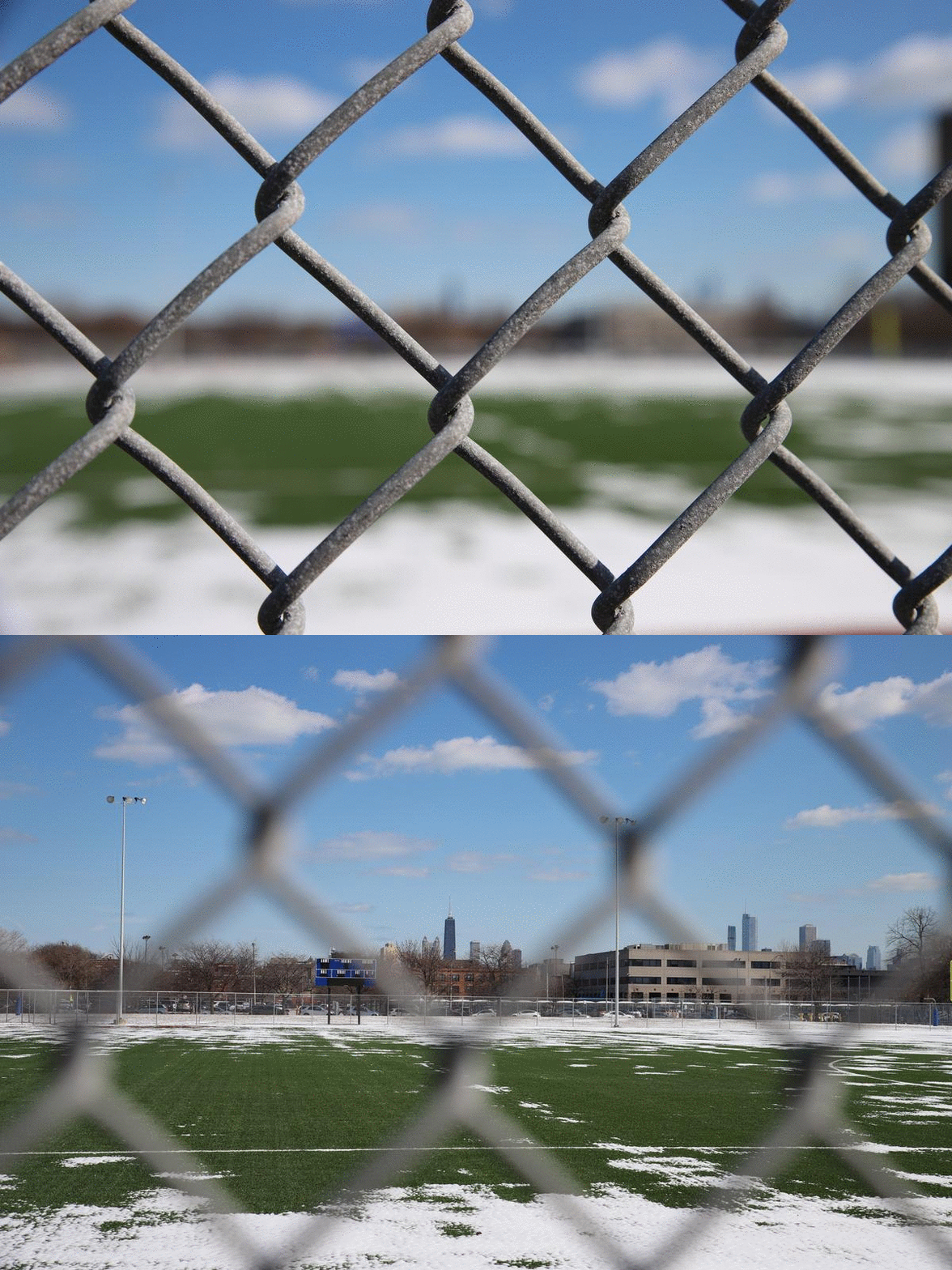
he view from the baseball field at Roberto Clemente Community Academy. Christopher Silber, 14 East.
The school rests on Division Street just east of the street strip Paseo Boricua, an area that lies at the heart of Puerto Rican culture in Chicago. Considered an important extension of the Humboldt Park community, the street section has a famous Puerto Rican flag sculpture facing Western Avenue that acts as a gateway.
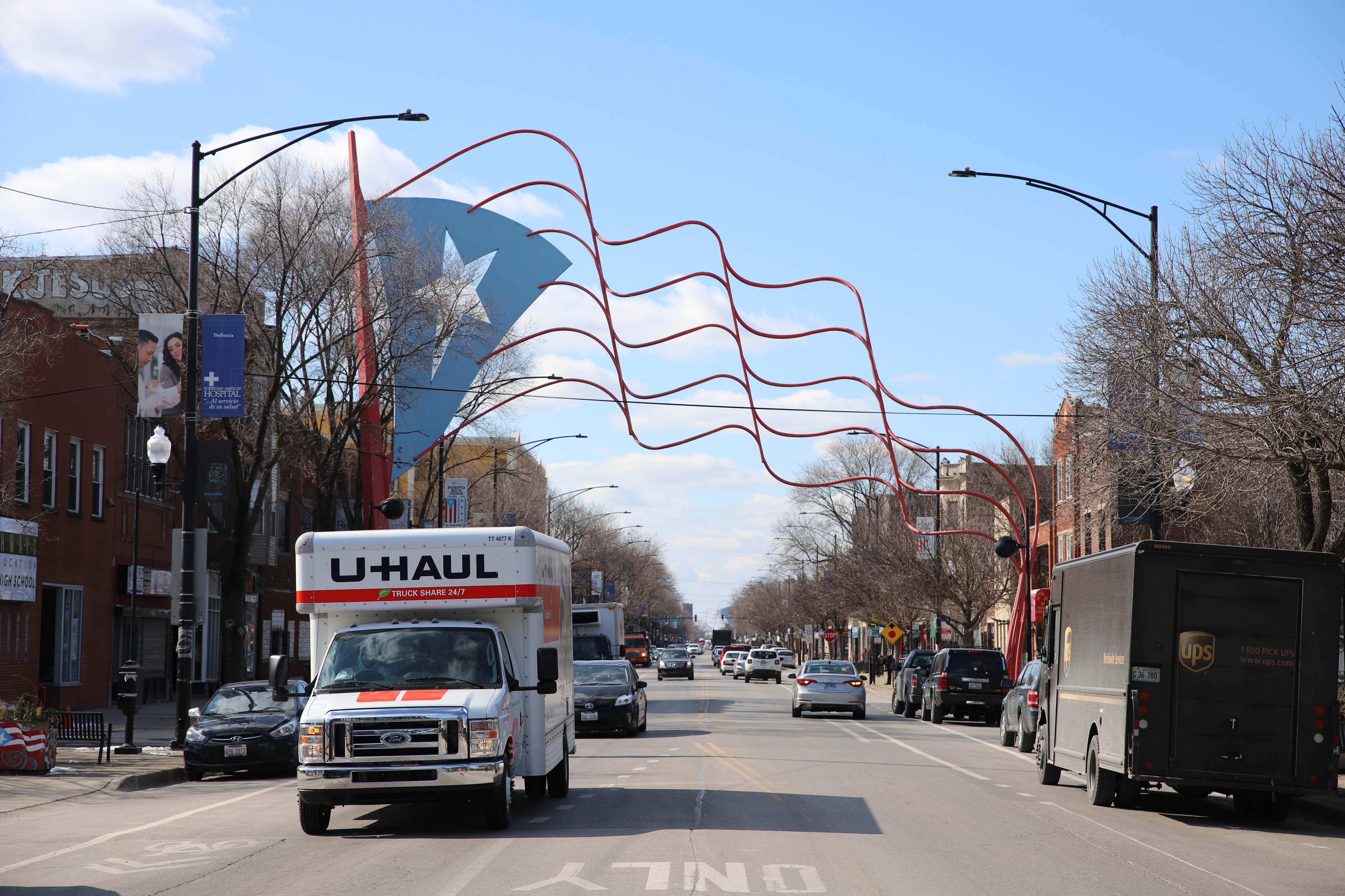
The Eastern Flag Sculpture faces Western Avenue on Division Street. A similar sculpture on the west side of the street sits just west of California Avenue. Christopher Silber, 14 East.
I enter the western section of Ukrainian Village after Division Street, home of the Ukrainian National Museum of Chicago and a center of the city’s Ukrainian culture. I run into a Lakeshore Beverage employee waiting outside Stella’s Tap on the intersection with Walton Street. He’s waiting to unload beer at the bar for the weekend, and jokingly asks if I want a 12 pack. There’s something very “Chicago” about the Old Style and Pabst Blue Ribbon boxes stacked on the street.
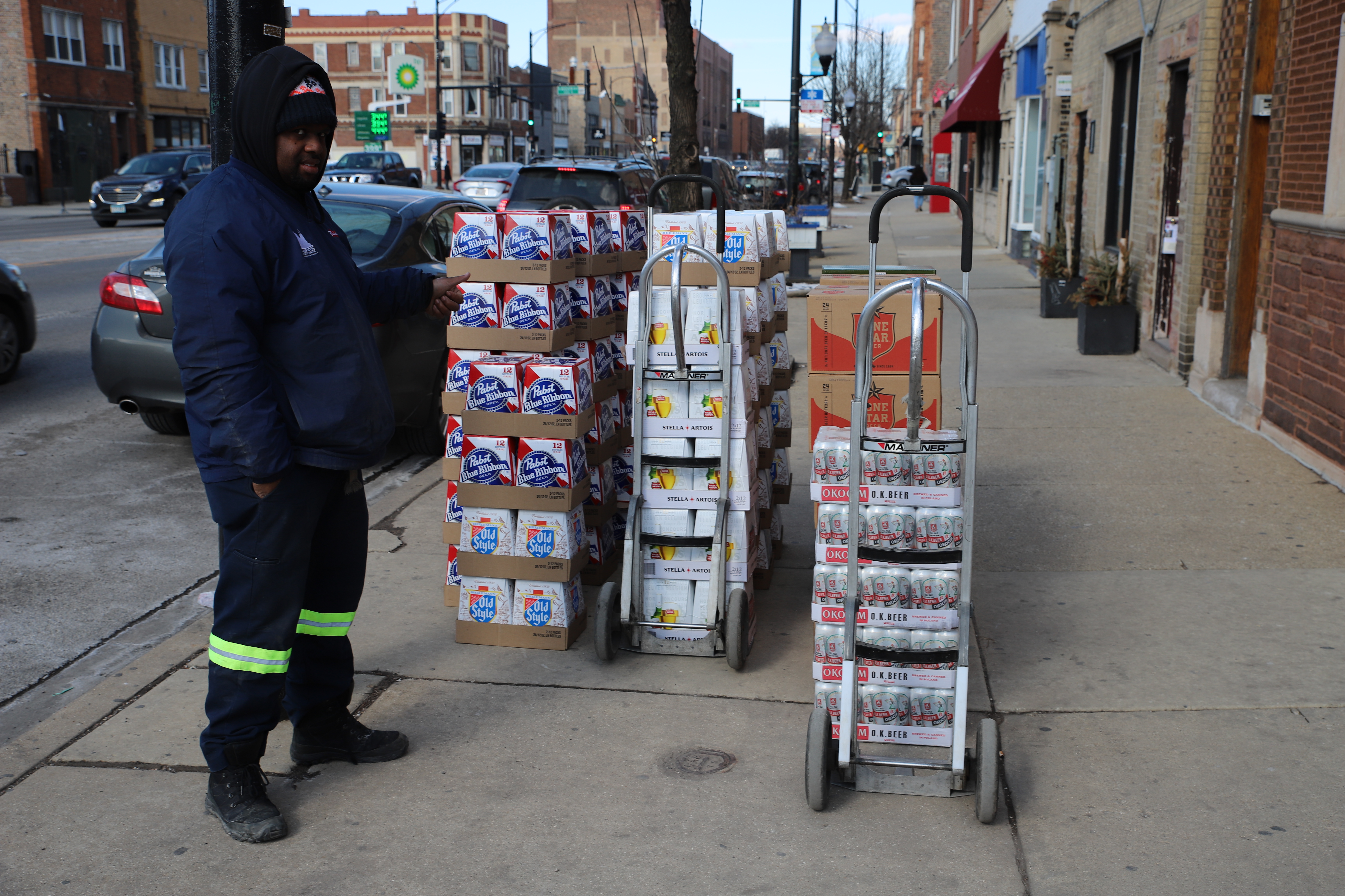
A Lakeshore Beverage employee shows off the beer he’s about to unload. Christopher Silber, 14 East.
Ukrainian Village also contains a broader relevance to Eastern European culture in the city. As I walk around just after Ash Wednesday, I notice signs for Polish pączki, a Fat Thursday and Fat Tuesday culinary staple.
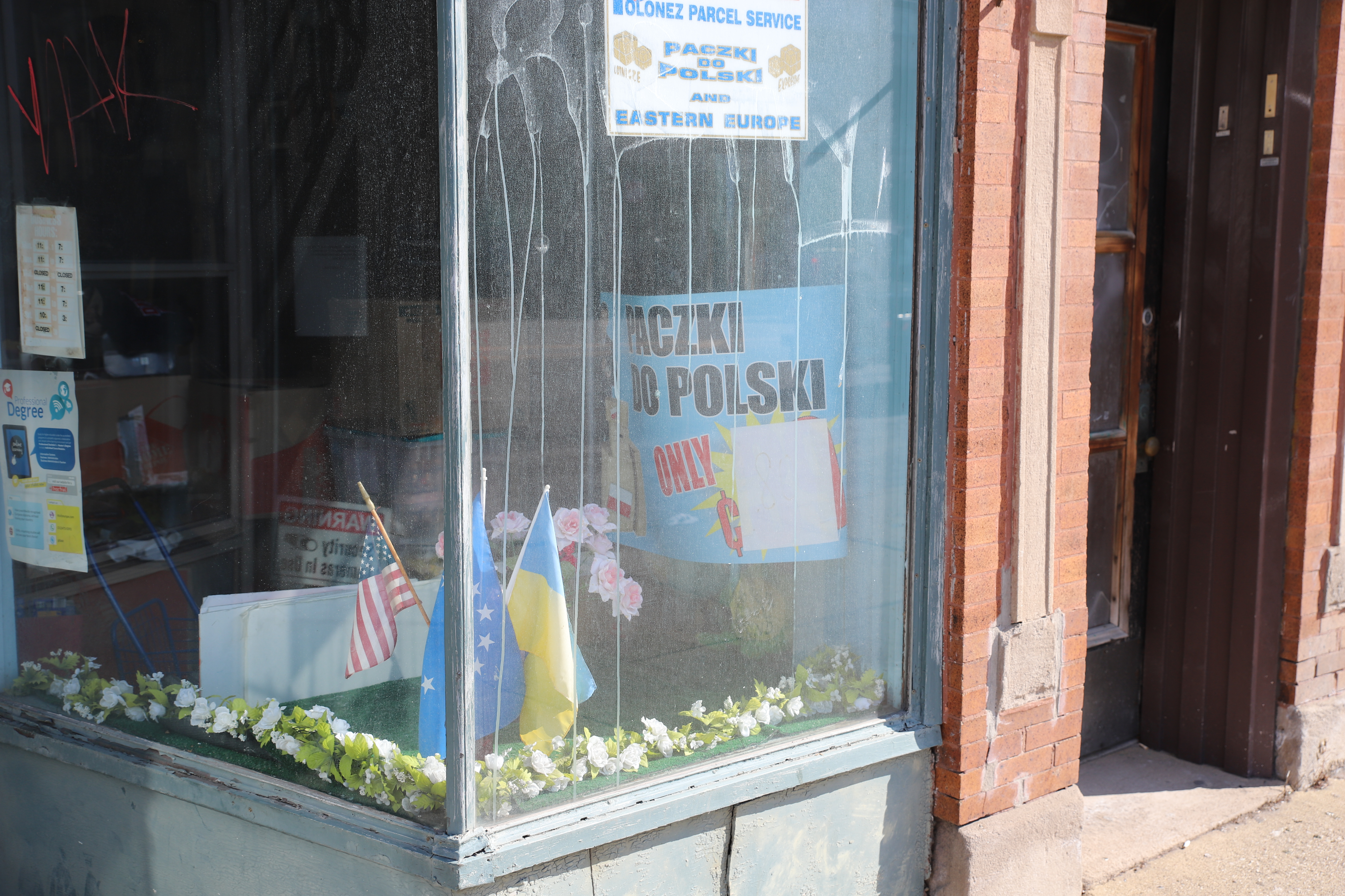
Pączki signs reflect light off the street in the display window for the Northwestern Travel Bureau. Christopher Silber, 14 East.
Across the street, the site that once held the iconic neon sign-adorned Car Town dealership lies demolished. Condos will likely be built in its place. As I head south I start seeing more car dealerships.
I see Holy Rosary Catholic Church. Its cornerstone is dated July 10, 1905.
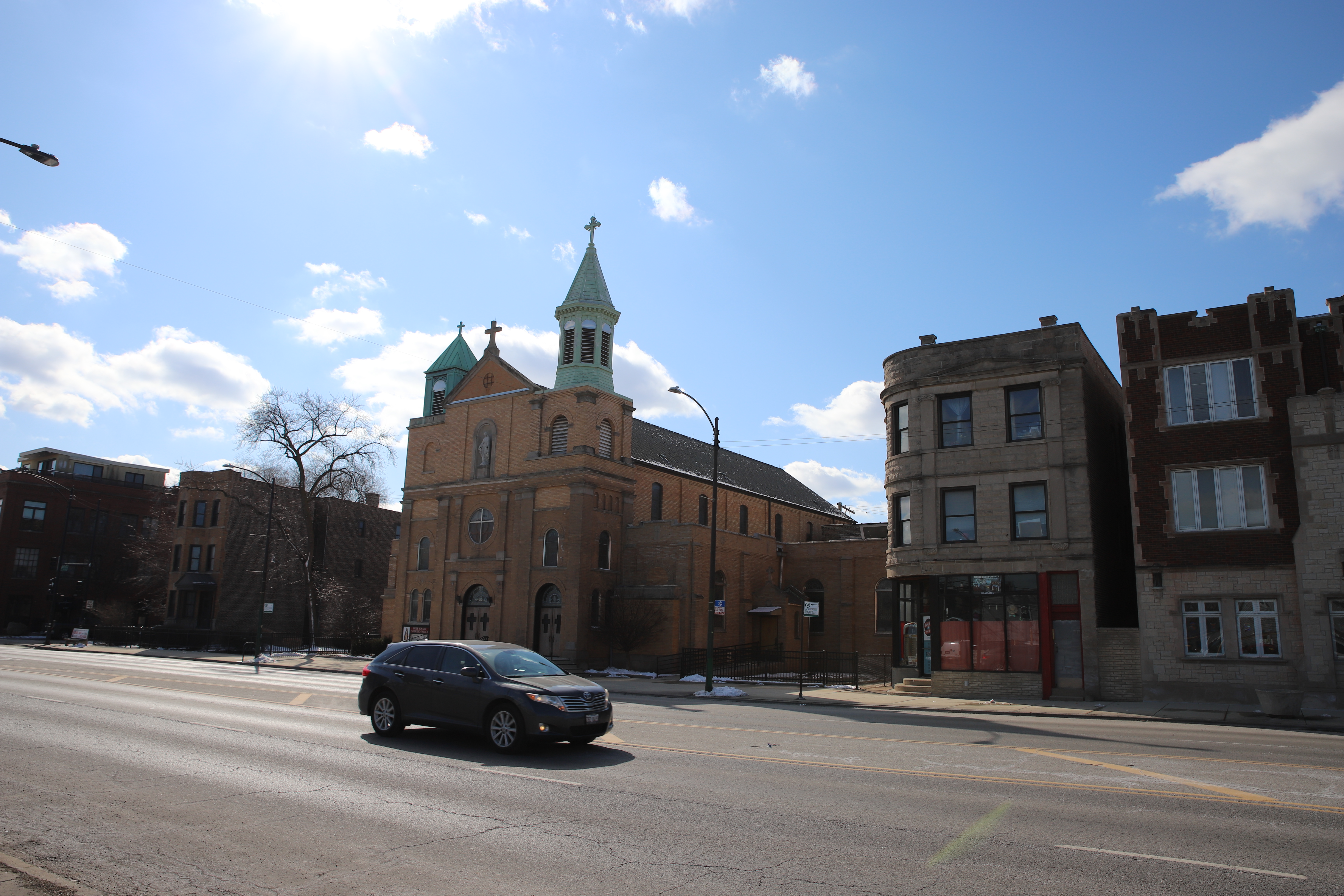
Snow clings to the roof of Holy Rosary Catholic Church. Christopher Silber, 14 East.
I go under the bridge for the first of two Western Avenue Metra stations and enter the Near West Side.
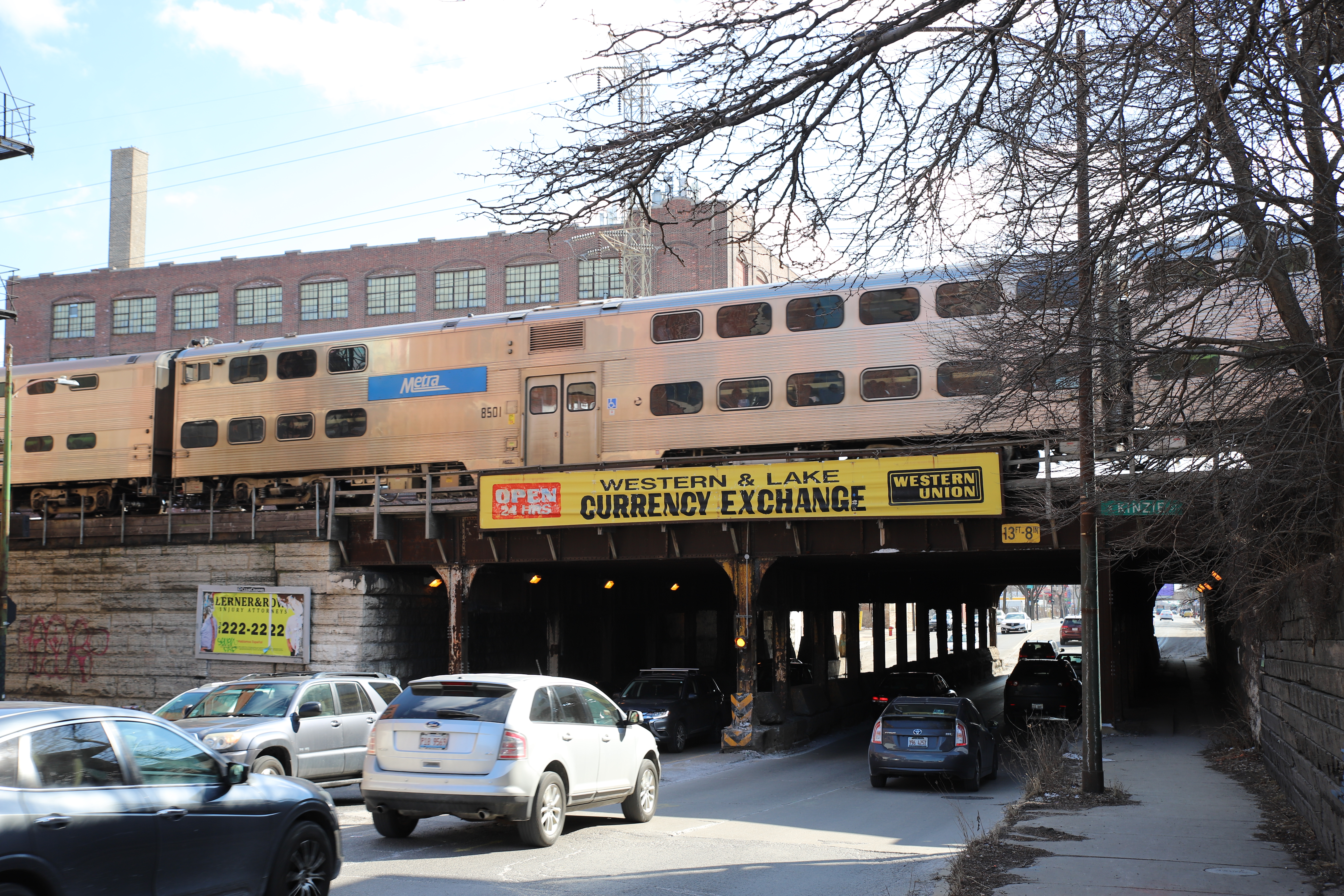
A Metra Train runs on the Western Metra tracks at Kinzie Street. Christopher Silber, 14 East.
Near West Side
The Near West Side is home to the West Loop, United Center, UIC and Little Italy, among other notable sites. I go under the Lake Street ‘L’ tracks which carry the Green Line West to Harlem. The Green Line is the only line that goes over Western Avenue but doesn’t have a station on the street.
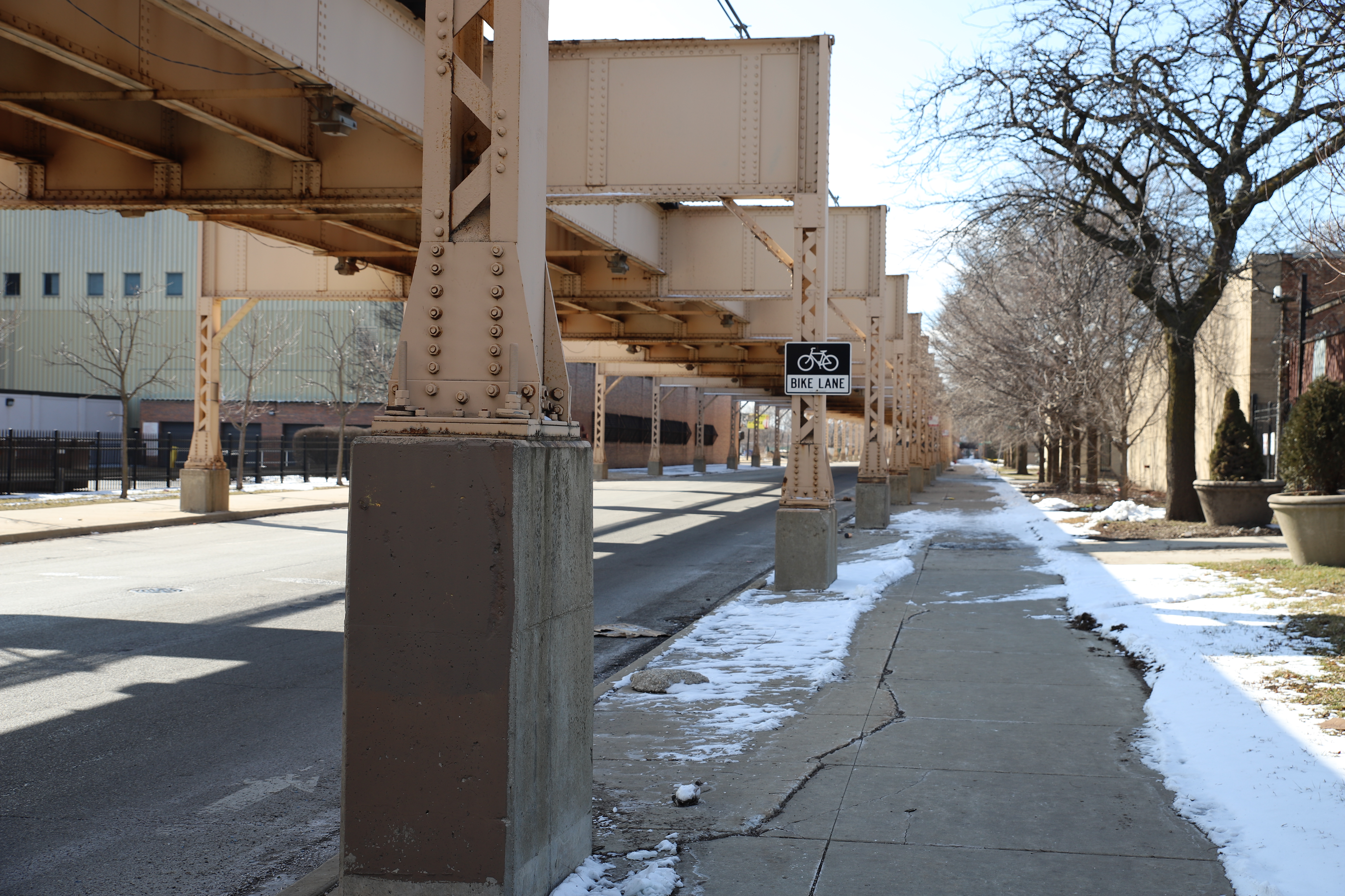
A bike lane sign hangs under the Lake Street Green Line tracks. Christopher Silber, 14 East.
This section of Western Avenue is not as dense as West Town or Logan Square. I pass the Illinois Department of Juvenile Justice Youth Center-Chicago, a medium-security, all-male juvenile detention center.
The streets now fill with students getting out of class at Phoenix Military Academy. Crossing guards stand at a few of the intersections I walk past. This part of Western Avenue is on the Academy’s Safe Passage Route. From about this point, the street signs change from “N WESTERN” to “S WESTERN,” and I officially enter South Western Avenue, the second half of my journey.
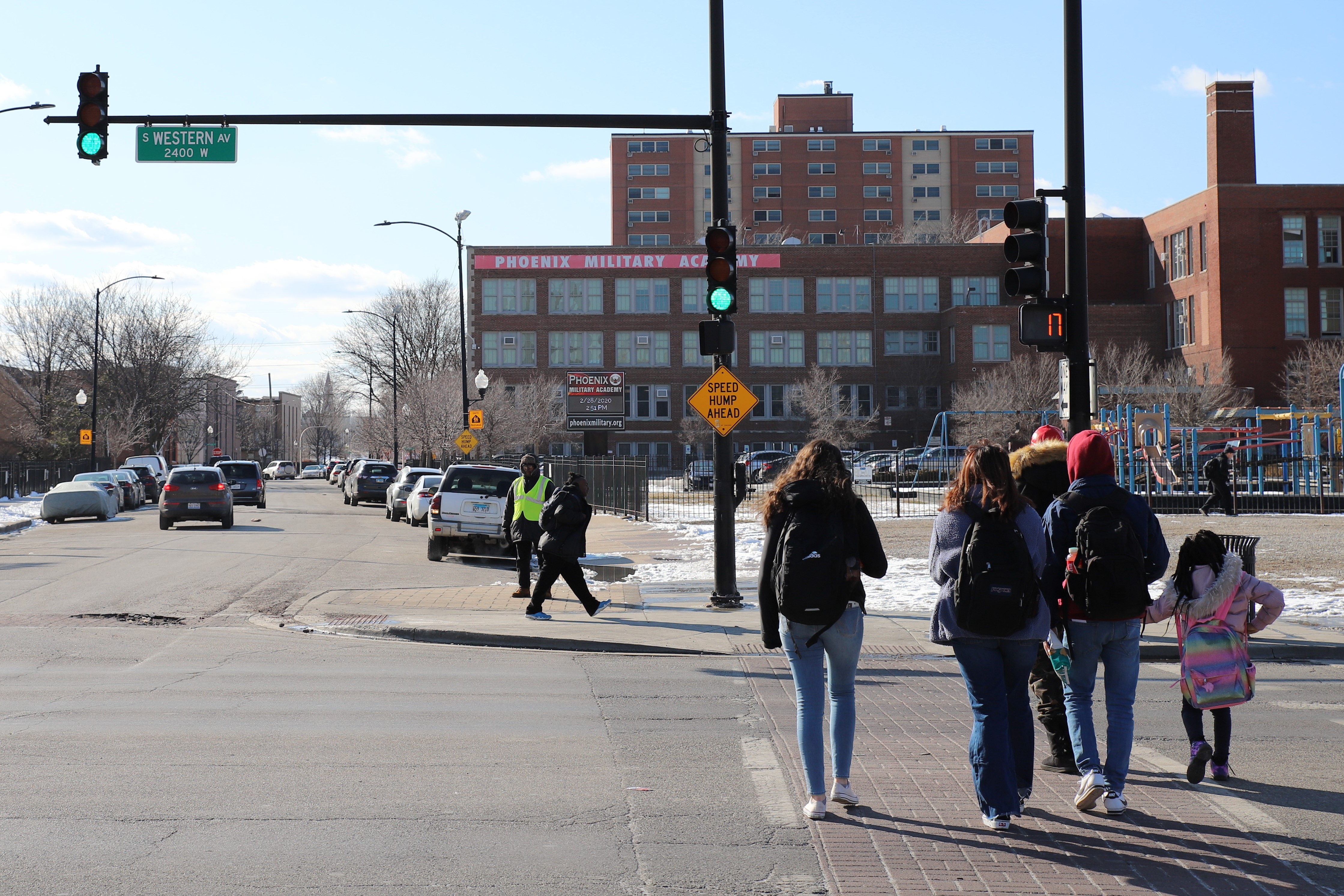
A crossing guard stands outside Phoenix Military Academy as students and parents cross Western Avenue. Christopher Silber, 14 East.
The second Western Blue Line Station sits in the middle of Eisenhower Expressway, somewhat like an island engulfed in a sea of asphalt. Of course, the community didn’t always have a large highway running through it, and the area used to look quite different than today. An estimated 13,000 people were displaced by the expressway’s construction between 1949 and 1961. Of the neighborhoods Eisenhower went through, the Near West Side had the largest Black population.
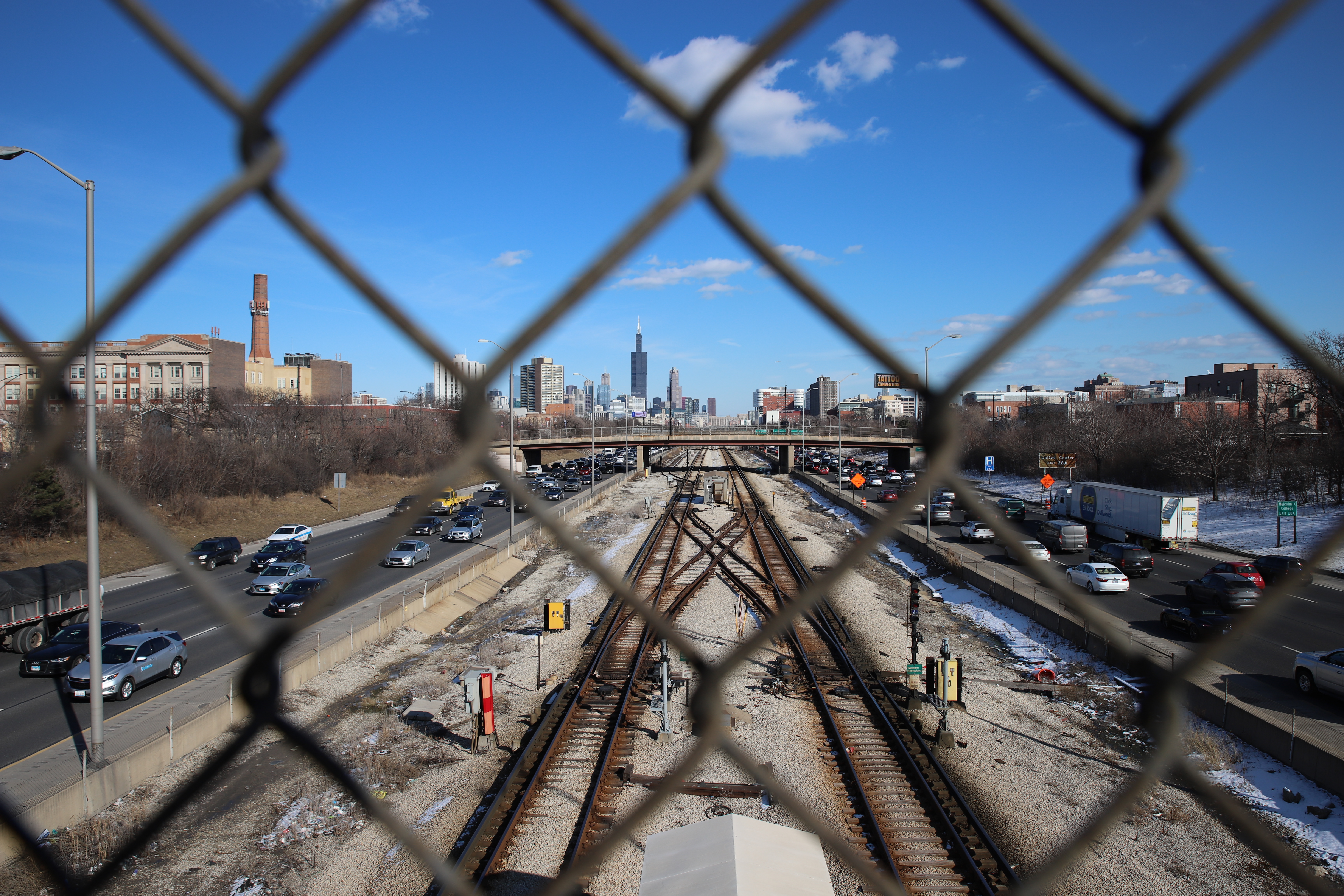
The Blue Line Tracks thrust toward the Loop, surrounded by the Eisenhower Expressway. Christopher Silber, 14 East.
Just past the expressway I see a mural outside Johnna’s Cafe. This part of the near West Side is typically referred to as the Tri-Taylor Neighborhood, and it sits just west of Little Italy and the Illinois Medical District.
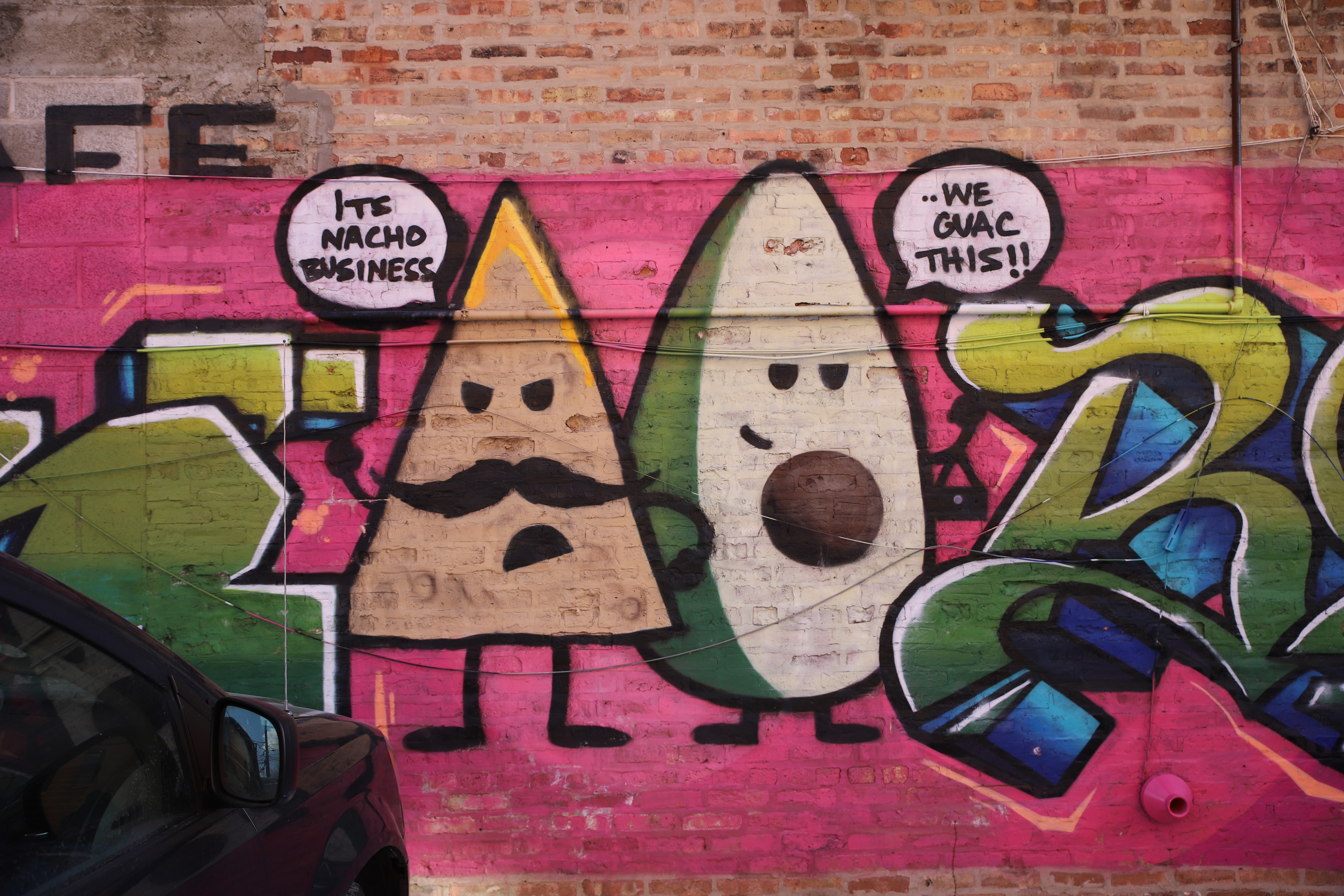
Food puns adorn the brick wall outside Johnna’s Cafe. Christopher Silber, 14 East.
The street is lined with mostly small businesses and a small park. The auto-related shops increase again along the strip, and a dancing neon sign catches my eye at G & R Auto Corp.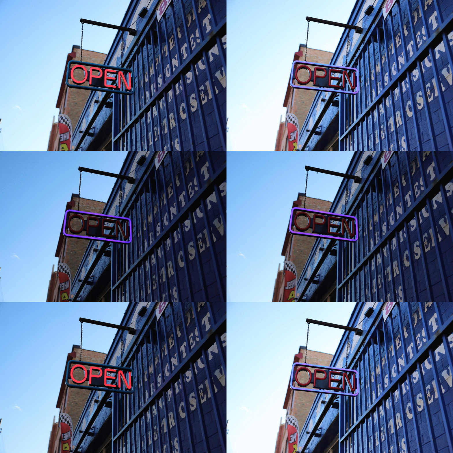
The wind blows against the flashing “OPEN” sign at G & R Auto Corp. Christopher Silber, 14 East.
At this point, I’ve been walking for a while, and my dragging feet begin to notice the bumps and gaps in the sidewalk. The shining sun still won’t dissipate some slick patches of snow. I notice a particularly rocky walkway just before the Union Pacific Railroad overpass.
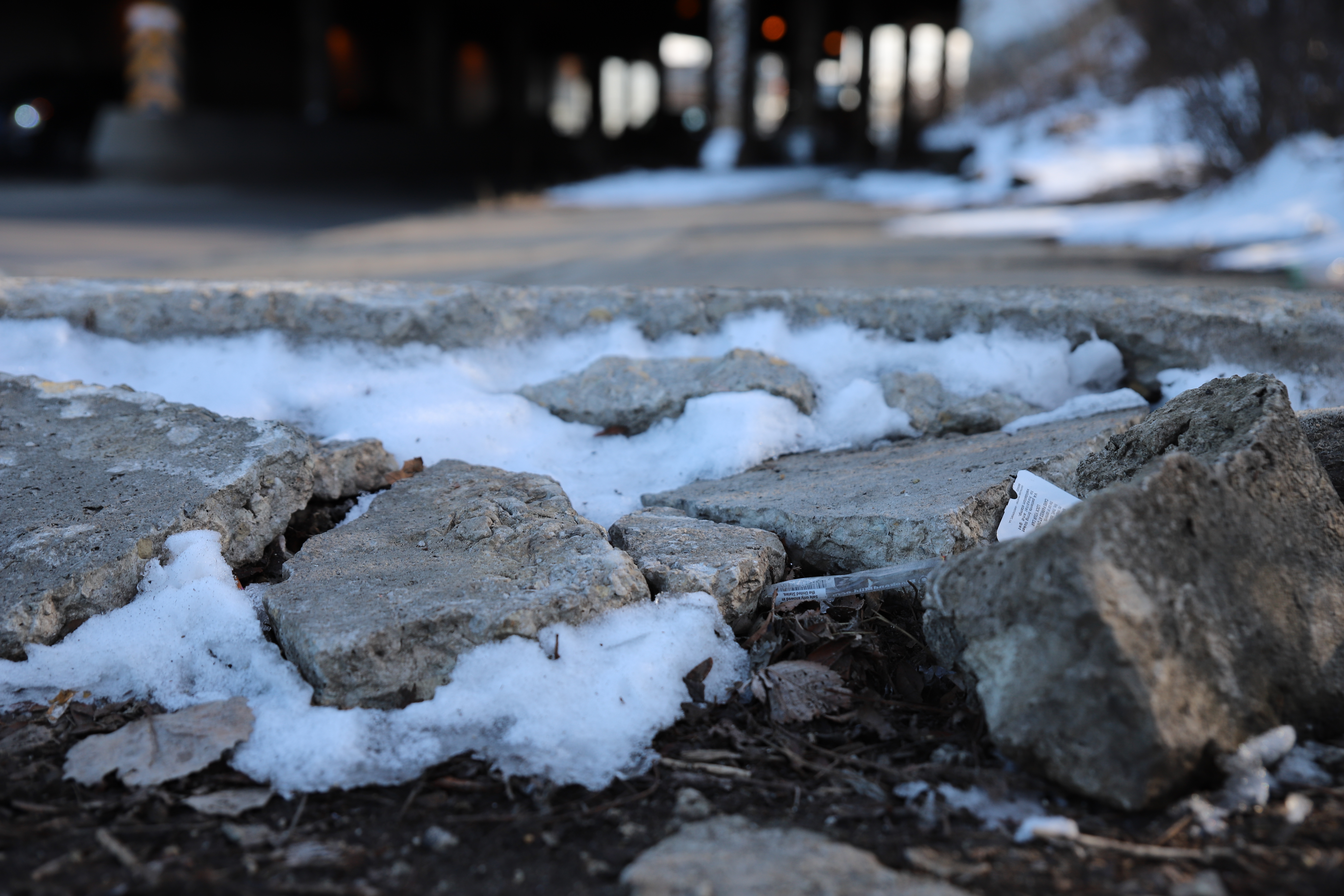
A bump in the sidewalk threatens toes near 13th Street. Christopher Silber, 14 East.
This area is the first truly industrial section of Western Avenue that I pass through. Large warehouses and the Global I Union Pacific intermodal terminal line the street. I’m still relatively close to the Loop, and view the skyline over the rail yard.
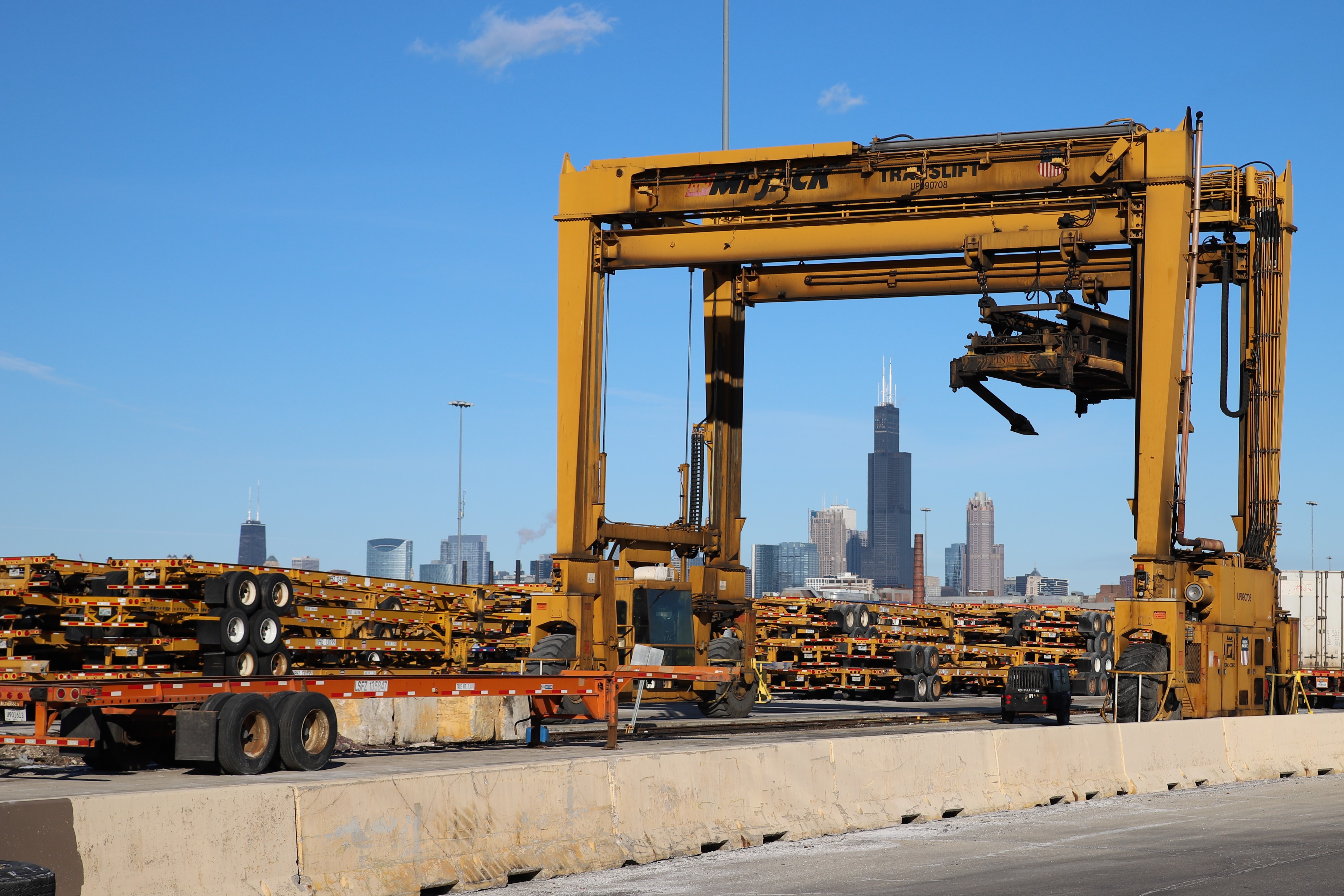
From the perspective of Western Avenue, Willis Tower shrinks under the Union Pacific terminal equipment. Christopher Silber, 14 East.
Just off the avenue I spot the entrance to Cinespace Chicago on 16th Street. The gateway also marks the border of the Near West Side and North Lawndale, where the film studio has had a complicated relationship with local residents.
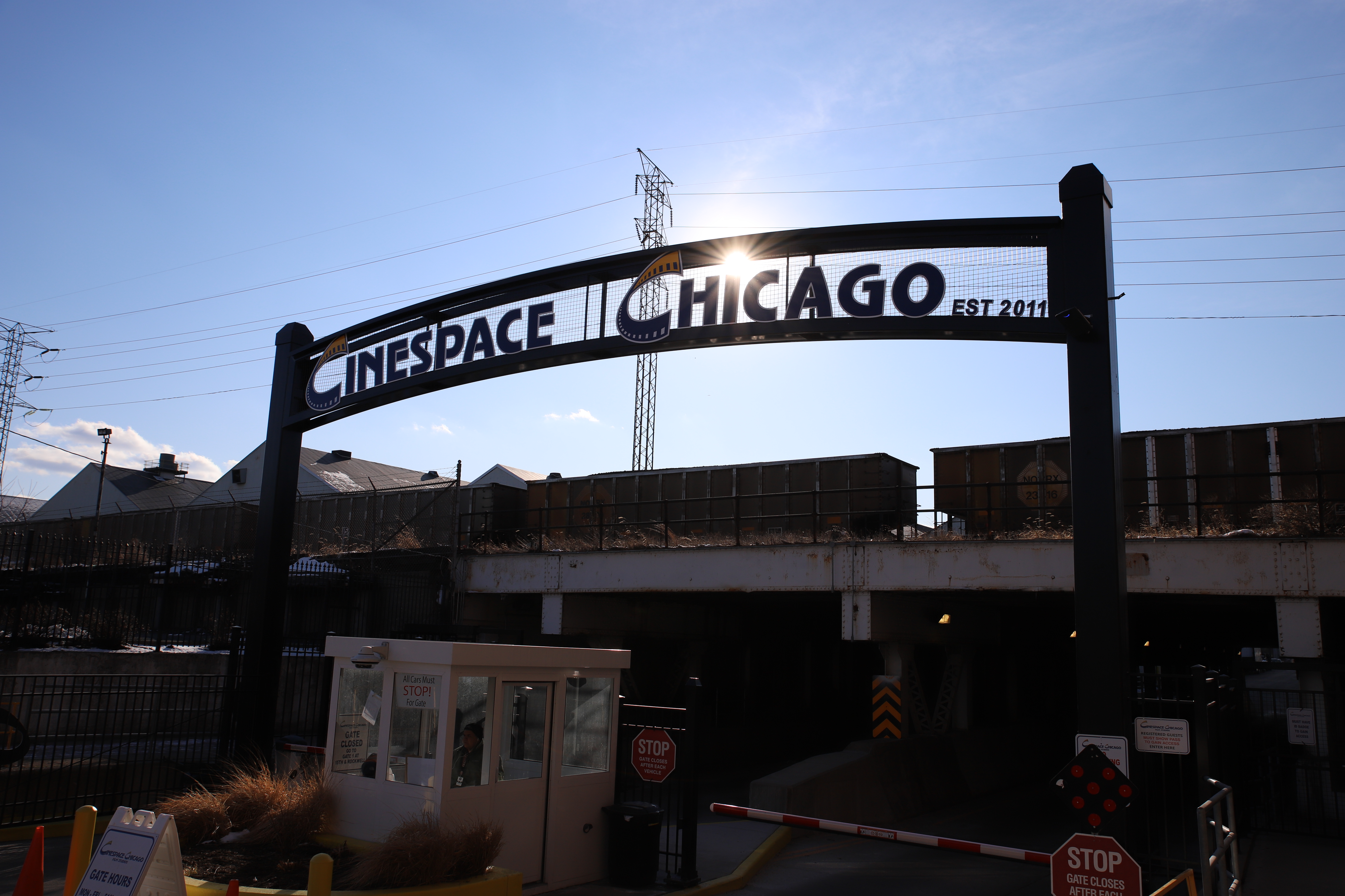
The sun kindly dots Chicago’s “i” on the Cinespace sign on 16th Street. Christopher Silber, 14 East.
Lower West Side
I go under the second Western Avenue Metra Station on 18th Street and enter the Lower West Side. A few blocks south I find the Western Pink Line Station. While the station was originally built in 1896 as a stop on the ‘L’s Douglas Park branch, which became part of the Blue Line, it looks newer — the station was renovated in 2002 and 2004. This branch of the ‘L’ became part of the Pink Line in 2006.
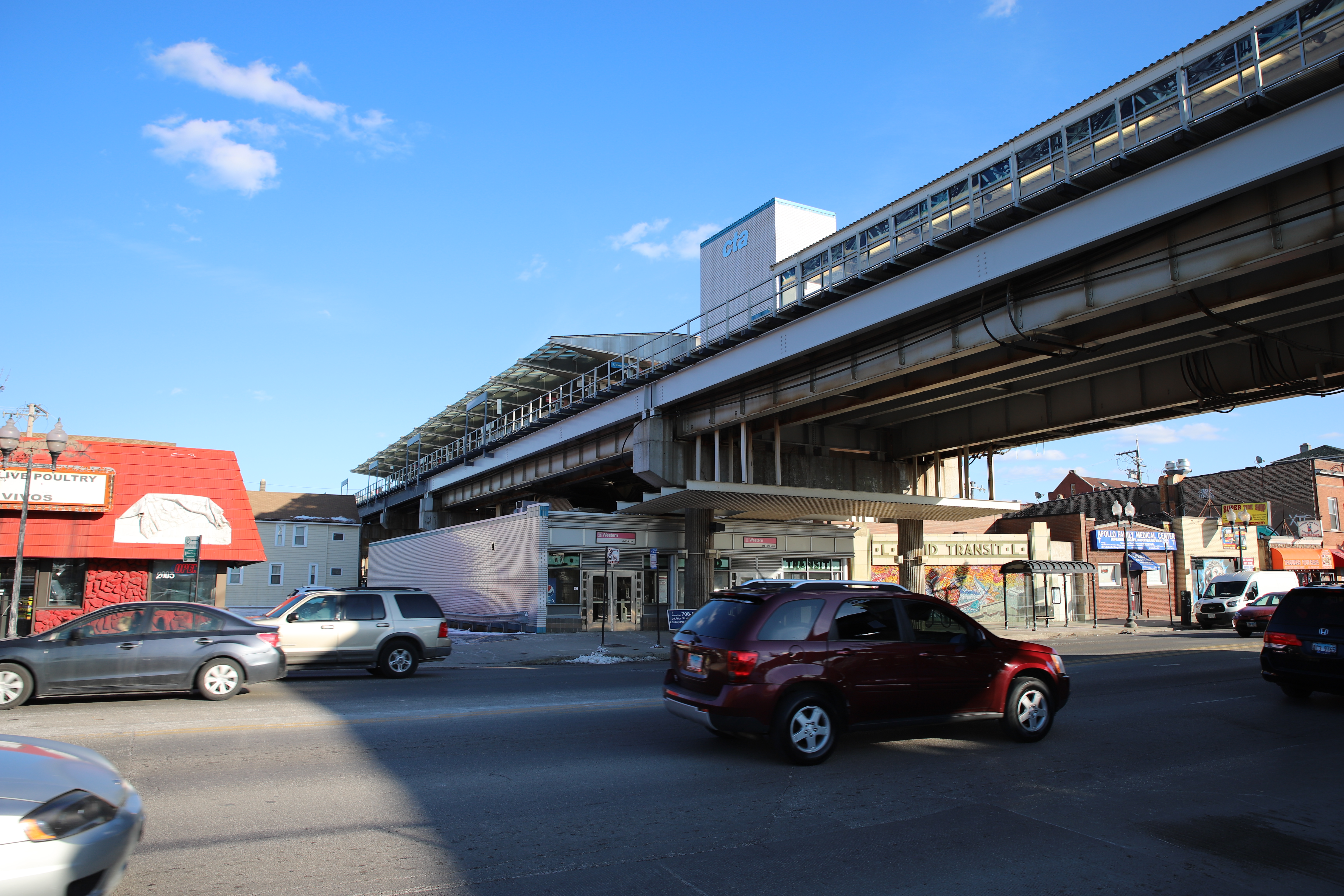
The Pink Line tracks stand over Western Avenue. Christopher Silber, 14 East.
The Lower West Side is predominantly Latinx, and holds the neighborhood of Pilsen to its east. Here, Western Avenue straddles the border of the neighborhoods Heart of Chicago and Marshall Square. The restaurant Donald’s Famous Hot Dogs, which is in The Vienna Beef Hot Dog Hall of Fame, lays in my path. Across the street is William F. Finkl Academy elementary school, one of the public schools supported by Chance the Rapper’s non-profit SocialWorks.
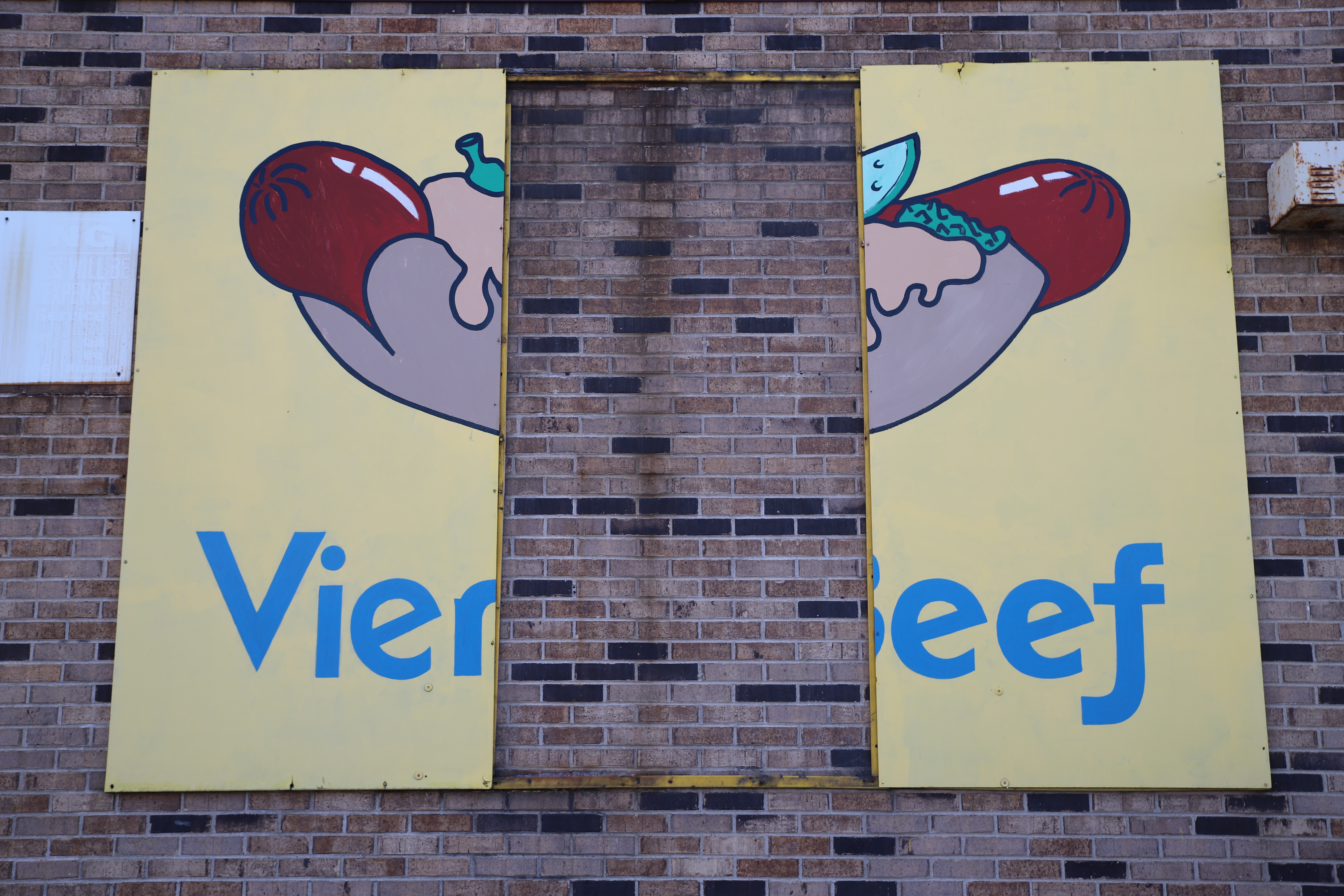
Two thirds of a Vienna Beef sign cling to the wall of Donald’s Famous Hot Dogs at 23rd Place. Christopher Silber, 14 East.
I head under more train tracks and walk by the Rauner Family YMCA, one of two Chicago YMCA locations south of the Loop.
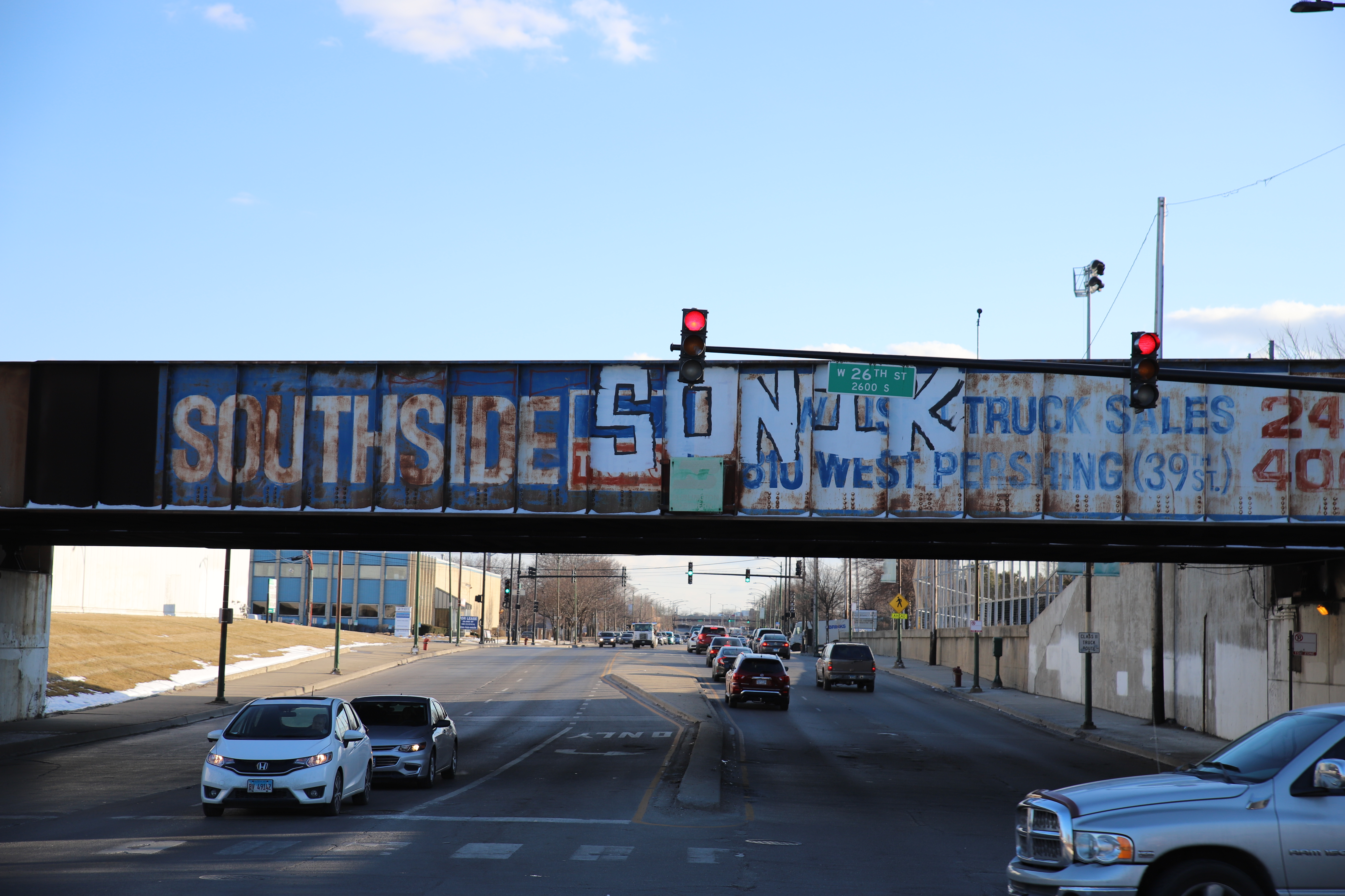
The word “SOUTHSIDE” from an old Ford advertisement remains as paint weathers on the bridge off 26th Street. Christopher Silber, 14 East.
The Arturo Velasquez Westside Technical Institute (AVI) runs along the avenue across from an Amazon delivery station. AVI is a satellite campus of Richard J. Daley College, and is named after Arturo Velasquez, the first Mexican American on the City Colleges of Chicago Board of Trustees.
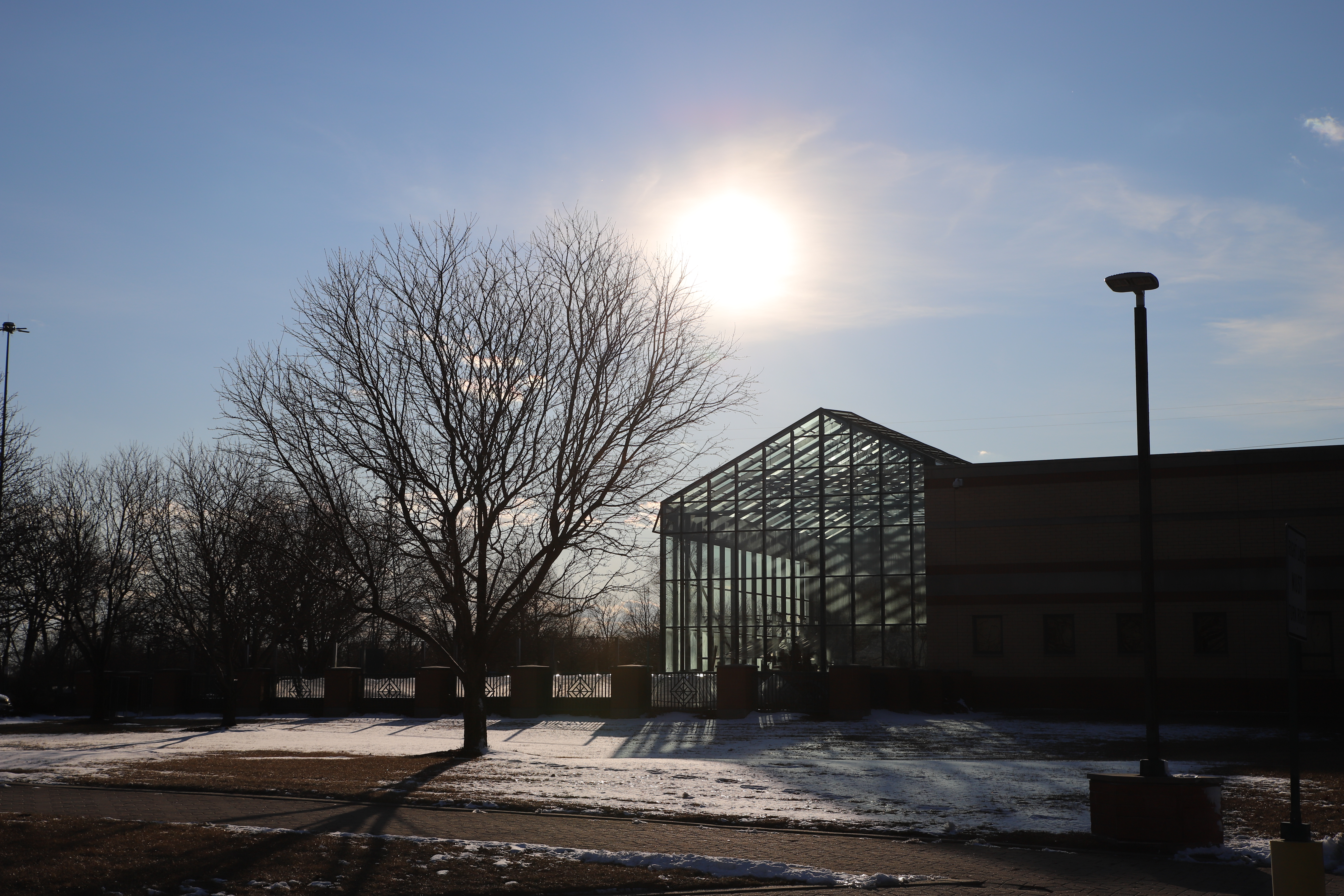
The setting sun brings light into the greenhouse at AVI near Western Avenue and 28th Street. Christopher Silber, 14 East.
The avenue goes over the South Branch of the Chicago River on a bridge constructed by the Federal Works Agency (FWA) during the Great Depression in 1940 in an improvement project for the coming stretch of South Western Avenue. While the bridge I stand on has Art Deco design elements, it looks out to the much more utilitarian Pennsylvania Railroad “Eight-Track” bridge, which was finished in 1910.
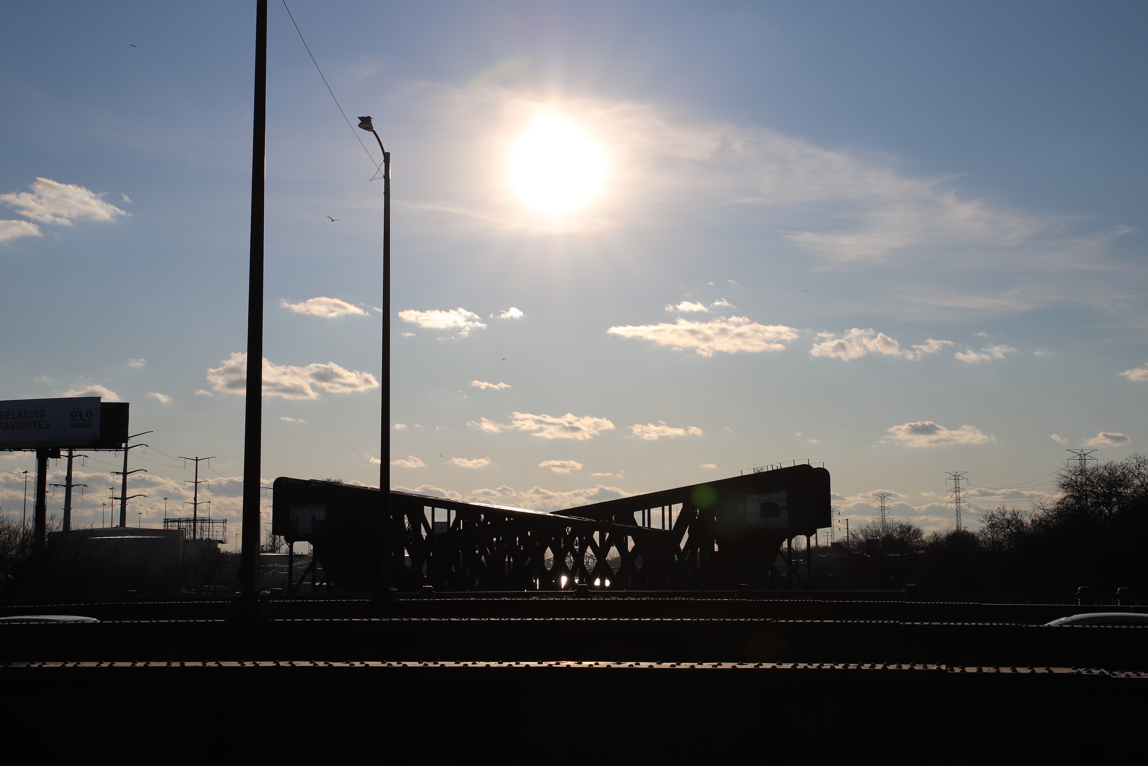
A few clouds drift across the sky over a few bridges on the Chicago River’s South Branch. Christopher Silber, 14 East.
I enter McKinley Park and navigate under three more bridges. The bridges constructed by the FWA on this stretch aren’t in the best shape. The superstructure of the South Branch bridge is in “Poor” condition, according to a Chicago Tribune report, and the concrete on a pillar of the bridge just south of 33rd Street is crumbling onto the sidewalk.
While not on Western Avenue, the 35th/Archer Orange Line stop is only a few blocks east of where I stand. After walking about six miles, I’m a bit tired, and I decide to stop for the day and head home.
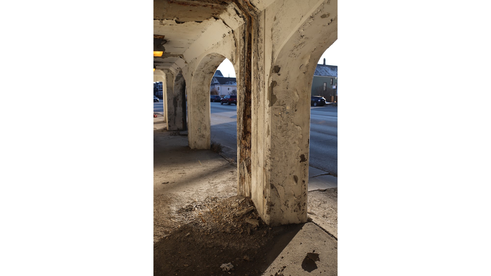
A pile of former bridge rests on the sidewalk on Western Avenue just south of 35th Street. Christopher Silber, 14 East.
Day 4
McKinley Park, Brighton Park and New City
It’s early on Sunday, March 1. I plan to take advantage of the abnormally warm day and walk the remaining 10.7 miles of Western Avenue in Chicago.
Early on, I see the Parisian Novelty Company building just south of 35th Street. The company, famous for making now-collectible buttons and vanity cases, moved into this factory in 1928, but abandoned the building when it was sold in 2008.
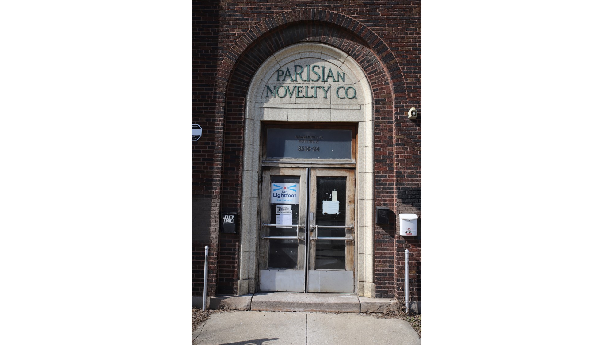
Grand lettering hangs above the entrance to the Parisian Novelty Company factory on Western Avenue and 35th Street. Christopher Silber, 14 East.
I pass McKinley Park. It was one of the first city parks to be purposely placed in an industrial location when it was designed in 1901, and became an important site for social services and green space near the Union Stockyards. The area is still industrial, but recently McKinley Park residents have protested some of the area’s worst polluters.
The bridge at Western Avenue and Pershing Road marks the corner of three community areas: McKinley Park, Brighton Park and New City. I walk along the border of the latter two for a little over a mile.
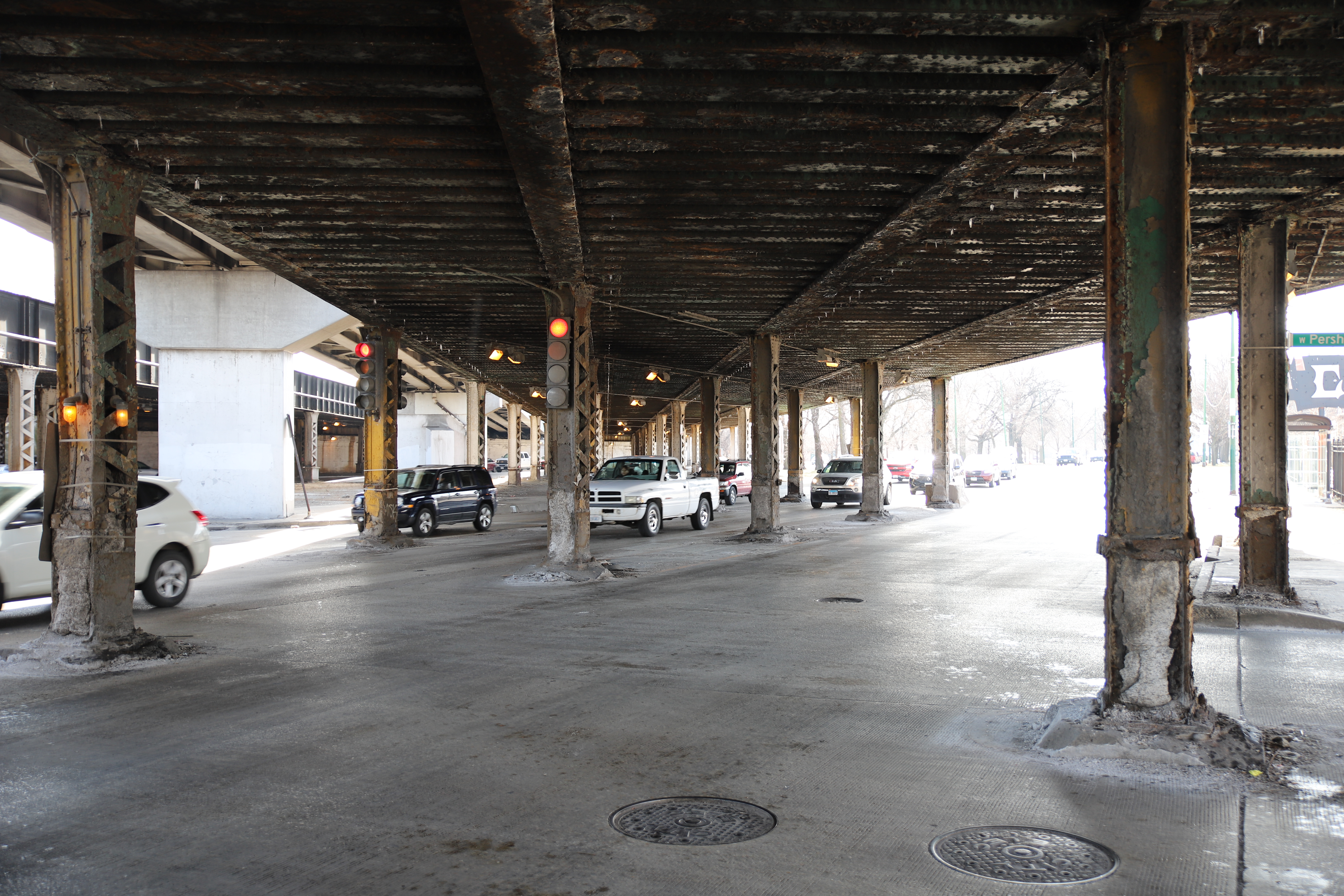
Cars flow through a maze of pillars at Western Avenue and Pershing Road. Christopher Silber, 14 East.
On the eastern side of Western Avenue, a large strip of grass and trees separates the avenue from a parallel road, Western Boulevard. The interesting road setup occured because of how the city used to designate different uses of avenues and boulevards. Today, the boulevard holds mostly industrial plants while Western Avenue in this area is commercial and residential.
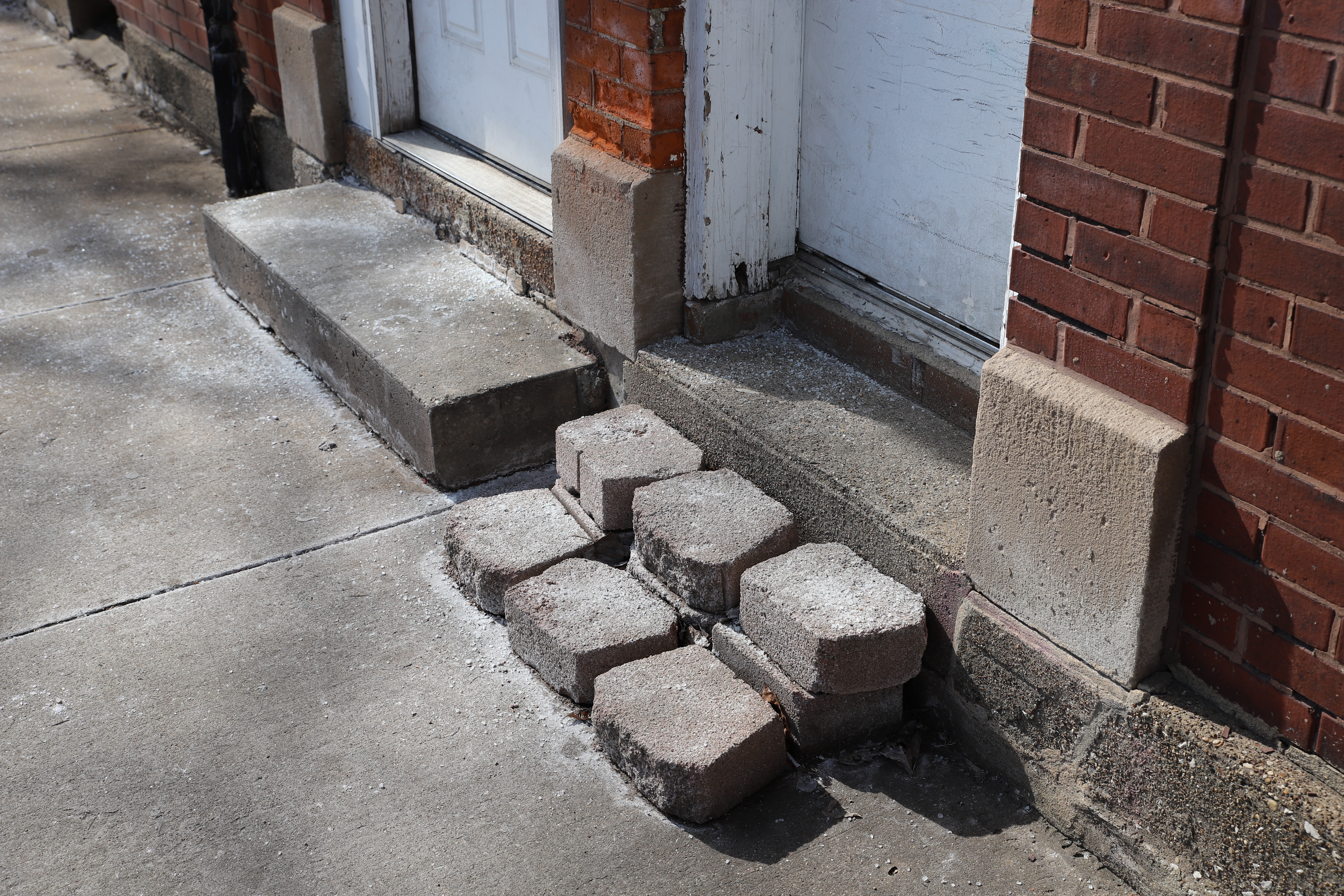
A novel set of footsteps lead the way to a raised front door north of 40th Street. Christopher Silber, 14 East.
Many of the manholes along this strip display only the word “LAWN” on their cover. Most look quite old, and some contain bits of asphalt and concrete from construction work over the years.
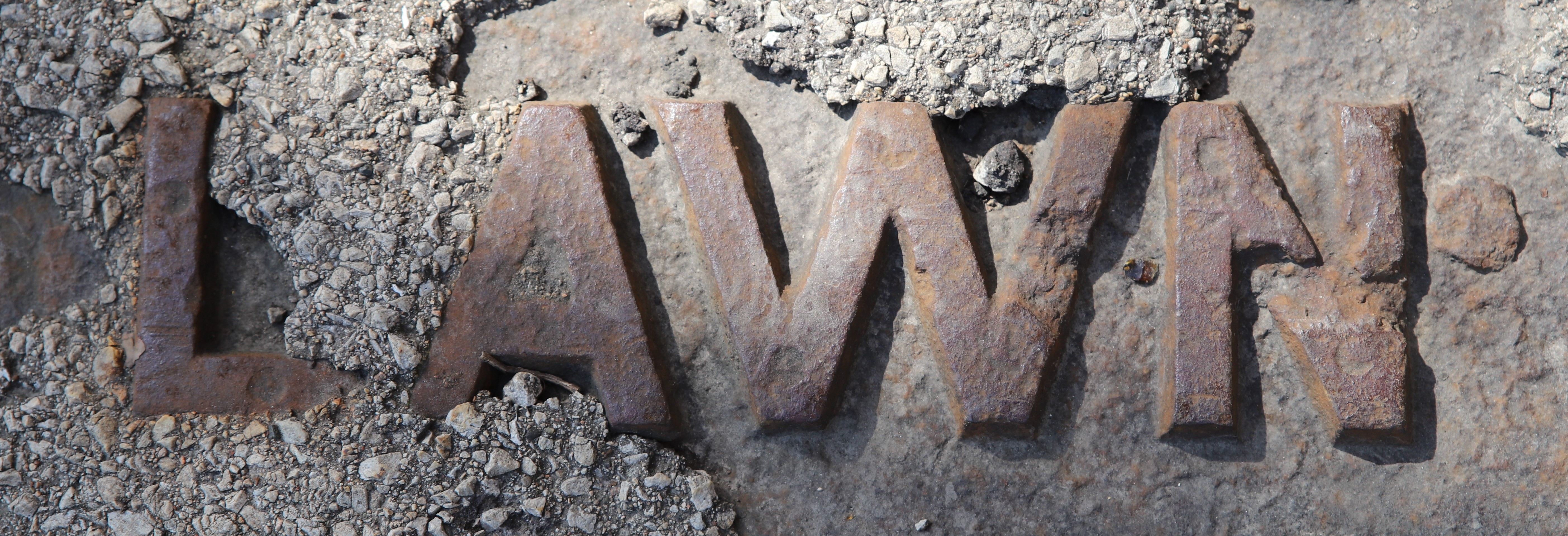
An old manhole cover proudly displays the word “LAWN” between bits of asphalt. Christopher Silber, 14 East.
Xavier’s Club, a bar and music club, stands at the corner on 45th Street, and I see a large ashtray of cigarettes in its outdoor seating area. Brighton Park’s adult smoking rate is slightly lower than the city average, at 16.5 percent of residents, though the rate is higher among New City residents at 20.9 percent.

Cigarettes lie in an ashtray outside of Xavier’s Club on Western Avenue and 45th Street. Christopher Silber, 14 East.
I spot a large, mostly empty field with a sign notifying that the site will one day be the Chicago Park District Headquarters. The plan for the move was announced by then-Mayor Rahm Emanuel and Alderman Ed Burke in September 2018, but it appears construction has yet to start on the property.
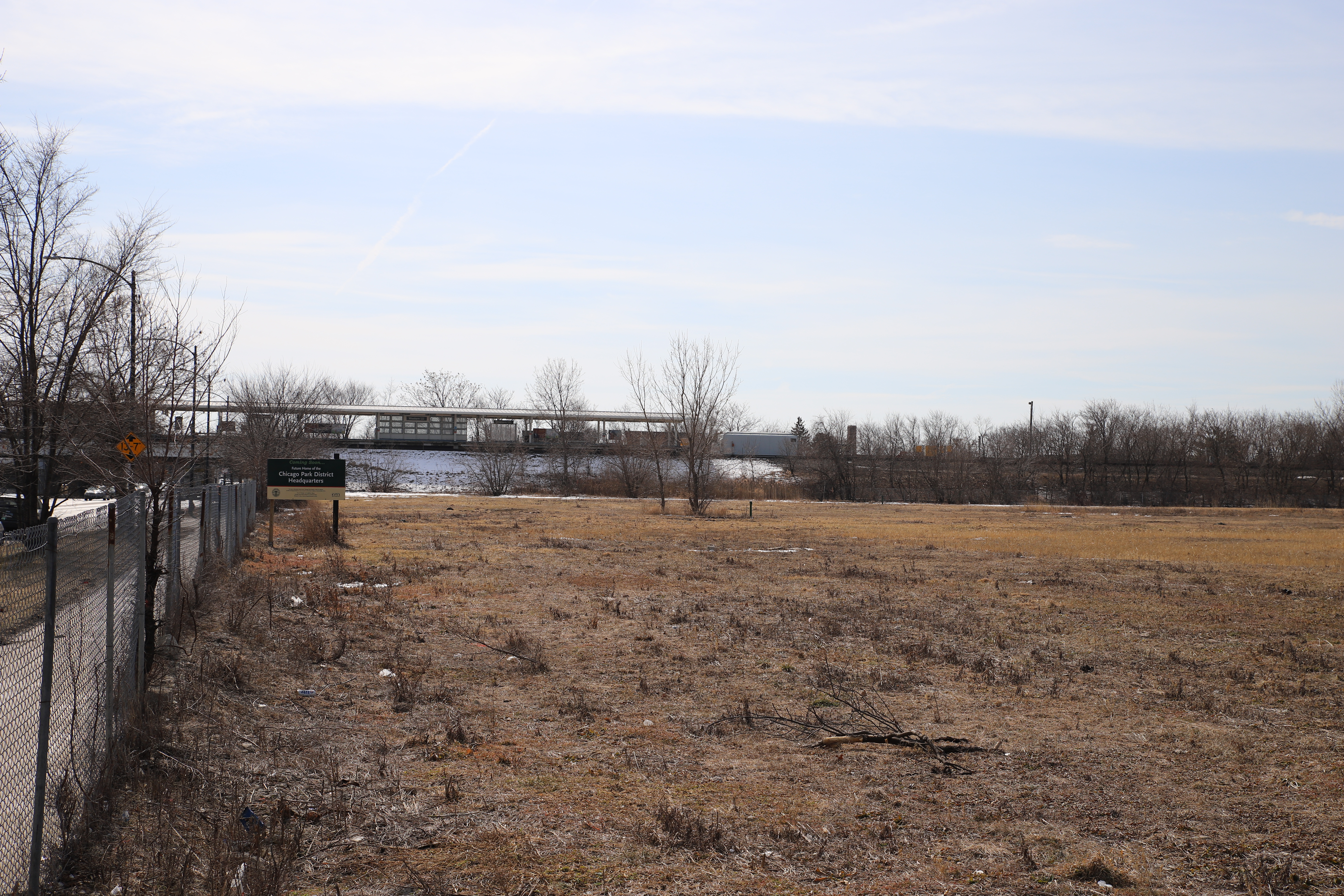
This large empty space will one day host the Chicago Park District Headquarters. Christopher Silber, 14 East.
Gage Park
I reach the final ‘L’ station on my journey - the Western Orange Line Station on 49th Street — and enter Gage Park. I see the Fire Museum of Greater Chicago, which rests at a former fire station south of 52nd Street.
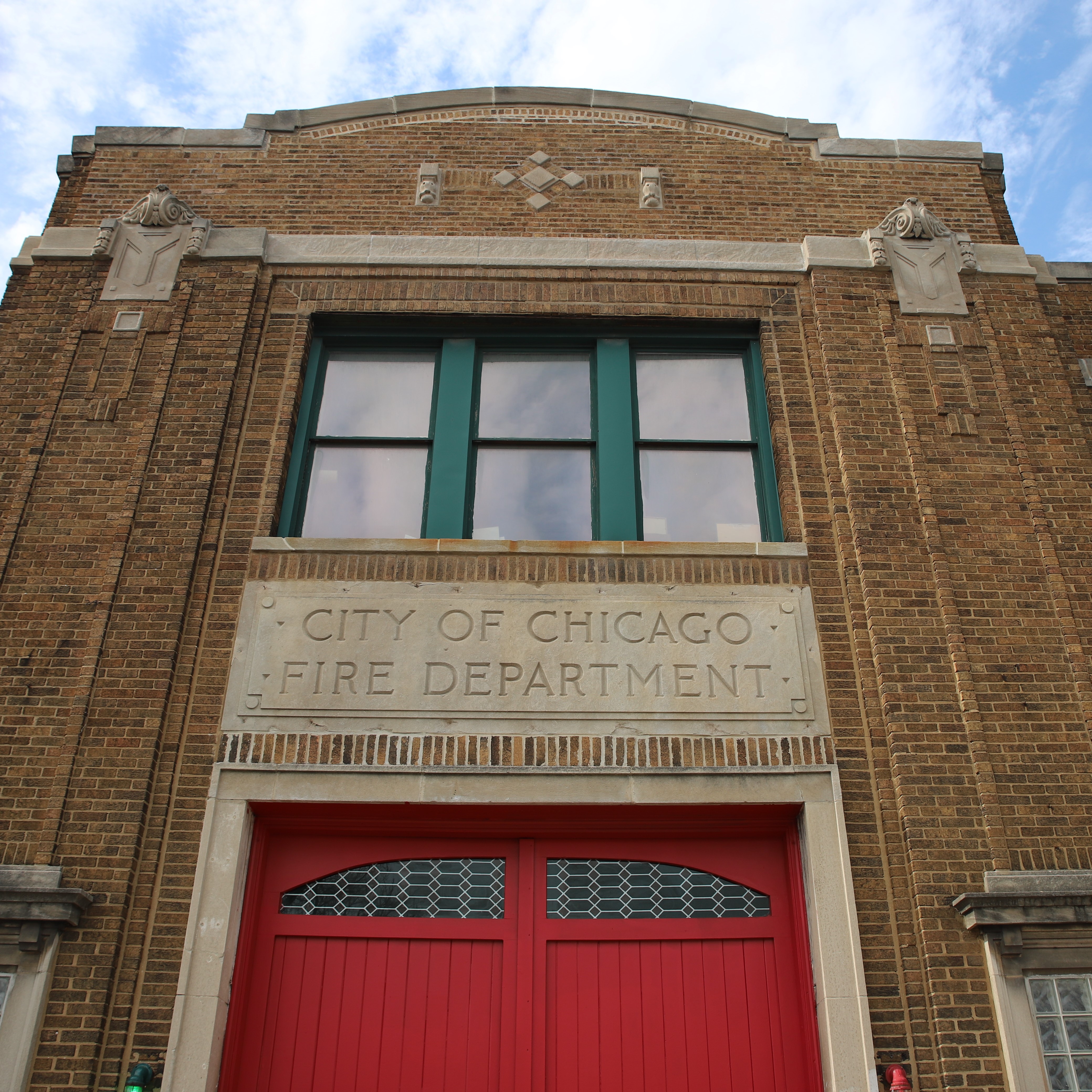
The old fire station is now home to the Fire Museum of Greater Chicago. Christopher Silber, 14 East.
Gage Park (the park) is in an interesting location, as Garfield Boulevard dead-ends into the park and transforms into 55th Street at an intersection in the middle of the park, separating the park’s area into four sections.
Since it is relatively warm today, I see a lot of people using the park facilities, including a few children playing a game of pick-up basketball.
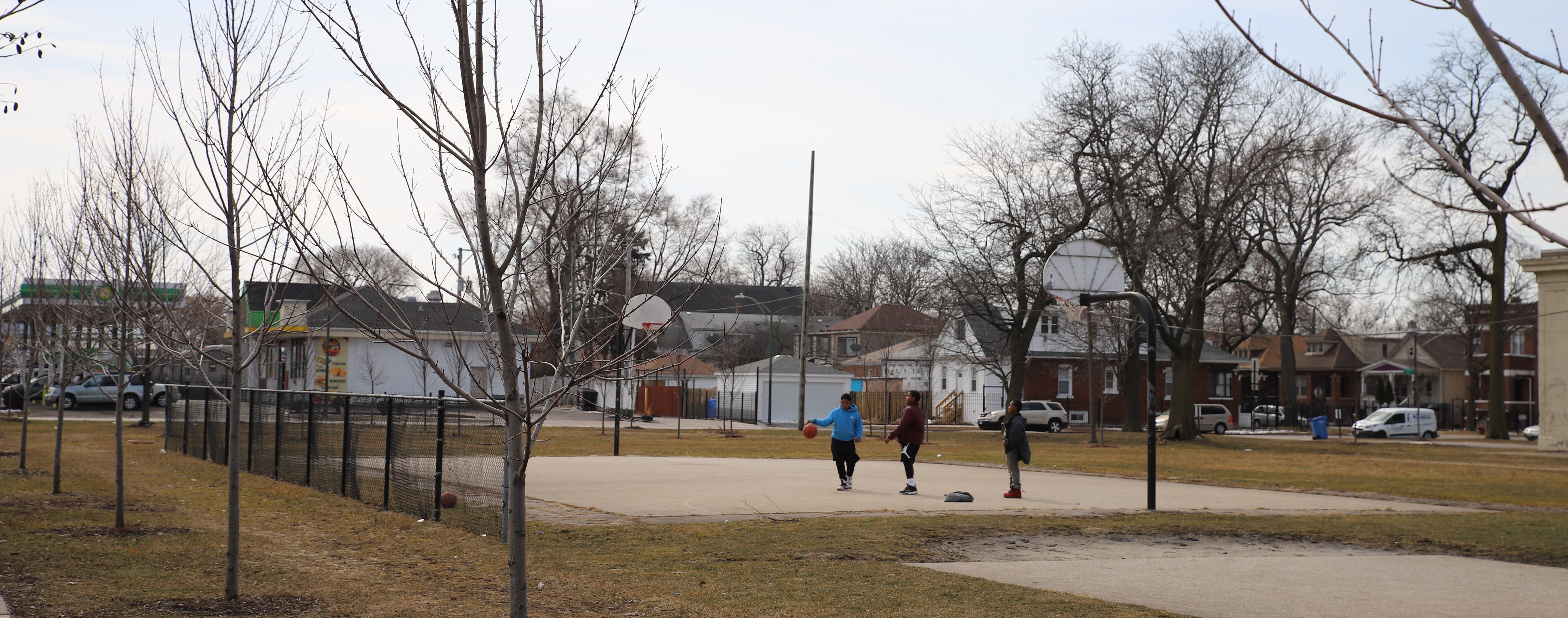
A few kids shoot hoops at Gage Park on a warm March morning. Christopher Silber, 14 East.
After the park I enter a section of Western Avenue that is dominated by car lots. Prior to going on this walk, a few people had mentioned the amount of car lots on the street, and it is between 56th and 77th Streets that I become overwhelmed by the presence of car dealerships.
Walking along the huge businesses, I found that I was paying less attention to the new and used cars and more attention to the metallic streamers that danced in the wind.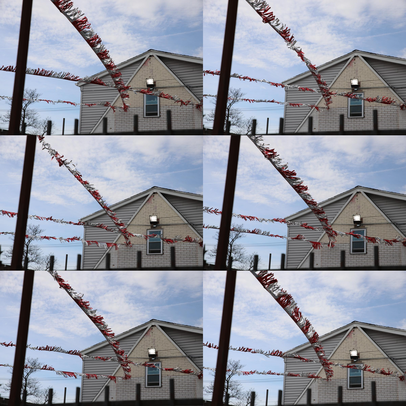
The wind plays with the streamers at Cass Street Auto Sale on Western Avenue and 60th Street. Christopher Silber, 14 East.
People are out getting groceries and going to laundromats I pass this Sunday, especially outside the Dollar Tree on 62nd Street. I talk to a street vendor for a moment as he sets up his merchandise.
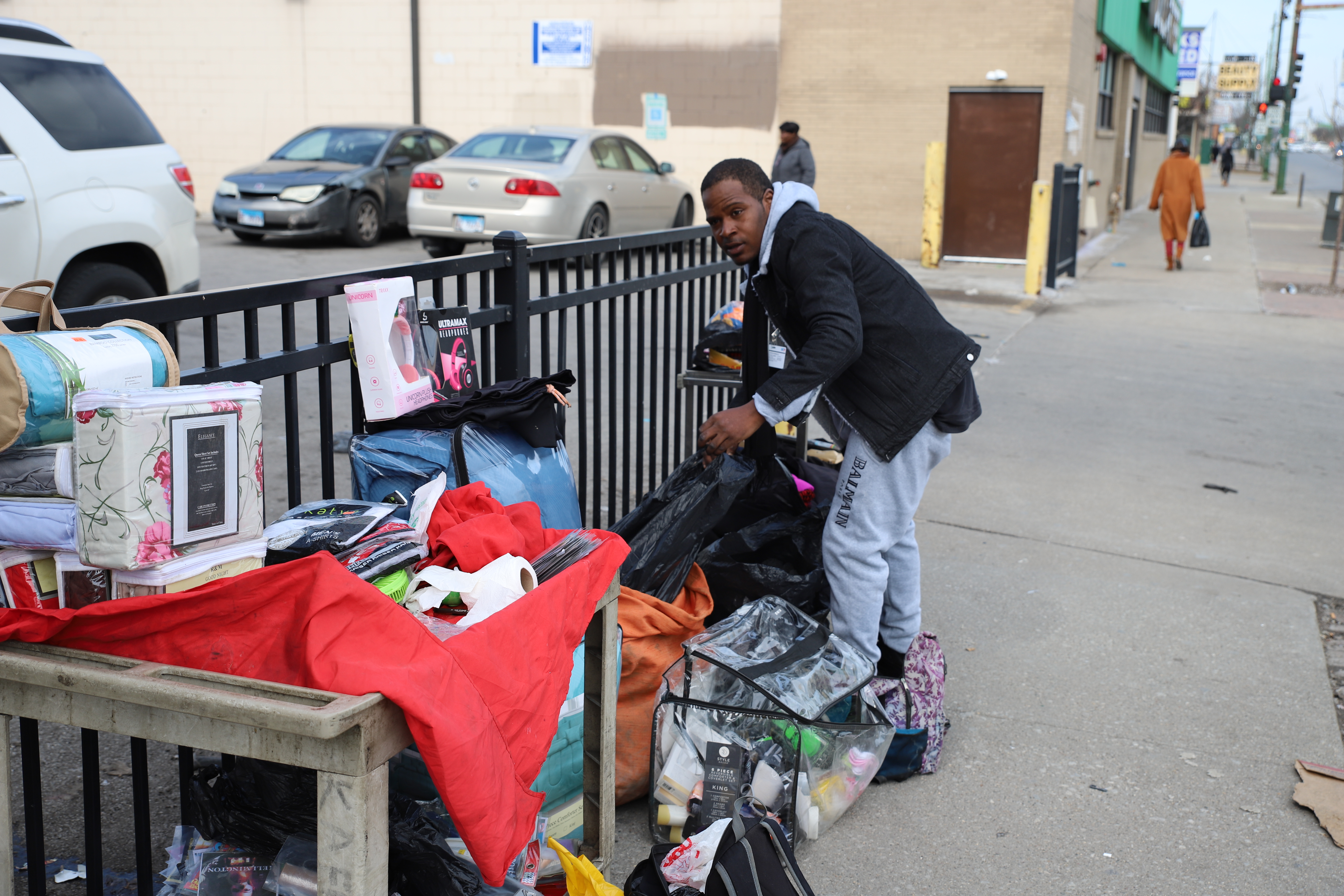
A man sets up shop on 62nd Street and Western Avenue. Christopher Silber, 14 East.
Several major car brands have dealerships on this stretch of road, including Ford, Chevrolet, Toyota and Nissan. Since it’s Sunday, most aren’t open.
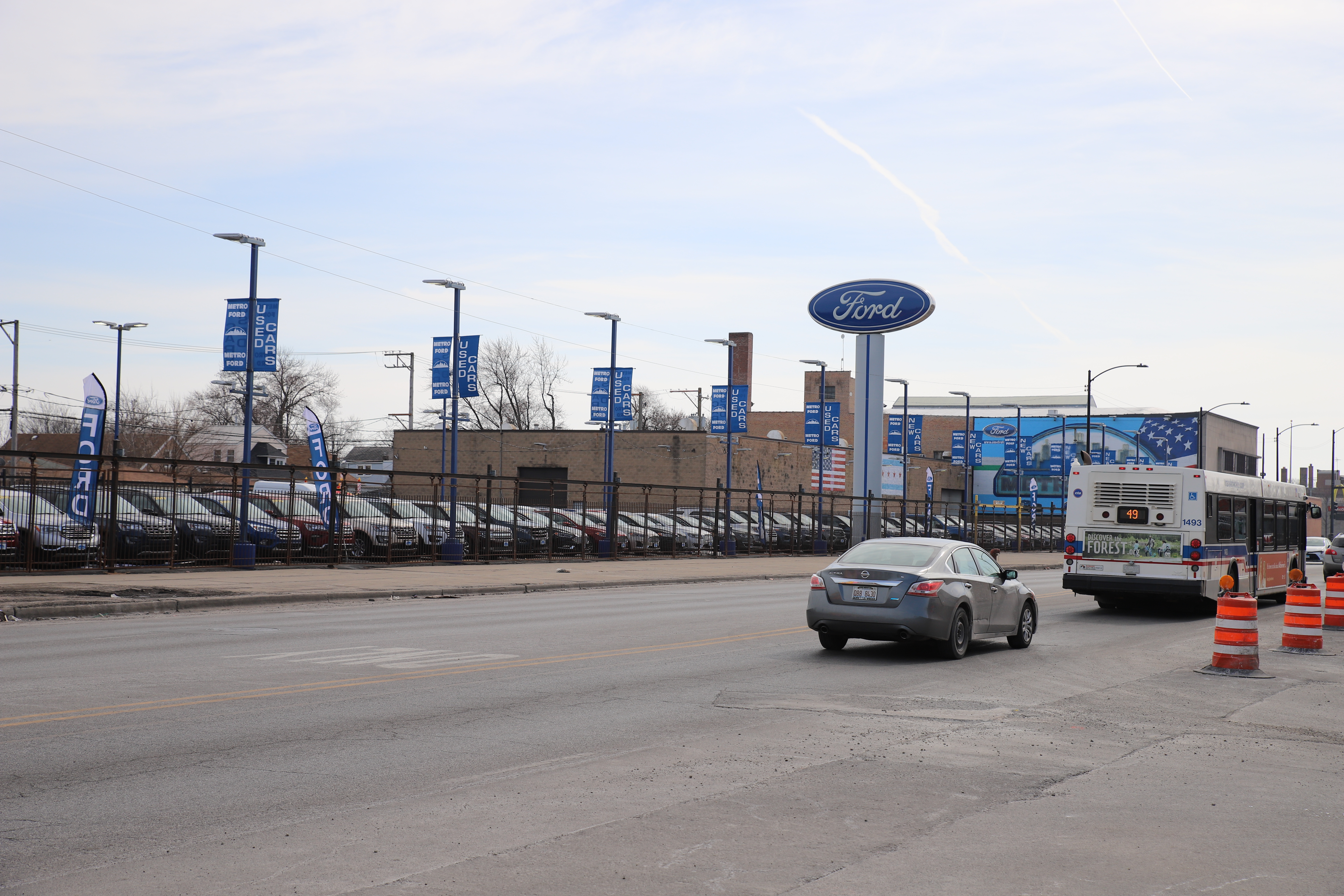
The 49/Western bus rolls by the Metro Ford Chicago dealership on Western Avenue and 65th Street. Christopher Silber, 14 East.
Most of the people walking along the street are locals. I talk to Carl Quinn outside Sam’s Auto Sales. He says his sibling works at the Church’s Chicken on 69th Street, and I should say hello if I ever have the time.
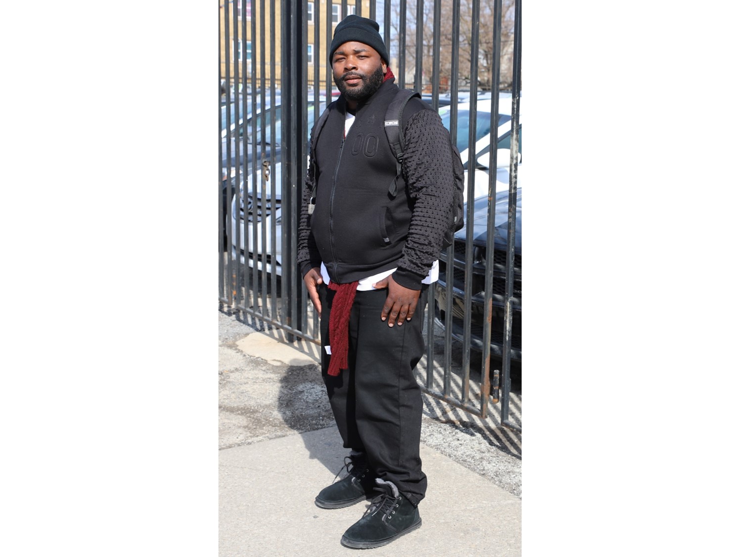
Carl Quinn stands outside a car lot just south of Western Avenue and 68th Street. Christophertopher Silber, 14 East.
A seven mile stretch of 71st Street, including the section I pass, has been honorarily named Emmett Till Road, and red street signs bearing his name dawn every intersection. 2020 marks 65 years since Till, a 14-year-old Chicagoan from Woodlawn, was lynched in Mississippi. His murder drew national reaction and catalyzed the Civil Rights Movement of the 1950s and ‘60s.
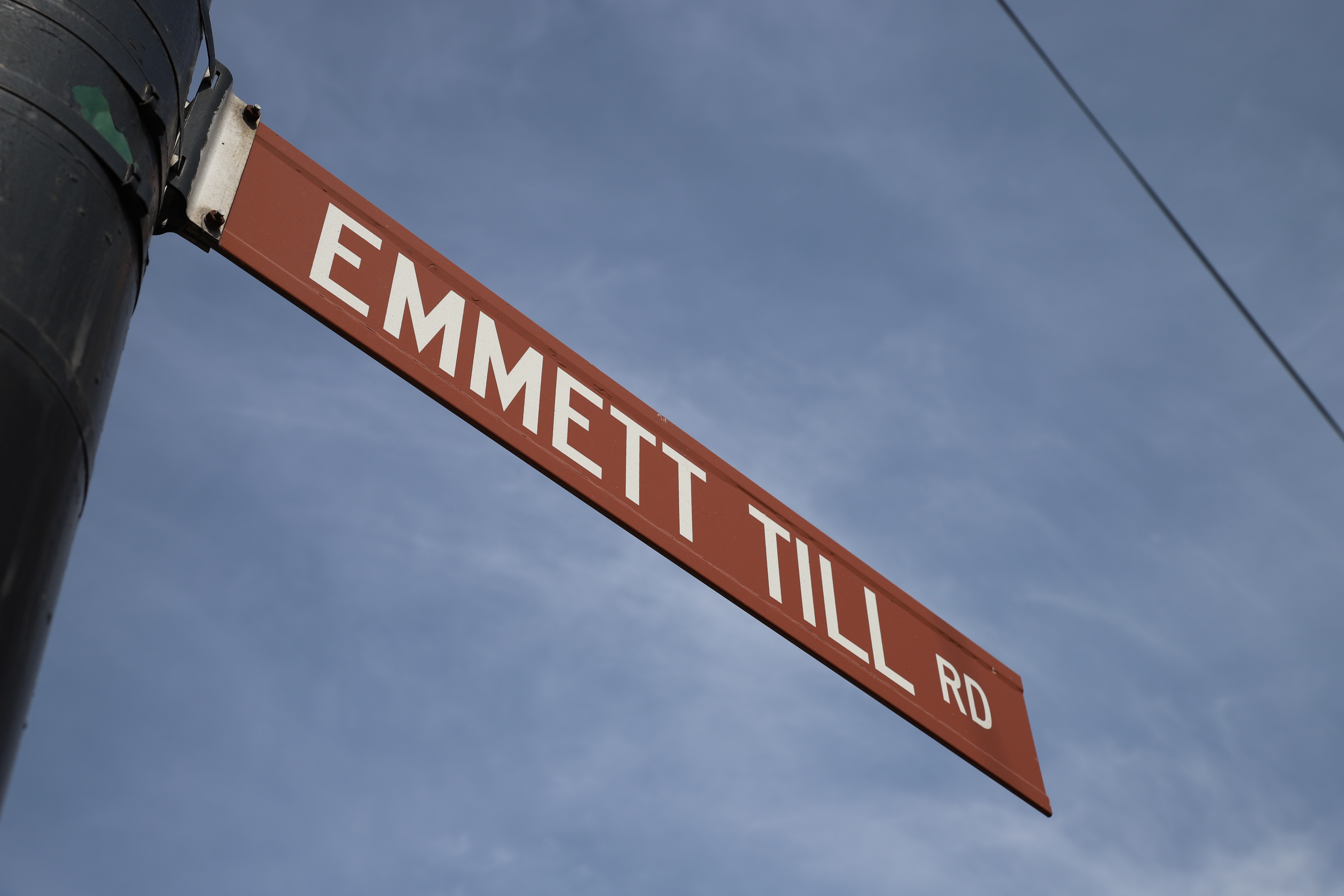
The sign for Emmett Till Road hangs over the intersection of Western Avenue and 71st Street. Christopher Silber, 14 East.
Ashburn
I pass a Norfolk Southern Railway intermodal facility and a Chicago Department of Water Management building and enter the Ashburn community area. Ashburn got its name because it was literally the dumping ground for the city’s ash in the 1800s. It also boasted the city’s first airport, Ashburn Flying Field.
I see St. Rita of Cascia High School, an all-boys Augustinian Catholic School. While the school was founded in 1905, it used to be located about two miles north on Western Avenue on 63rd Street, near St. Rita of Cascia Parish. It moved to this location in 1990.
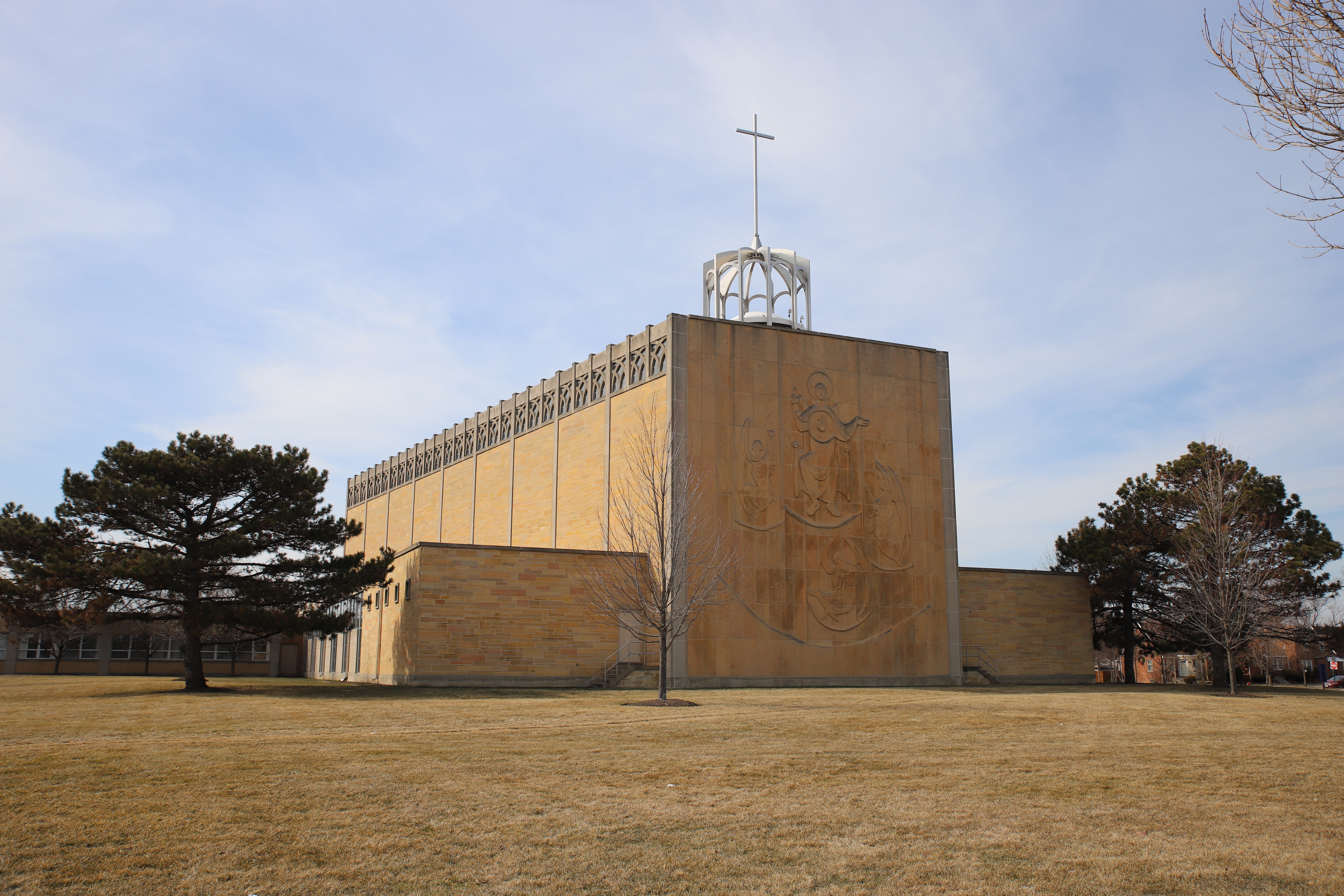
St. Rita of Cascia Shrine Chapel at the high school looks beautiful in the early afternoon. Christopher Silber, 14 East.
At 79th Street, my dear friend, the 49/Western bus, makes its last southern stop at the 79th/Western Bus Terminal. From here south I’ll be seeing 349/S Western Pace bus route run up and down the street.
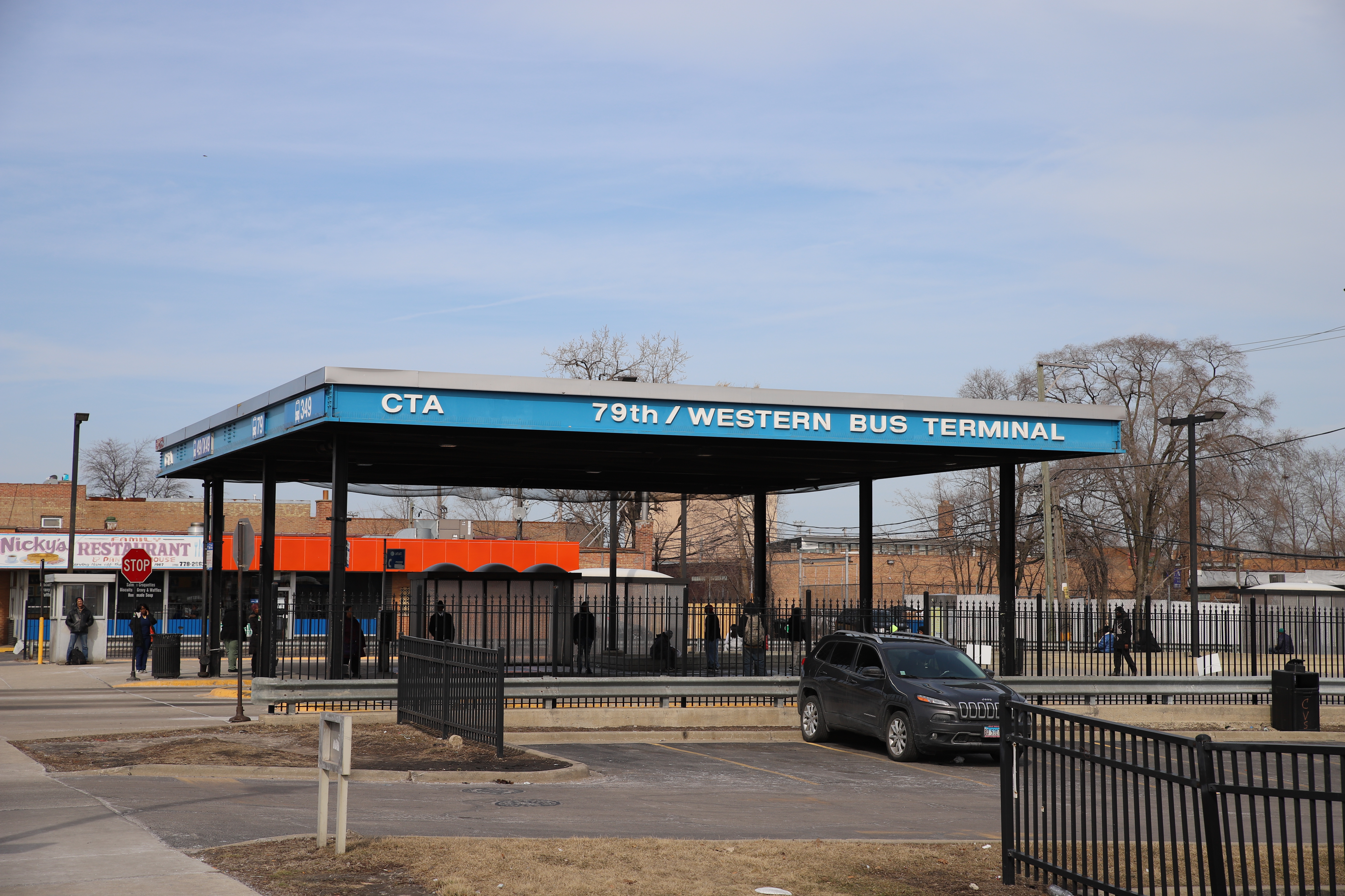
People wait to board the bus at 79th Street and Western Avenue. Christopher Silber, 14 East.
To this point in my travels I have walked through almost every type of the city’s built environment — residential, commercial, industrial and arterial. I finally reach Dan Ryan Woods and am treated to an entirely different experience: forest. The forest preserve was a part of Daniel Burnham's 1909 famous Plan for Chicago, which called for this area — which was at the time a farm — to be part of an outer park system. The preserve takes up 257 acres of city, and borders Western Avenue from roughly 82nd Street to 90th Street.
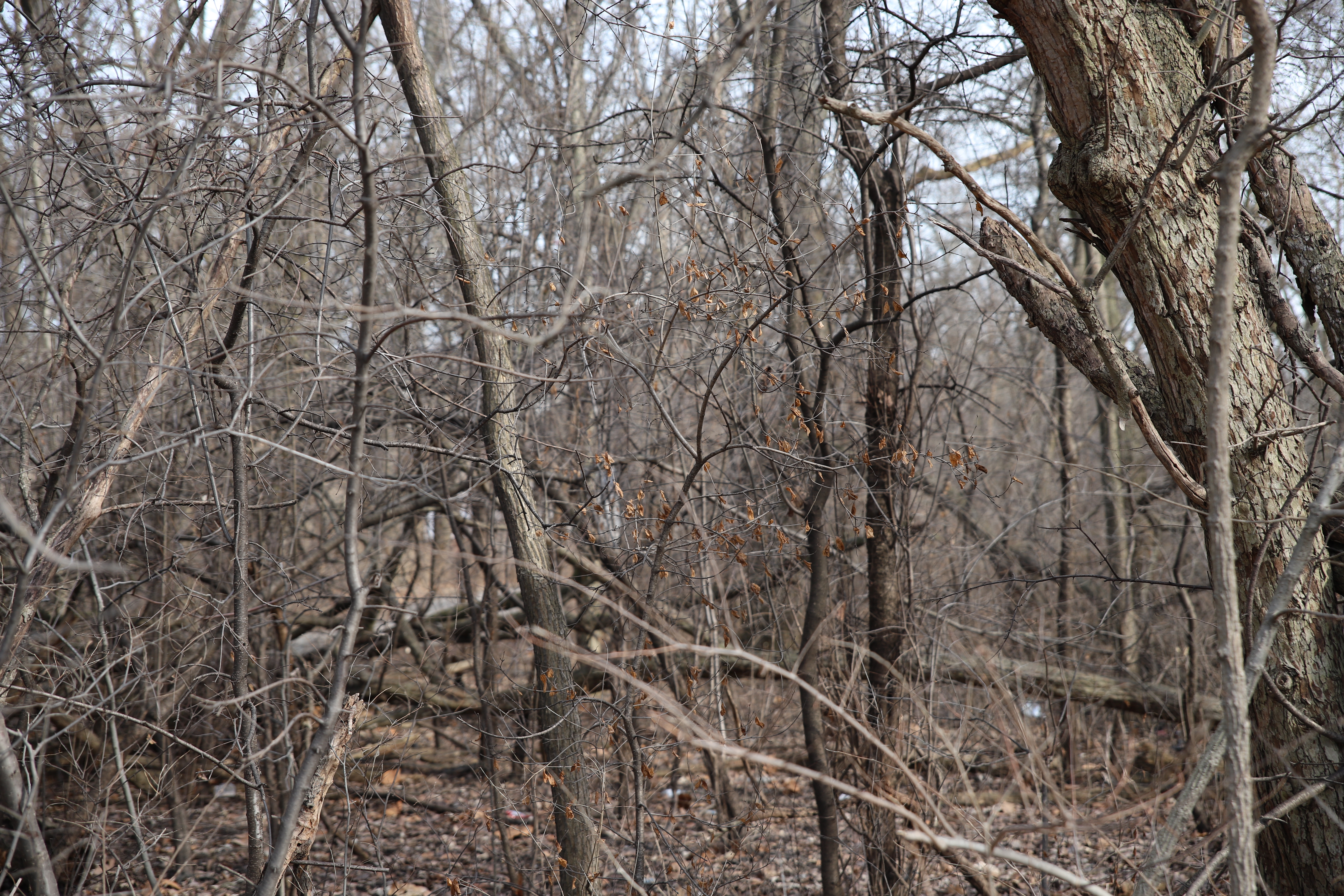
Trees along the sidewalk hide the open park space in Dan Ryan Woods from view. Christopher Silber, 14 East.
Nearly alone on this sidewalk, I have a quiet moment to reflect as cars briefly disappear from the road. I wonder what little things I’ve missed on my walk. I suppose I could take this trip 100 times and find 100 different versions of Western Avenue. 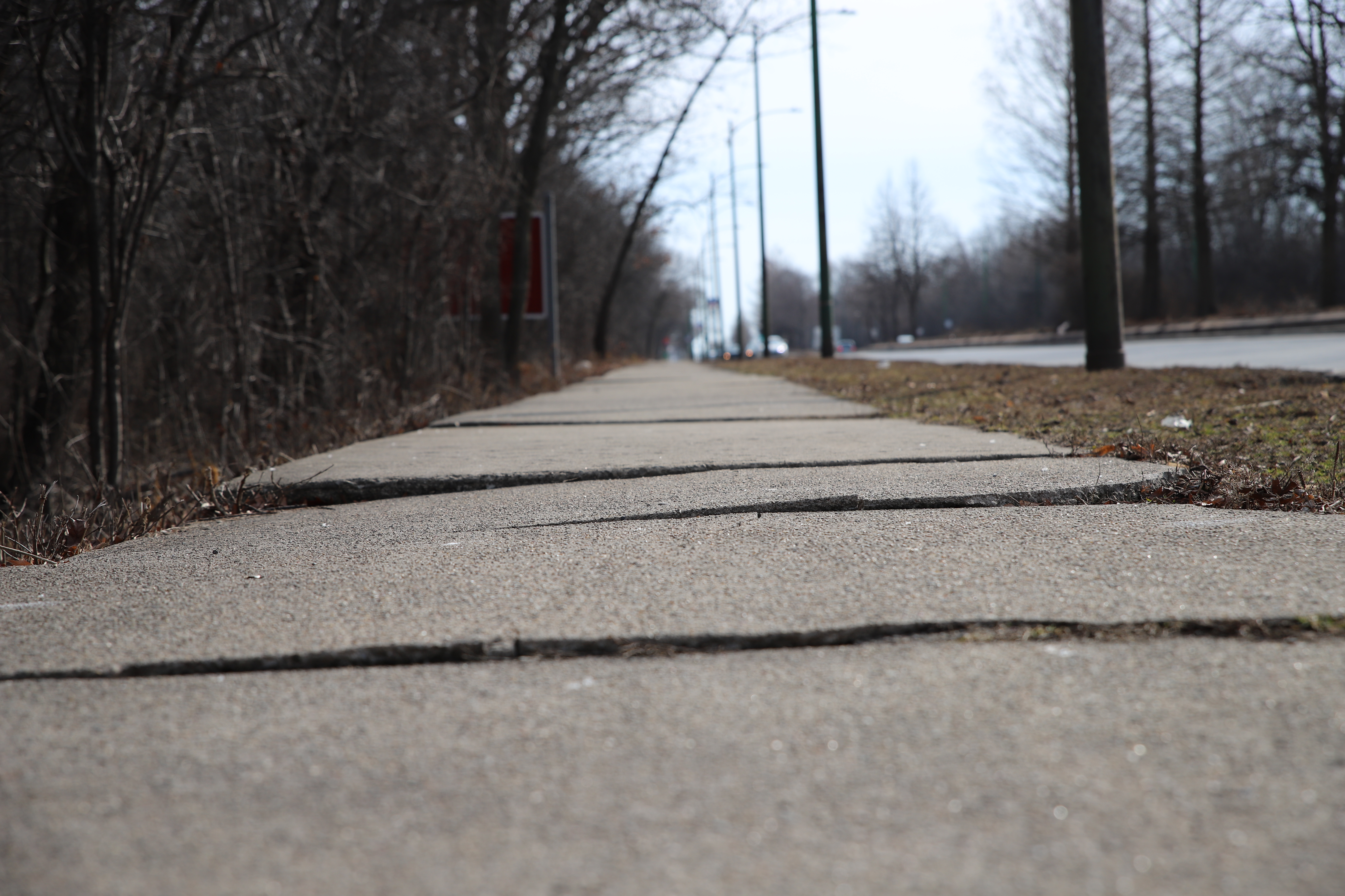
The uneven sidewalk reaches into forest outside Dan Ryan Woods. Christopher Silber, 14 East.
Beverly
I enter the community of Beverly. For several blocks after Dan Ryan Woods — from 87th to 99th Street — everything west of Western Avenue is outside city limits in Evergreen Park. On that side of the street is the large Evergreen Marketplace shopping center. It would seem the large-scale forest preserve has been replaced by the large-scale commercial center.
Here I pass the Original Rainbow Cone ice cream shop. The shop opened in Beverly in 1926 and only a few years later moved to this location on Western Avenue and 92nd Street where it still stands.
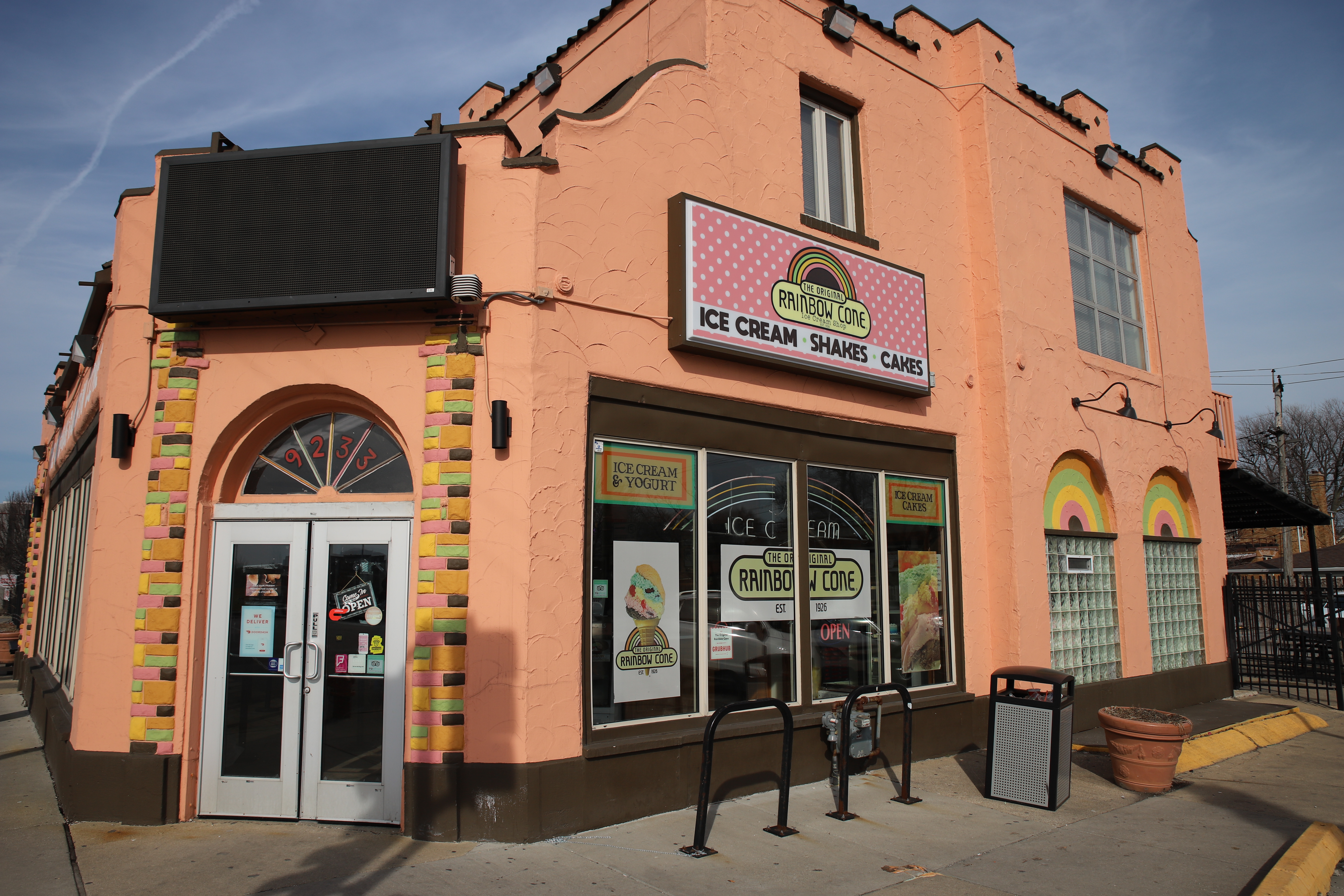
It’s a quiet day at The Original Rainbow Cone. Christopher Silber, 14 East.
I have a conversation with a woman looking under the hood of her car. She says the vehicle was heating up, so she wanted to make sure it wasn’t going to break down before she got home.
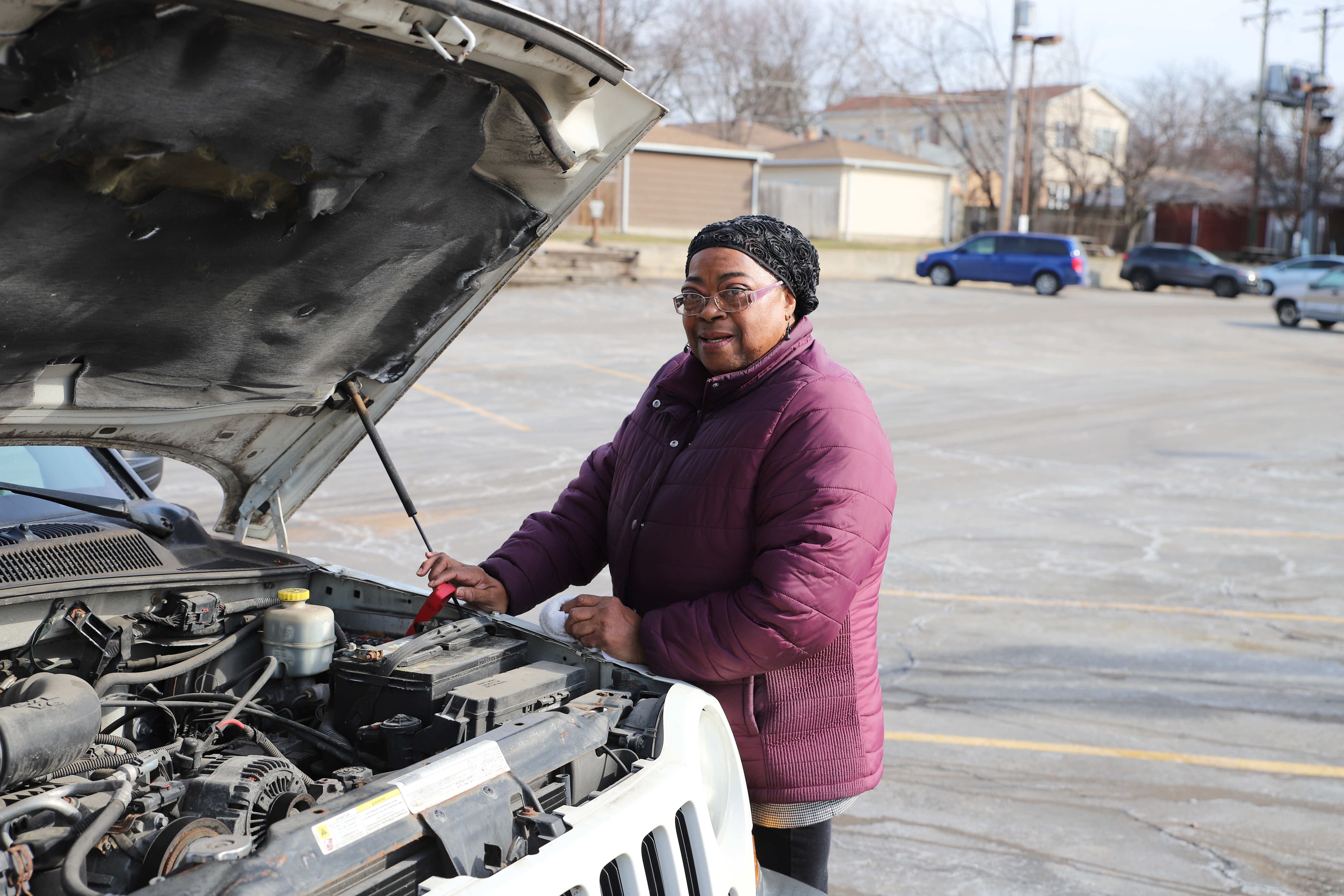
A woman checks her car battery near Western Avenue and 97th Street. Christopher Silber, 14 East.
Beverly has traditionally had a large Irish American population. The South Side Irish St. Patrick’s Day Parade starts in the community, and its route has run on Western Avenue from 103rd to 115th Street since 1981.
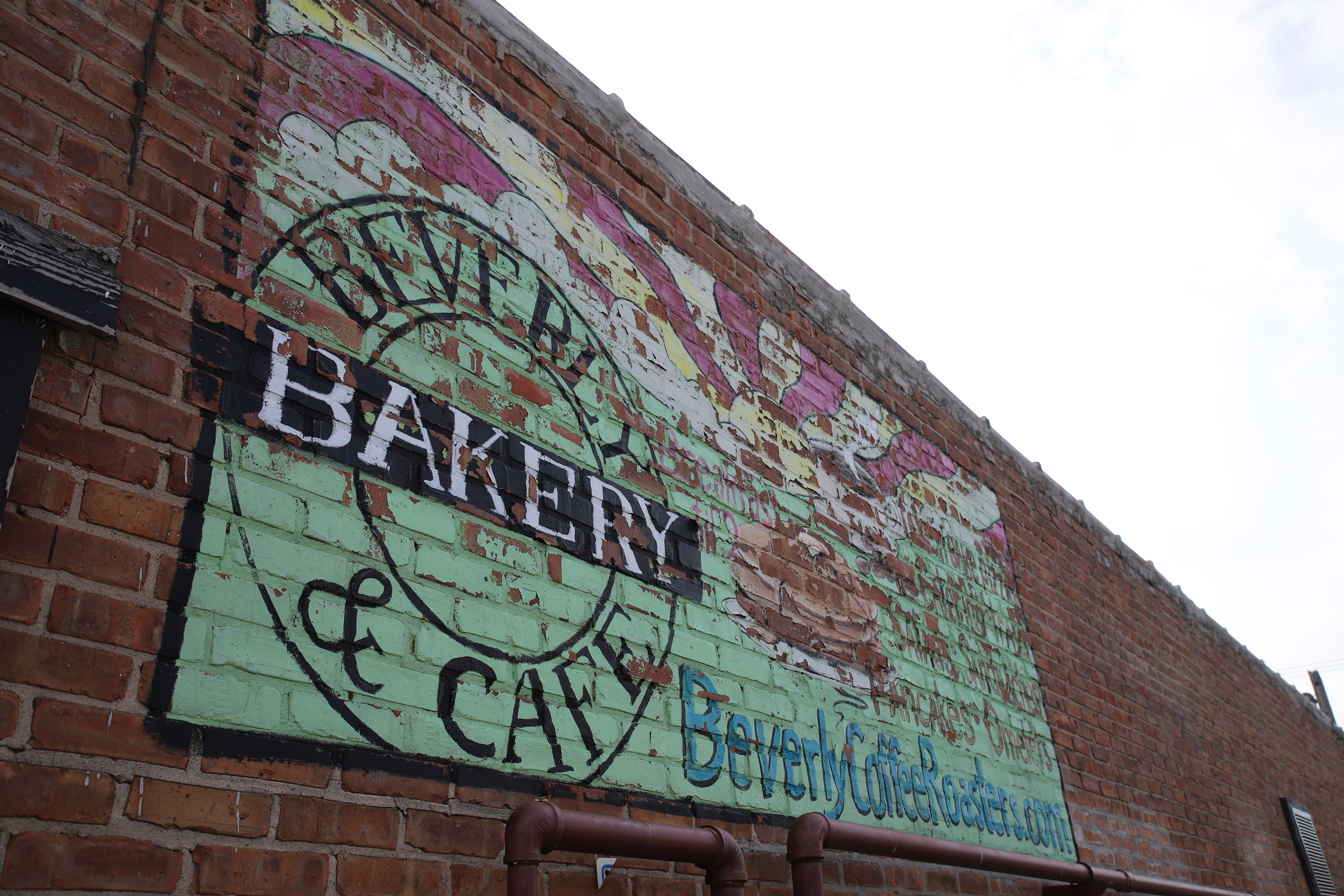
Beverly Bakery and Cafe, which sits just south of 105th Street on Western Avenue, is on the parade path. Christopher Silber, 14 East.
Morgan Park
At 107th Street Beverly transforms into Morgan Park, the final community I will visit.
Frankly, at this point of the walk I’m exhausted. I see a 349/S Western Pace bus, now the third dedicated route I’ve passed on this street after the 49/Western and 49B/Western. But I’m on 109th Street, which means I only have 10 blocks to go.
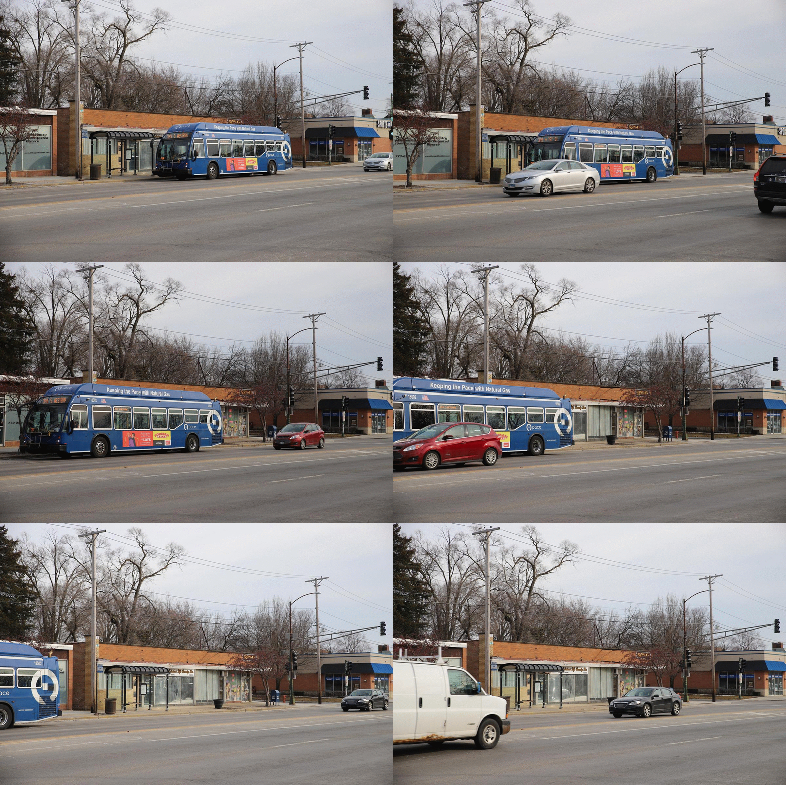
The 349/S Western Pace bus rumbles ahead at 109th Street and Western Avenue. Christopher Silber, 14 East.
Interestingly enough, the Beverly Arts Center actually lies in Morgan Park on 111th Street and Western Avenue. The non-profit center was founded in 1967, and the building has theater spaces, galleries and classrooms.
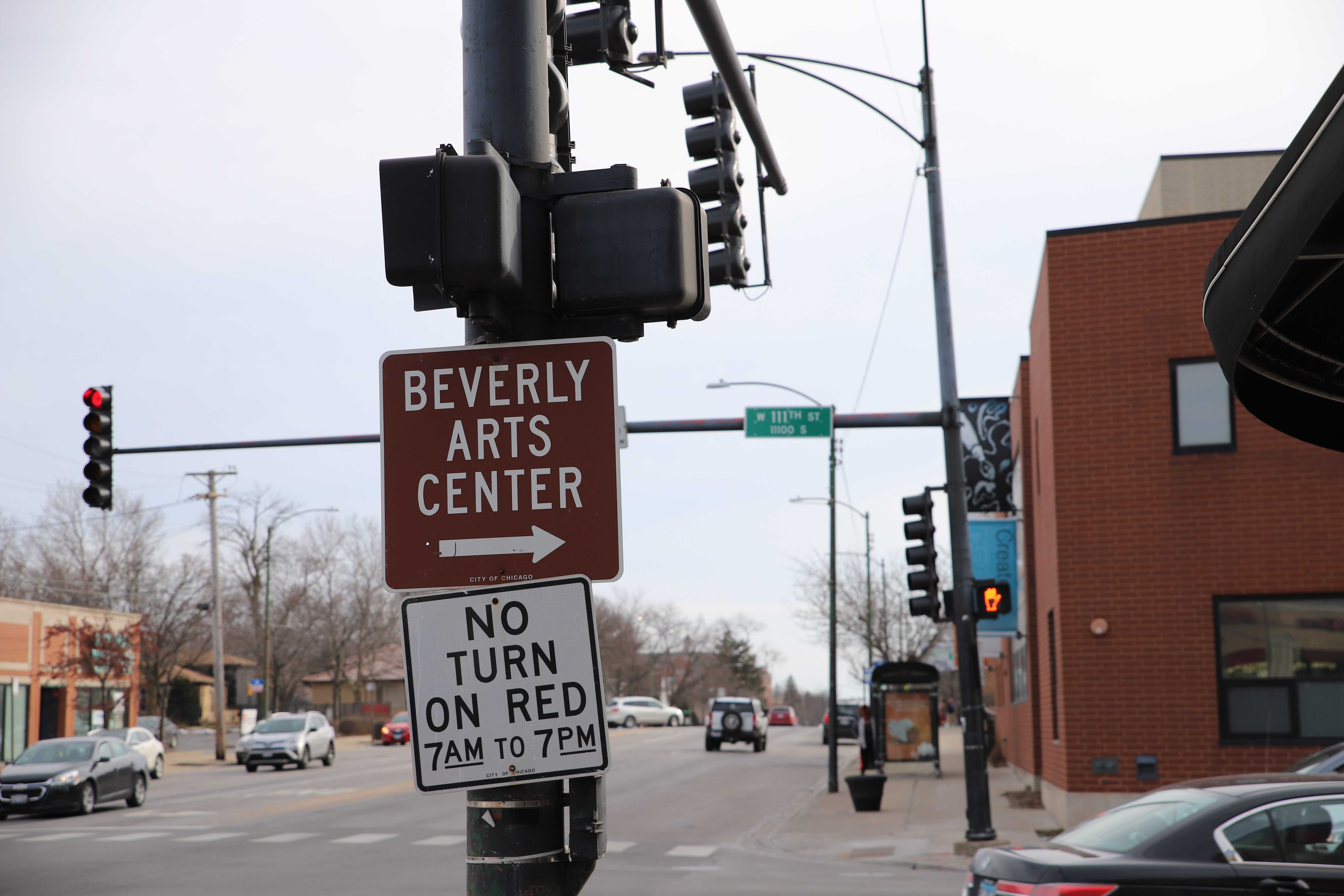
A sign at the intersection of Western and 111th Street points to the Beverly Arts Center. Christopher Silber, 14 East.
I pass Kennedy Park to my right and briefly watch a few people play tennis. Across the street, I see the huge building that is the Smith Village Senior Living facility. Smith Village was established in 1924.
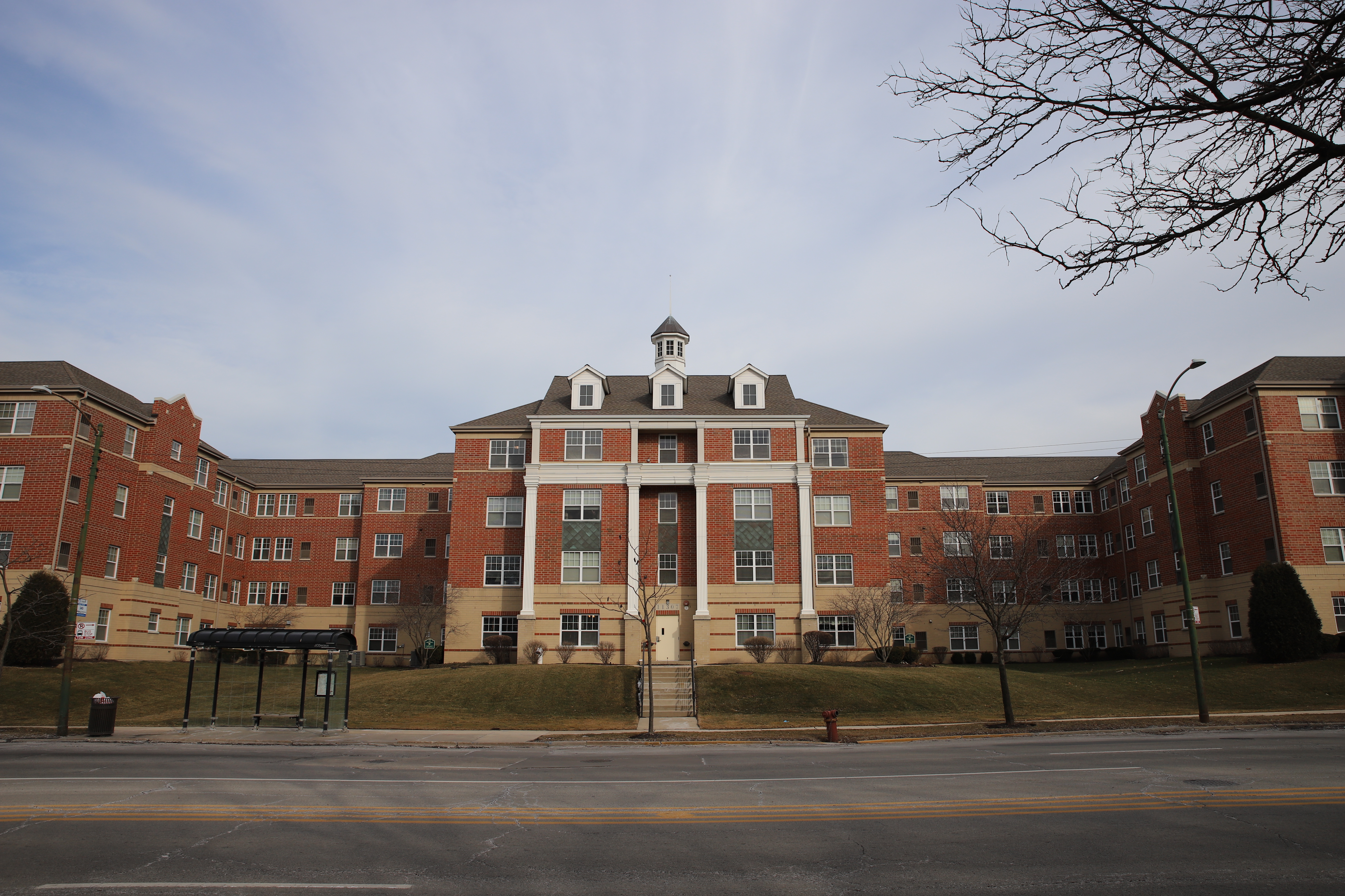
Smith Village looks upon Western Avenue south of 113th Street. Christopher Silber, 14 East.
All things end. Well, Western Avenue doesn’t actually end at 119th Street, but Chicago’s boundaries do. The avenue continues south for several miles until it becomes Dixie Highway at around 147th Street.
It is a bit fitting that the intersection at the end of my trip reminds me of the one where I began — there’s a Walgreens and a McDonald’s that greet me, and honking horns that do not. Yet now, standing 24 miles south, I also feel like I’m in a different world altogether.
Chicago’s complexity manifests along its streets, which dart unwaveringly through our neighborhoods.
What happens when we reach the end of the road? I guess we turn around, and walk back home.
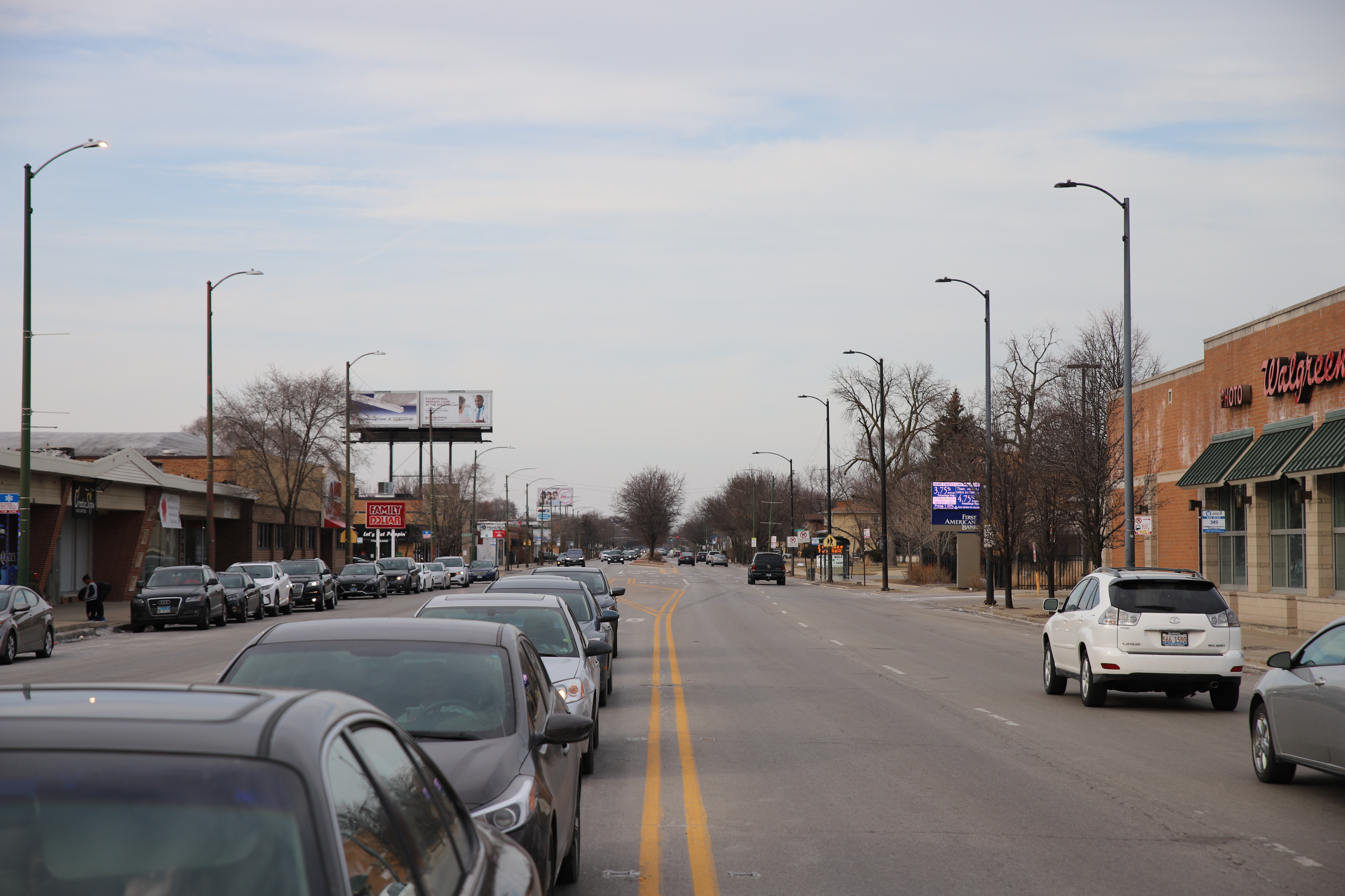
Western Avenue goes north from 119th Street. Christopher Silber, 14 East.
Header image by Christopher Silber, 14 East


Los Angeles Is a Fantastic Walking City. No, Really. – in lieu, faux blog
21 August
[…] also rediscovered Christopher Silber’s 2020 account of walking Western Avenue in four segments over four days and the 2016 story of Steve Mosqueda and Sean Benjamin doing the walk over three days and having […]